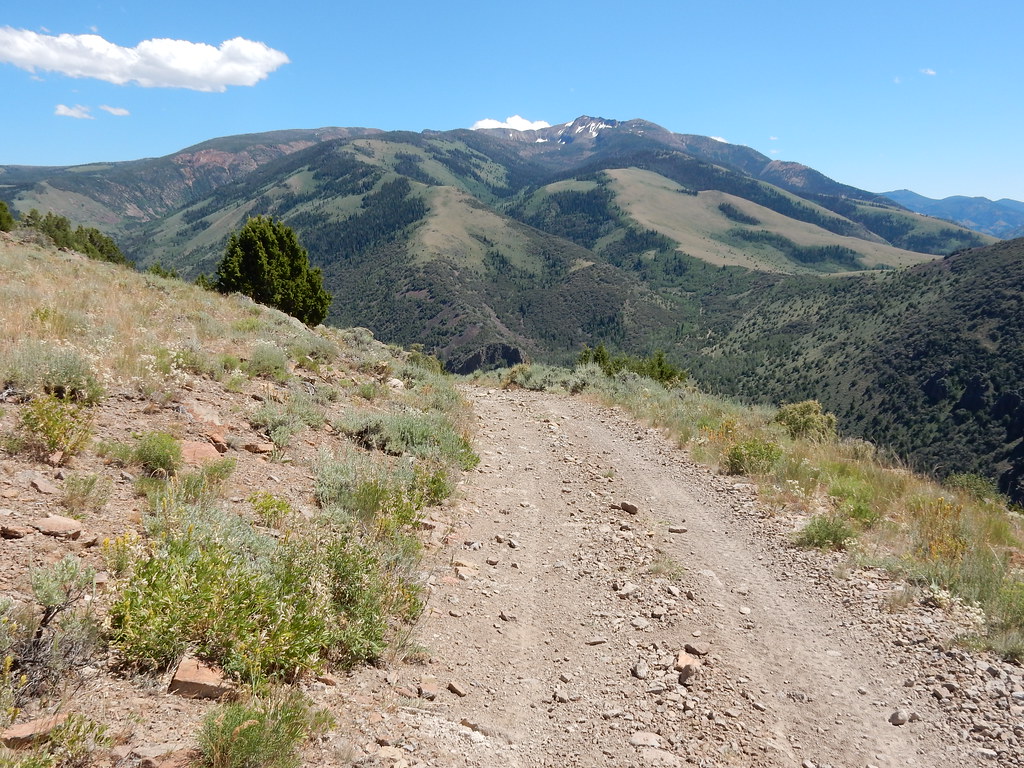
Buck Creek
Jarbidge, Nevada
Free — you'll pick up right here.
Conditions: Clear
for canoeing, todayWeather is good
1 factor · 1 source
Observed 18 h ago
clear: Weather
Clear, high 75°F / low 47°F, 0% precip — 90/100 for canoeing
OpenWeather18 h ago
Been out here in the last few days? One report keeps this current for everyone.
Why you'll love it
Here's your day on the water, mapped
Buck Creek
Suggested plan · check conditions before you go
Photos
Directions & GPX
Permits & access
No permit or access details on file for this water — check with the local land manager before you go.
About this water
Buck Creek is a 11-mile paddling stretch near Jarbidge, Nevada.
Facts about this water
When to go
Typical monthly averages (not a forecast) from the Jarbidge 7 N, NV weather station, 2.9 mi away. High / low in °F.
- Jan38° high18° low
- Feb38° high18° low
- Mar44° high23° low
- Apr51° high27° low
- May61° high34° low
- Jun71° high40° low
- Jul82° high47° low
- Aug81° high46° low
- Sep71° high38° low
- Oct58° high29° low
- Nov43° high22° low
- Dec35° high16° low
The station sits about 1,200 ft lower than this spot, so expect it to run cooler up here.
Nearby
- Clover TrailHiking3 mi
- Jack CreekHiking3.8 mi
- JennyHiking4.2 mi
- Sawmill CampgroundCamping5 mi
- Jarbidge RiverRiver fishing5.7 mi
- East Fork Jarbidge RiverCanoeing6.7 mi
- Pavlak CampgroundCamping6.9 mi
- Upper Bluster CampgroundCamping7.1 mi
Source: Roamze catalog (indexable pages within 10 miles, PostGIS distance)
Add to a trip & share
Keep exploring — more water worth the drive
 Photo: BLM, Public domain (via Wikimedia Commons)
Bruneau River
~13 min drive
Bruneau River is a 67-mile paddling stretch near Jarbidge, Nevada. It is intermittent and may run dry in some seasons. USGS models an average flow of about 403 cfs and a gradient of about 27.1 feet per mile. Land along it is managed by the U.S. Forest Service.
Jarbidge River Launch Site
~14 min drive
A worthwhile stop near Idaho.
 Photo: Famartin, CC BY-SA 3.0 (via Wikimedia Commons)
Jarbidge River
~16 min drive
Jarbidge River is a 47-mile paddling stretch near Rogerson, Idaho. It flows year-round. USGS models an average flow of about 171 cfs and a gradient of about 79.6 feet per mile.
Cedar Creek Reservoir
~59 min drive
A worthwhile stop near Idaho.
 Photo: Bureau of Land Management, CC BY 2.0 (via Wikimedia Commons)
Sheep Creek
~46 min drive
Sheep Creek is a 63-mile paddling stretch near Bruneau, Idaho. It flows year-round. USGS models an average flow of about 62 cfs and a gradient of about 43.0 feet per mile. Land along it is managed by the Bureau of Land Management.
Upper Salmon Falls Creek Boat Launch
~1h 5m drive
A worthwhile stop near Idaho.
 Photo: U.S. Bureau of Land Management, Oregon, Public domain (via Wikimedia Commons)
Owyhee River
~55 min drive
Owyhee River is a 70-mile paddling stretch near Mountain City, Nevada. It is intermittent and may run dry in some seasons. USGS models an average flow of about 1,109 cfs and a gradient of about 21.6 feet per mile.
Salmon Falls Creek Boat Launch
~1h 6m drive
A worthwhile stop near Idaho.
 Photo: Bureau of Land Management, Public domain (via Wikimedia Commons)
Salmon Falls Creek
~1h 1m drive
Salmon Falls Creek is a 92-mile paddling stretch near Rogerson, Idaho. It is intermittent and may run dry in some seasons. USGS models an average flow of about 205 cfs and a gradient of about 26.0 feet per mile.
 Photo: Famartin, CC BY-SA 3.0 (via Wikimedia Commons)
North Fork Humboldt River
~1h 19m drive
North Fork Humboldt River is a 97-mile paddling stretch near Elko, Nevada. It is intermittent and may run dry in some seasons. USGS models an average flow of about 183 cfs and a gradient of about 20.5 feet per mile. Land along it is managed by the Bureau of Land Management.