Sagebrush Creek
At a glance
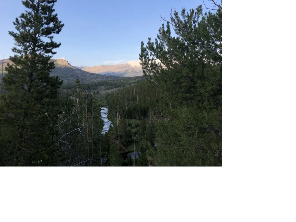
Sagebrush Creek is a 5.5-mile paddling stretch on state land near Boulder, Wyoming, managed by the State Land Board. The creek flows year-round, and USGS models an average flow of about 33 cubic feet per second with a gradient of about 97.5 feet per mile. Summer is the most comfortable time to paddle. Typical averages from a nearby weather station in South Pass City show July highs around 78°F with lows near 41°F, while winter highs stay in the upper 20s. Dutch Joe Campground sits about 2 miles away. Blucher Creek Campground and Little Sandy are both within about 6 miles, and Big Sandy Campground is roughly 8 miles off.
- distance
- 5.6 mi
- high point
- 8,373 ft
- best months
- Jun–Aug
Where it is: State Lands 1111123581
Near: Lander
Best time to visit Sagebrush Creek
Best months: June–August. Best months have typical highs of 55–85 °F, lows of 30 °F or warmer (32 °F where the station doesn't record snow), at most one snowy day and no more than 12 wet days.
Jan
28°
2°
Feb
29°
4°
Mar
38°
12°
Apr
47°
19°
May
59°
28°
Jun
70°
35°
Jul
78°
41°
Aug
77°
38°
Sep
67°
31°
Oct
53°
23°
Nov
37°
12°
Dec
28°
3°
Typical high / low (°F) and days with rain or snow, 1991–2020. Measured at South Pass City, WY, 24.2 mi away at 7,840 ft. The station sits about 500 ft lower than this place, so expect it a little cooler here. This station doesn't record snowfall. Source: NOAA NCEI U.S. Climate Normals 1991–2020.
Been here? Tell people how it was.
- Dutch Joe CampgroundCamping2.1 mi
- Little SandyHiking5.4 mi
- Blucher Creek CampgroundCamping5.7 mi
- Big Sandy/highline ConnectorHiking7.7 mi
- Big Sandy/fremont ConnectorHiking7.7 mi
- Big Sandy CampgroundCamping7.8 mi
- Wind River PeakHiking7.8 mi
 Sweetwater Guard Station CampgroundCampingPhoto: Recreation.gov (RIDB) / public domain9.7 mi
 Big Sandy RiverCanoeingPhoto: G. Thomas at English Wikipedia, Public domain (via Wikimedia Commons)~29 min drive
- Meadow Lake Boating SiteBoat launch~53 min drive
 Middle Popo Agie RiverCanoeingPhoto: Chiffre01, CC BY-SA 4.0 (via Wikimedia Commons)~36 min drive
- Half Moon Lake Boating SiteBoat launch~1h 1m drive
- Sweetwater RiverCanoeing~26 min drive
- Worthen Meadows Boating SiteBoat launch~32 min drive
- Little Sandy CreekCanoeing~28 min drive
- Boulder Lake Boating SiteBoat launch~46 min drive
- Silver CreekCanoeing~33 min drive
- Boulder Lake Boat RampBoat launch~49 min drive
Also worth it near here
- Zembo ReservoirLake fishing~6 min drive
- Sweetwater Guard Station CampgroundCamping~17 min drive
 Haystack MountainRock climbingPhoto: Intermountain Forest Service, USDA Region 4 Photography, Public domain (via Wikimedia Commons)~20 min drive
 War Bonnet PeakSummitPhoto: Doc Searls from Santa Barbara, USA, CC BY-SA 2.0 (via Wikimedia Commons)~22 min drive
Conditions and forecast
Daily highs and lows, wind and the chance of precipitation at Start for the next 7 days, from the Open-Meteo model.
Ask about this place
Questions about Sagebrush Creek: conditions, access, timing. Answers say when something isn't known.
