McFee Creek
At a glance
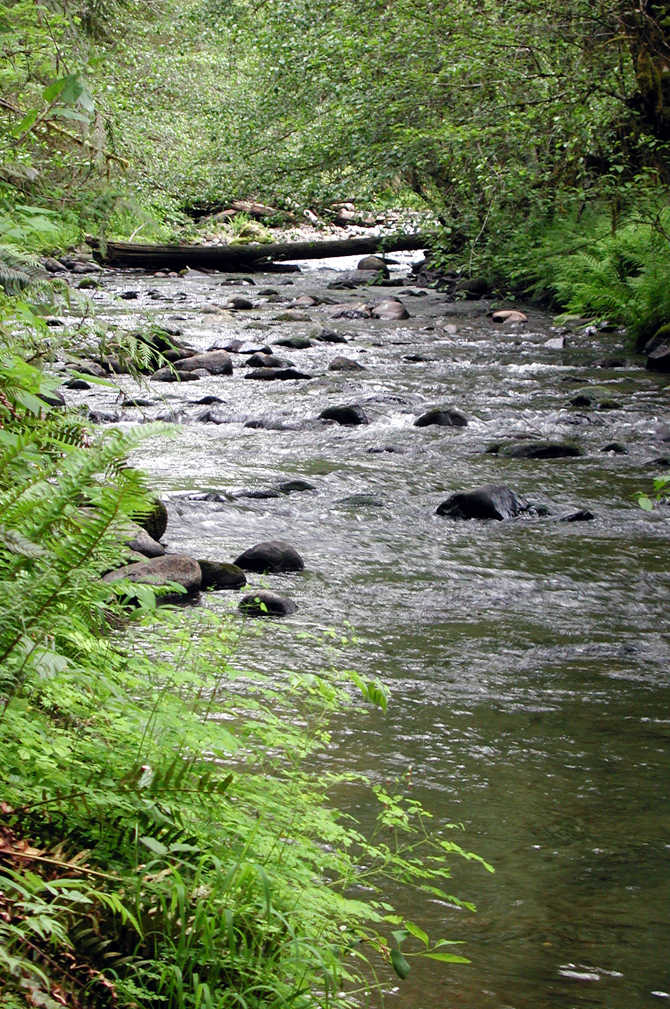
McFee Creek is a paddling destination in Oregon, about 1.2 miles from the town of Midway. It's a canoeing spot, and its location close to town makes it an easy outing for anyone based in Midway or heading out into the surrounding area. Summer is the most comfortable time to paddle here. Typical averages from a nearby weather station run to highs around 81°F in July and August, with only about four wet days a month. That station sits roughly 570 feet below the creek, so expect the creek itself to run slightly cooler. Winter is far wetter, with around 20 days with precipitation in December and January. Chehalem Creek, another canoeing route, lies about 6 miles away, and Beaverton Creek and Dairy Creek are within about 10 miles. For hiking, the Woodland Trail is about 5 miles off.
- distance
- 8.2 mi
- high point
- 1,087 ft
- best months
- May–Sep
Near: Hillsboro
Best time to visit McFee Creek
Best months: May–September. Best months have typical highs of 55–85 °F, lows of 30 °F or warmer (32 °F where the station doesn't record snow), at most one snowy day and no more than 12 wet days.
Jan
45°
35°
19 wet
Feb
50°
36°
16 wet
Mar
55°
38°
17 wet
Apr
61°
41°
15 wet
May
66°
47°
12 wet
Jun
72°
51°
8 wet
Jul
81°
56°
4 wet
Aug
81°
56°
4 wet
Sep
75°
52°
7 wet
Oct
62°
45°
13 wet
Nov
51°
39°
18 wet
Dec
44°
34°
20 wet
Typical high / low (°F) and days with rain or snow, 1991–2020. Measured at Rex 1 S, OR, 7.4 mi away at 515 ft. The station sits about 600 ft lower than this place, so expect it a little cooler here. Source: NOAA NCEI U.S. Climate Normals 1991–2020.
Been here? Tell people how it was.
 Woodland TrailHikingPhoto: mjfmjfmjf, CC BY 2.0 (via Flickr)5.1 mi
 Ayeekwa TrailHikingPhoto: mjfmjfmjf, CC BY 2.0 (via Flickr)5.5 mi
 Chehalem Ridge TrailHikingPhoto: mjfmjfmjf, CC BY 2.0 (via Flickr)5.6 mi
- Witches' Butter TrailHikingPhoto: mjfmjfmjf, CC BY 2.0 (via Flickr)5.7 mi
 Mampaɬ TrailHikingPhoto: mjfmjfmjf, CC BY 2.0 (via Flickr)5.8 mi
 Chehalem CreekCanoeingPhoto: Finetooth, CC BY-SA 3.0 (via Wikimedia Commons)6.2 mi
- Beaverton CreekCanoeing9.3 mi
 Dairy CreekCanoeingPhoto: M.O. Stevens, CC BY 3.0 (via Wikimedia Commons)9.9 mi
- Chehalem CreekCanoeingPhoto: Finetooth, CC BY-SA 3.0 (via Wikimedia Commons)~11 min drive
- Farmington Paddle LaunchBoat launch~6 min drive
- Dairy CreekCanoeingPhoto: M.O. Stevens, CC BY 3.0 (via Wikimedia Commons)~17 min drive
- Boones Ferry County Boat LaunchBoat launch~21 min drive
 Fanno CreekCanoeingPhoto: Finetooth, CC BY-SA 3.0 (via Wikimedia Commons)~19 min drive
- Dayton Boat LandingBoat launch~22 min drive
 North Yamhill RiverCanoeingPhoto: Finetooth, CC BY-SA 3.0 (via Wikimedia Commons)~25 min drive
- George Rogers ParkBoat launch~27 min drive
 Tualatin RiverCanoeingPhoto: M.O. Stevens, CC BY-SA 3.0 (via Wikimedia Commons)~26 min drive
- Willamette Sailing ClubBoat launch~27 min drive
Conditions and forecast
Daily highs and lows, wind and the chance of precipitation at Start for the next 7 days, from the Open-Meteo model.

Ask about this place
Questions about McFee Creek: conditions, access, timing. Answers say when something isn't known.
Local outfitters
- Adventures Without Limits11 mi away
- Tualatin Riverkeepers11 mi away
Not on Roamze yet. Their page has how to reach them.
