Niangua River
At a glance
The Niangua River is a 1.5-mile paddling stretch near Lebanon, Missouri, about 2 miles from the town of Windyville. It is an intermittent waterway, and it may run dry in some seasons. USGS models an average flow of about 717 cubic feet per second and a gradient of about 11.3 feet per mile. Spring and fall are the most comfortable times to paddle. Typical averages from a nearby weather station show October highs around 70°F with lows near 43°F, and May highs around 76°F with lows near 52°F. July is the warmest month, with highs near 89°F. Several trails lie within a few miles, including Natural Tunnel Trail at about 3.3 miles and Savanna Ridge Trail at about 3.5 miles. Bennett Spring Branch, a fishing spot, is about 3.7 miles away. Mountain Creek, another paddling option, is about 8.7 miles away.
- distance
- 1.5 mi
- high point
- 1,134 ft
- best months
- Mar–Jun, Sep–Nov
Near: Lebanon
Best time to visit Niangua River
Best months: March–June and September–November. Best months have typical highs of 55–85 °F, lows of 30 °F or warmer (32 °F where the station doesn't record snow), at most one snowy day and no more than 12 wet days.
Jan
43°
20°
7 wet
Feb
48°
24°
7 wet
Mar
58°
33°
10 wet
Apr
68°
42°
11 wet
May
76°
52°
12 wet
Jun
84°
61°
10 wet
Jul
89°
66°
8 wet
Aug
88°
64°
8 wet
Sep
81°
55°
7 wet
Oct
70°
43°
8 wet
Nov
57°
33°
8 wet
Dec
46°
24°
7 wet
Typical high / low (°F) and days with rain or snow, 1991–2020. Measured at Buffalo 2n, MO, 11.3 mi away at 1,071 ft. This station doesn't record snowfall. Source: NOAA NCEI U.S. Climate Normals 1991–2020.
Been here? Tell people how it was.
 Natural Tunnel TrailHikingPhoto: rjones0856, CC BY 2.0 (via Wikimedia Commons)3.3 mi
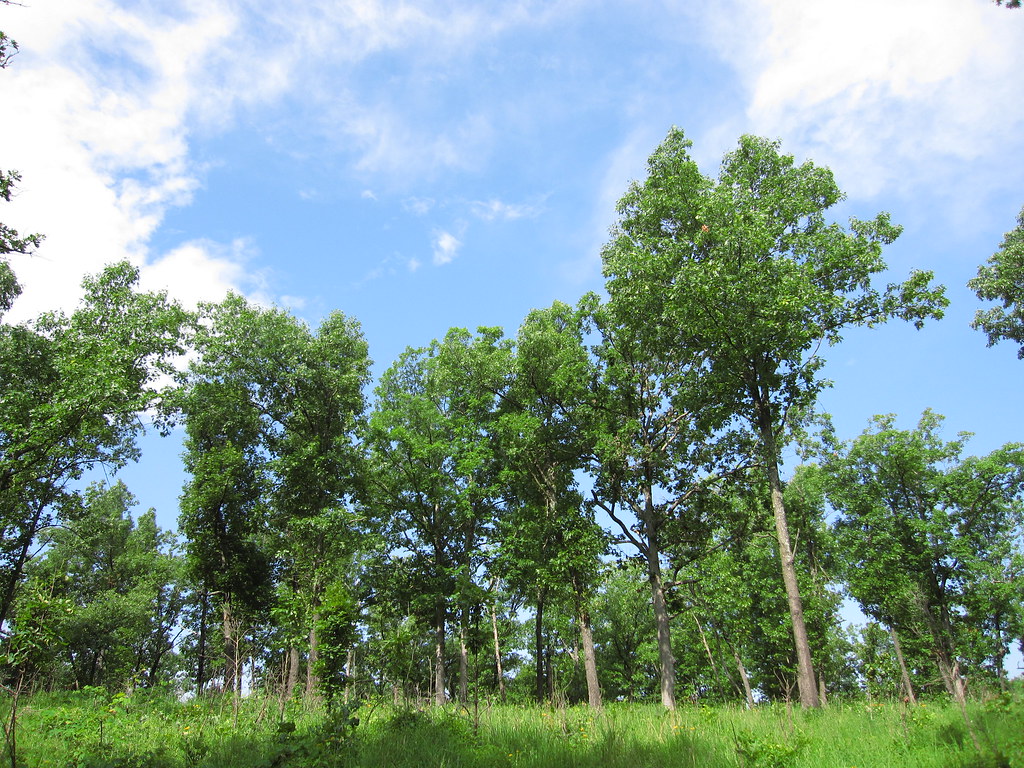 Savanna Ridge TrailHikingPhoto: cm195902, CC BY 2.0 (via Flickr)3.5 mi
- Bridge TrailHikingPhoto: rjones0856, CC BY 2.0 (via Wikimedia Commons)3.6 mi
 Whistle TrailHikingPhoto: Cyote, CC BY-SA 3.0 (via Wikimedia Commons)3.7 mi
- Bennett Spring BranchRiver fishing3.7 mi
- Mountain CreekCanoeing8.7 mi
 Pomme de Terre RiverCanoeingPhoto: Public domain (via Wikimedia Commons)~44 min drive
- Moon Valley AccessBoat launch~3 min drive
 Gasconade RiverCanoeingPhoto: Unknown author, Public domain (via Wikimedia Commons)~54 min drive
- Williams Ford AccessBoat launch~5 min drive
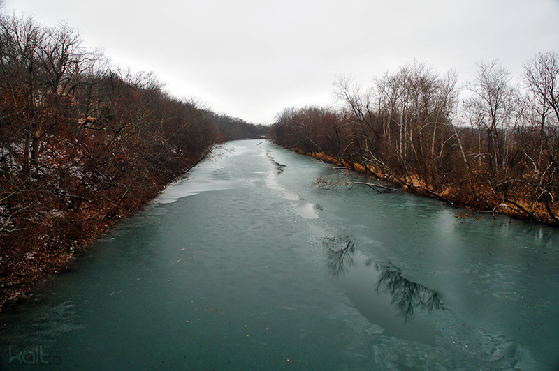 James RiverCanoeingPhoto: Cold417 The original uploader was Cold417 at English Wikipedia., CC BY-SA 3.0 (via Wikimedia Commons)~55 min drive
- Fort NianguaBoat launch~5 min drive
- Mountain CreekCanoeing~15 min drive
- Riverfront CampgroundBoat launch~6 min drive
- Little Niangua RiverCanoeing~26 min drive
- Bennett Springs State Park LandingBoat launch~7 min drive
Conditions and forecast
Clear todayDetails in the tracked factors belowusgs_nwis · checked 16 min agoDaily highs and lows, wind and the chance of precipitation at Start for the next 7 days, from the Open-Meteo model.
Ask about this place
Questions about Niangua River: conditions, access, timing. Answers say when something isn't known.
Local outfitters
- Scooters Rental38 mi away
Not on Roamze yet. Their page has how to reach them.
