Bridge Trail
 Photo: rjones0856, CC BY 2.0 (via Wikimedia Commons)
- 0.5 mi
- round trip
- 287 ft
- climb
- 1,024 ft
- high point
- Out and back
- route
- Mar–Jun, Sep–Nov
- best months
Bridge Trail is a short, easy hike in Missouri, about 0.4 miles from the town of Bennett Springs. The trail is an out-and-back route of roughly 0.9 miles, with a total elevation gain of about 287 feet. The climb is gentle, with the steepest stretch at about 0.29 miles in, where the grade reaches about 11 percent. The trail starts at an elevation of about 962 feet and reaches a high point of about 1,024 feet before returning to the starting level. Spring and fall are the most comfortable times to go. Typical averages from a nearby weather station in Lebanon show October highs around 69°F with lows near 46°F, and May highs around 76°F. That station sits about 220 feet higher than the trail, so temperatures on the trail may run slightly warmer. The Whistle Trail lies just 0.1 mile away, and Bennett Spring Branch, a river fishing spot, is about 0.2 mile off. The Natural Tunnel Trail and Savanna Ridge Trail are both within a mile.
 Whistle TrailHikingPhoto: Cyote, CC BY-SA 3.0 (via Wikimedia Commons)0.1 mi
- Bennett Spring BranchRiver fishing0.2 mi
- Natural Tunnel TrailHikingPhoto: rjones0856, CC BY 2.0 (via Wikimedia Commons)0.5 mi
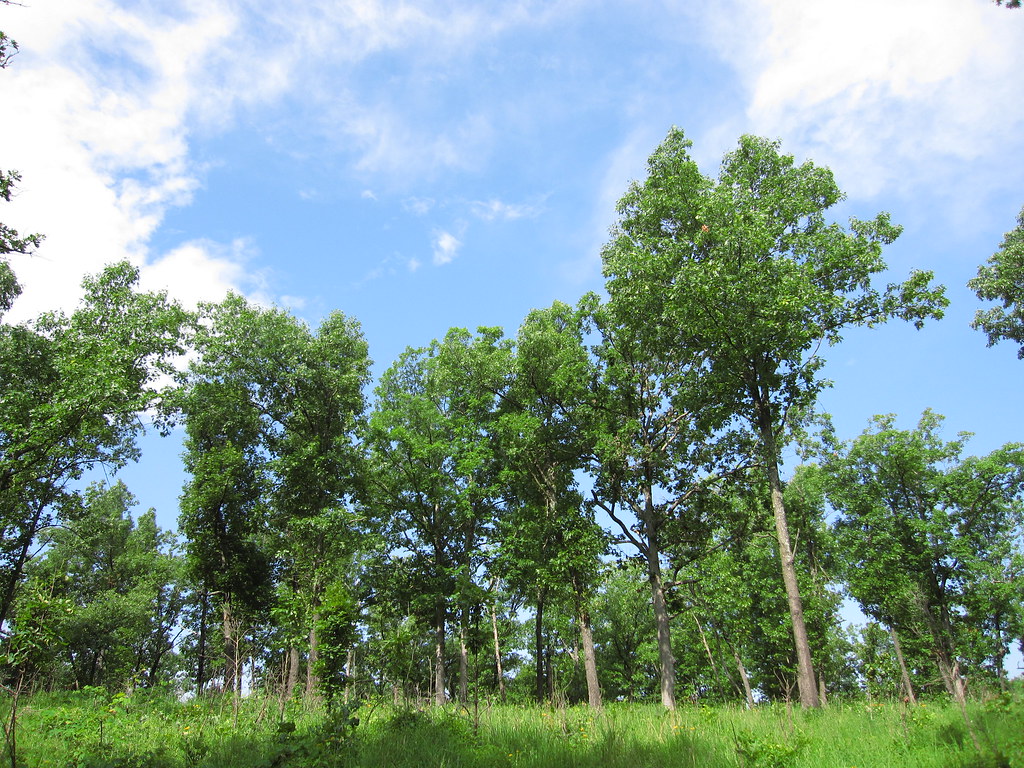 Savanna Ridge TrailHikingPhoto: cm195902, CC BY 2.0 (via Flickr)0.9 mi
- Niangua RiverCanoeing3.6 mi
- Mountain CreekCanoeing5.1 mi
- Mill Pond TrailHiking9.7 mi
Source: Roamze catalog (indexable pages within 10 miles, PostGIS distance)
- Whistle TrailHiking · Next doorPhoto: Cyote, CC BY-SA 3.0 (via Wikimedia Commons)
- Natural Tunnel TrailHiking · Next doorPhoto: rjones0856, CC BY 2.0 (via Wikimedia Commons)
 Turkey Pen Hollow TrailHiking · ~31 min drivePhoto: Log.base, CC BY-SA 4.0 (via Wikimedia Commons)
- Savanna Ridge TrailHiking · ~1 min drivePhoto: cm195902, CC BY 2.0 (via Flickr)
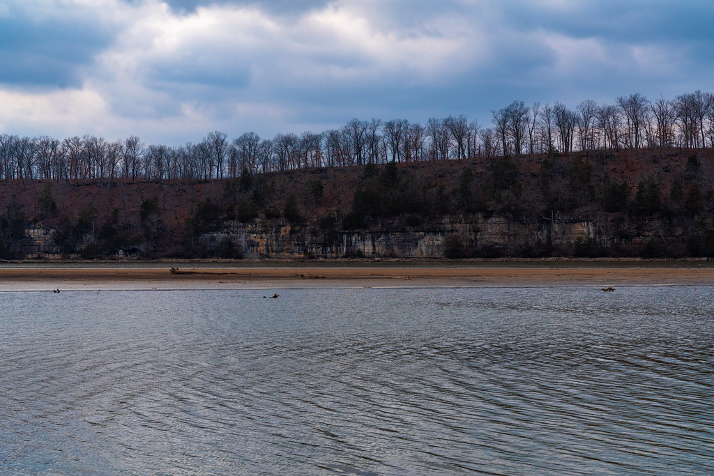 Lake View Bend TrailHiking · ~50 min drivePhoto: Tony Webster, CC BY 2.0 (via Flickr)
- Red TrailHiking · ~18 min drive
 Boulder Ridge TrailHiking · ~30 min drivePhoto: Semipaw, CC BY 3.0 (via Wikimedia Commons)
- Cole Creek Red LoopHiking · ~46 min drive
- Paddy Creek-Big Piney TrailHiking · ~1h 17m drive
 Island TrailHiking · ~31 min drivePhoto: Richard Ricciardi, CC BY 2.0 (via Flickr)
Best time to visit Bridge Trail
Best months: March–June and September–November. Best months have typical highs of 55–85 °F, lows of 30 °F or warmer (32 °F where the station doesn't record snow), at most one snowy day and no more than 12 wet days.
Jan
42° / 22°
7 wet · 1 snow
Feb
48° / 25°
7 wet · 1 snow
Mar
58° / 34°
9 wet
Apr
68° / 44°
10 wet
May
76° / 54°
11 wet
Jun
84° / 63°
9 wet
Jul
88° / 67°
8 wet
Aug
87° / 65°
8 wet
Sep
80° / 57°
7 wet
Oct
69° / 46°
8 wet
Nov
56° / 35°
7 wet
Dec
46° / 26°
6 wet · 1 snow
Typical high / low (°F) and days with rain or snow, 1991–2020. Measured at Lebanon 2w, MO, 9.1 mi away at 1,246 ft. Source: NOAA NCEI U.S. Climate Normals 1991–2020.
