Mud Creek
At a glance
Mud Creek is a 14-mile paddling stretch near Saltillo, Mississippi, within the Natchez Trace Parkway, which the National Park Service manages. The creek is intermittent and may run dry in some seasons, so plan for variable conditions. USGS models average it at about 173 cubic feet per second with a gradient of roughly 5.3 feet per mile. Spring and fall are the most comfortable times to go. Typical averages from a nearby weather station in Tupelo show October highs around 75°F with lows near 52°F, and April highs around 73°F. Midsummer highs typically reach about 90°F. Paddlers can also look to Yonaba Creek, about 3.3 miles away, and Sand Creek, about 3.7 miles away. Hikers have the TU Beech Springs Trail and the TU National Scenic Trail, both about 0.1 mile from the creek.
- distance
- 14.2 mi
- high point
- 316 ft
- best months
- Feb–May, Sep–Nov
Where it is: Natchez Trace Parkway
Near: Tupelo
Best time to visit Mud Creek
Best months: February–May and September–November. Best months have typical highs of 55–85 °F, lows of 30 °F or warmer (32 °F where the station doesn't record snow), at most one snowy day and no more than 12 wet days.
Jan
51°
32°
11 wet
Feb
55°
36°
10 wet
Mar
64°
43°
10 wet
Apr
73°
51°
9 wet
May
81°
60°
9 wet
Jun
87°
68°
9 wet
Jul
90°
72°
9 wet
Aug
90°
71°
8 wet
Sep
85°
63°
6 wet
Oct
75°
52°
7 wet
Nov
63°
41°
8 wet
Dec
54°
35°
10 wet
Typical high / low (°F) and days with rain or snow, 1991–2020. Measured at Tupelo 2, MS, 5.5 mi away at 350 ft. Source: NOAA NCEI U.S. Climate Normals 1991–2020.
Been here? Tell people how it was.
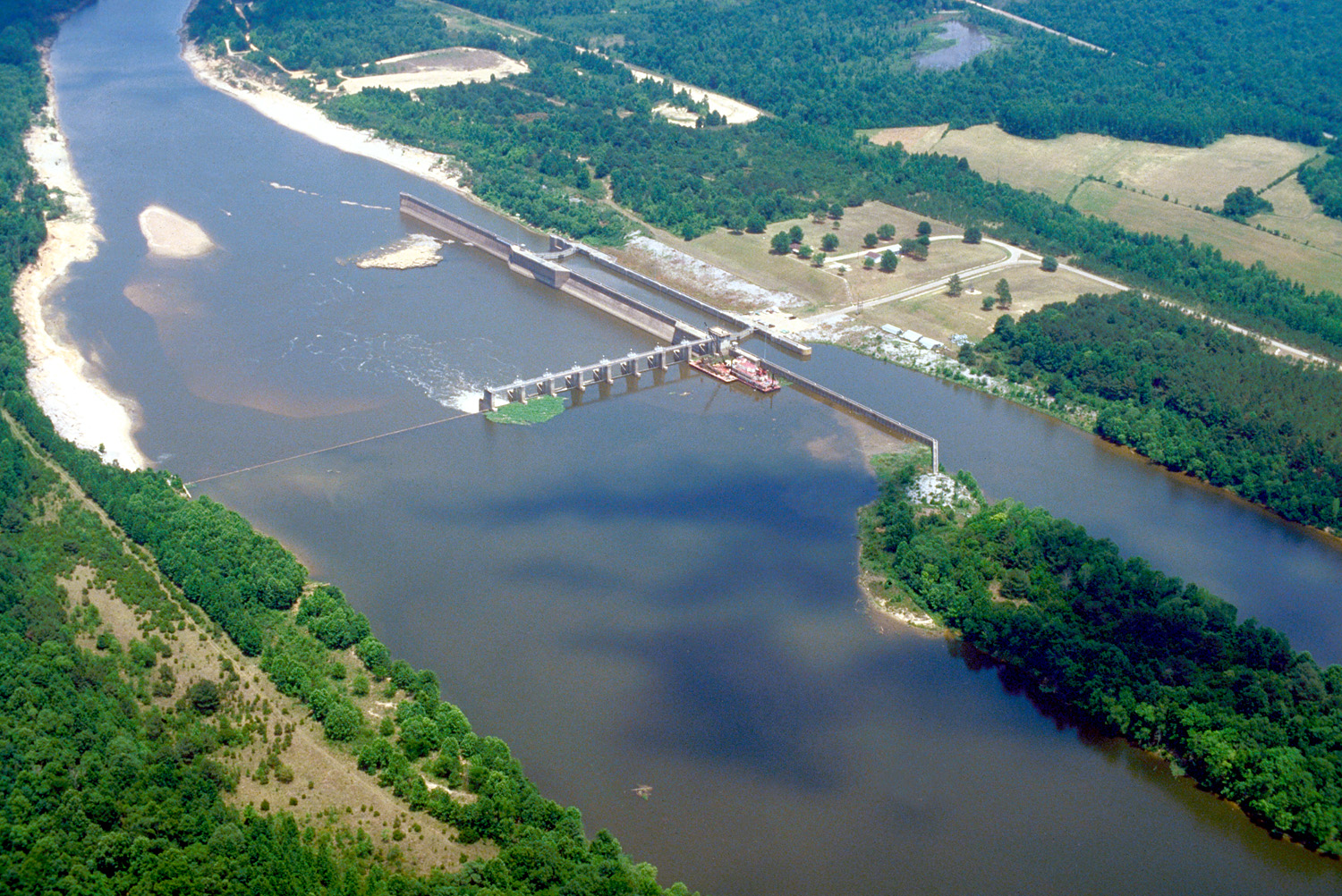 Tombigbee RiverCanoeingPhoto: U.S. Army Corps of Engineers, photographer not specified or unknown, Public domain (via Wikimedia Commons)~28 min drive
- Old Highway 78 Boat RampBoat launch~28 min drive
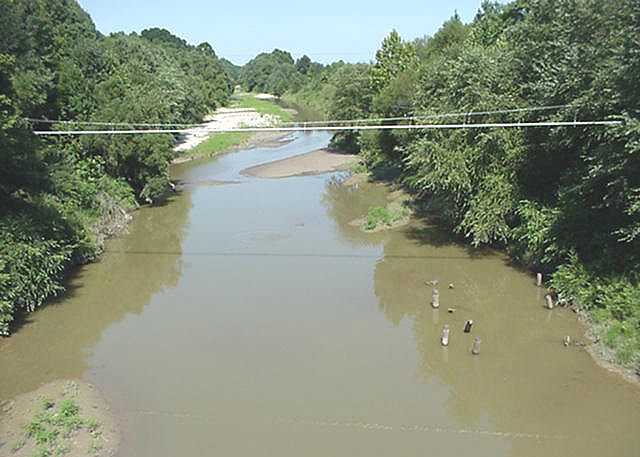 Skuna RiverCanoeingPhoto: NOAA employee, Public domain (via Wikimedia Commons)~44 min drive
- Fulton Boat RampBoat launch~29 min drive
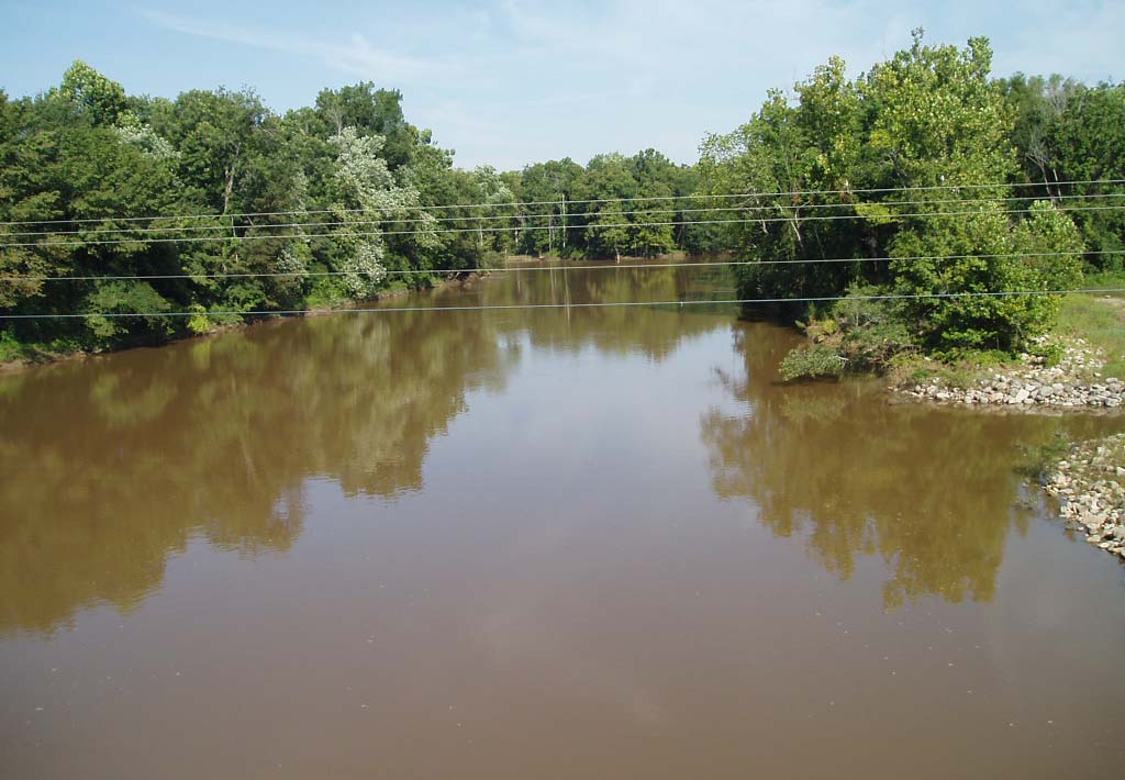 Hatchie RiverCanoeingPhoto: noaa.gov, Public domain (via Wikimedia Commons)~45 min drive
- Walker's Levee Boat RampBoat launch~32 min drive
- Yonaba CreekCanoeing~6 min drive
- Ironwood Bluff Boat RampBoat launch~39 min drive
- Sand CreekCanoeing~6 min drive
- Smithville Boat RampBoat launch~42 min drive
Also worth it near here
- Whitten ParkLake fishing~29 min drive
 Davis Lake Rec AreaCampingPhoto: Fredlyfish4, CC BY-SA 4.0 (via Wikimedia Commons)~40 min drive
 Bear Creek TrailHikingPhoto: MichaelGras, CC BY 2.0 (via Flickr)~1h drive
 Saddle Back Ridge TrailMountain bikingPhoto: Fredlyfish4, CC BY-SA 4.0 (via Wikimedia Commons)~1h 1m drive
Conditions and forecast
Daily highs and lows, wind and the chance of precipitation at Start for the next 7 days, from the Open-Meteo model.
Ask about this place
Questions about Mud Creek: conditions, access, timing. Answers say when something isn't known.
