Middle Fork Kentucky River
At a glance
The Middle Fork Kentucky River is a paddling route in Kentucky's Daniel Boone National Forest, within the Redbird Ranger District. The Forest Service manages the land, and the paddling lies about a quarter mile from the center of the forest's Redbird Ranger District. Spring and fall are the most comfortable times to paddle. Typical averages from a nearby weather station at Buckhorn Lake show April and October highs around 70°F with lows in the low 40s, while July highs reach about 87°F and January lows dip to about 24°F. That station sits roughly 550 feet lower than the river, so temperatures on the water run cooler. Several other outdoor spots sit within a short drive. Tantrough Branch Trail is about 3 miles away, Leatherwood Trail and Moonshiner's Hollow Trail are each just under 4 miles out, and Trace Branch Campground is about 5 miles off for anyone planning an overnight trip.
- distance
- 0.2 mi
- high point
- 1,329 ft
- best months
- Mar–Jun, Aug–Nov
Where it is: Redbird Ranger District · Daniel Boone National Forest
Near: Hazard
Best time to visit Middle Fork Kentucky River
Best months: March–June and August–November. Best months have typical highs of 55–85 °F, lows of 30 °F or warmer (32 °F where the station doesn't record snow), at most one snowy day and no more than 12 wet days.
Jan
44°
24°
Feb
49°
27°
Mar
59°
32°
Apr
70°
41°
May
78°
52°
Jun
84°
61°
Jul
87°
65°
Aug
85°
64°
Sep
80°
58°
Oct
70°
45°
Nov
58°
34°
Dec
49°
28°
Typical high / low (°F) and days with rain or snow, 1991–2020. Measured at Buckhorn Lake, KY, 6.1 mi away at 780 ft. The station sits about 500 ft lower than this place, so expect it a little cooler here. This station doesn't record snowfall. Source: NOAA NCEI U.S. Climate Normals 1991–2020.
Been here? Tell people how it was.
 Laurel RiverCanoeingPhoto: George Green, U.S. Army Corps of Engineers, Public domain (via Wikimedia Commons)~55 min drive
- Upper Wolfe Creek RampBoat launch~26 min drive
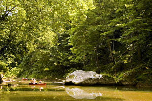 Red RiverCanoeingPhoto: Seicer at English Wikipedia, CC BY 2.5 (via Wikimedia Commons)~60 min drive
- Fish Creek RampBoat launch~35 min drive
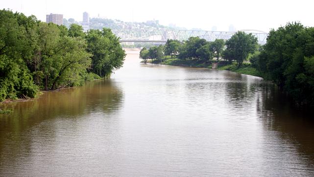 Licking RiverCanoeingPhoto: Rdikeman at English Wikipedia, CC BY-SA 3.0 (via Wikimedia Commons)~1h 2m drive
- Beatyville RampBoat launch~44 min drive
- Collins ForkCanoeing~39 min drive
- Wood Creek Boat RampBoat launch~1h 8m drive
- South Fork Rockcastle RiverCanoeing~47 min drive
- Laurel Bridge Boat RampBoat launch~1h 11m drive
Conditions and forecast
Caution todayAgency alerts are in effect for this areaUSFS, usgs_nwis · checked 5 min agoDaily highs and lows, wind and the chance of precipitation at Start for the next 7 days, from the Open-Meteo model.
Ask about this place
Questions about Middle Fork Kentucky River: conditions, access, timing. Answers say when something isn't known.
