Upper Wolfe Creek Ramp
- Apr–Jun, Aug–Nov
- best months
Caution today
Agency alerts are in effect for this area; weather is good · USFS, OpenWeather · checked 9 h ago
Is Upper Wolfe Creek Ramp open right now?
Closure in the area
There's a closure order in Daniel Boone National Forest. It doesn't name Upper Wolfe Creek Ramp, so check the source for the area it covers (2 listed).
National Visitor Use Monitoring, Oct 2026-Sept 2027
Agency closure covering Daniel Boone National Forest · USFS · Daniel Boone National Forest
Scott Creek Boat ramp briefly inaccessible, July 30
Agency closure covering Daniel Boone National Forest · USFS · Daniel Boone National Forest
Low water levels at Laurel River Lake
Agency alert covering Daniel Boone National Forest · USFS · Daniel Boone National Forest
Active logging operations near Redbird Crest Trail Sections 17-19
Agency alert covering Daniel Boone National Forest · USFS · Daniel Boone National Forest
Cliffside Trail #519 Closure
Agency alert covering Daniel Boone National Forest · USFS · Daniel Boone National Forest
As of · Source: USFS · Daniel Boone National Forest. Agencies don't list every closure — check before you go.
Upper Wolfe Creek Ramp is a boat launch in the Redbird Ranger District of Daniel Boone National Forest in Kentucky, about 5 miles from the town of Booneville. Late spring and early fall offer the mildest weather for a day on the water. Typical averages from a nearby weather station run to highs near 77°F in May and about 70°F in October, while July highs climb to around 86°F.
 Laurel RiverCanoeing · ~50 min drivePhoto: George Green, U.S. Army Corps of Engineers, Public domain (via Wikimedia Commons)
- Fish Creek RampBoat launch · ~11 min drive
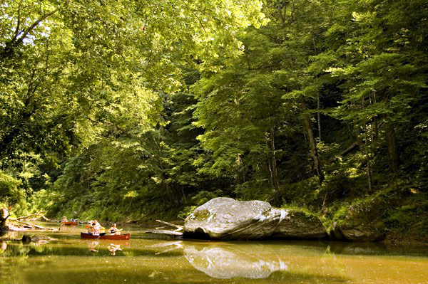 Red RiverCanoeing · ~53 min drivePhoto: Seicer at English Wikipedia, CC BY 2.5 (via Wikimedia Commons)
- Beatyville RampBoat launch · ~21 min drive
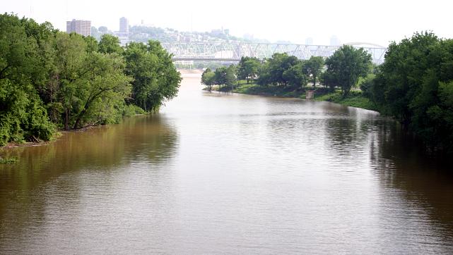 Licking RiverCanoeing · ~1h 12m drivePhoto: Rdikeman at English Wikipedia, CC BY-SA 3.0 (via Wikimedia Commons)
- Big Branch Canoe LaunchBoat launch · ~51 min drive
- Middle Fork Kentucky RiverCanoeing · ~26 min drive
- Wilderness Road Canoe LaunchBoat launch · ~53 min drive
- Laurel ForkCanoeing · ~30 min drive
- Wood Creek Boat RampBoat launch · ~53 min drive
Best time to visit Upper Wolfe Creek Ramp
Best months: April–June and August–November. Best months have typical highs of 55–85 °F, lows of 30 °F or warmer (32 °F where the station doesn't record snow), at most one snowy day and no more than 12 wet days.
Jan
44° / 23°
Feb
49° / 26°
Mar
58° / 31°
Apr
69° / 40°
May
77° / 50°
Jun
83° / 59°
Jul
86° / 63°
Aug
85° / 62°
Sep
80° / 55°
Oct
70° / 42°
Nov
58° / 32°
Dec
48° / 27°
Typical high / low (°F) and days with rain or snow, 1991–2020. Measured at Booneville 12sw, KY, 5.8 mi away at 880 ft. This station doesn't record snowfall. Source: NOAA NCEI U.S. Climate Normals 1991–2020.
Map and trail data © OpenStreetMap contributors
