Rock Creek
At a glance
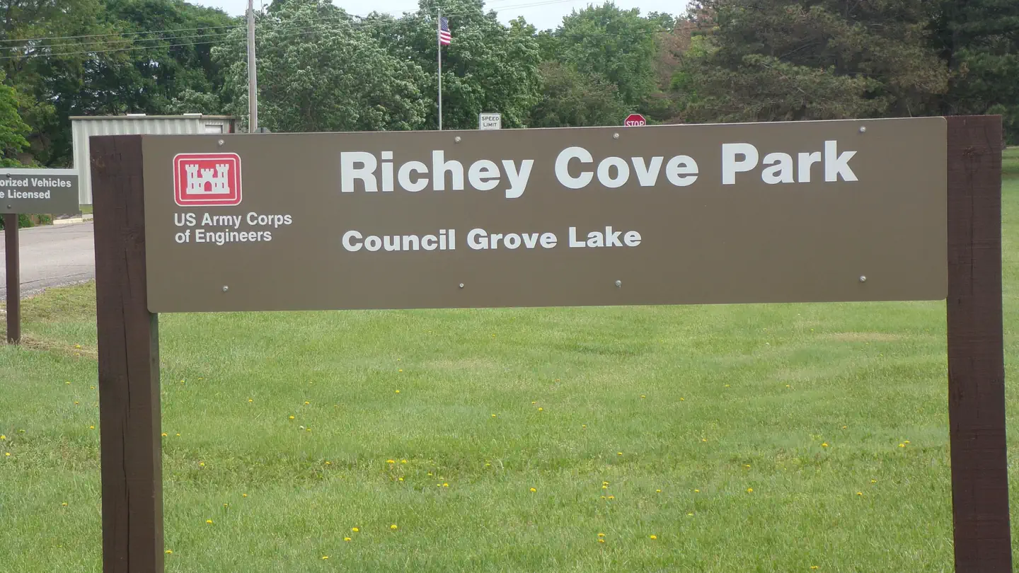
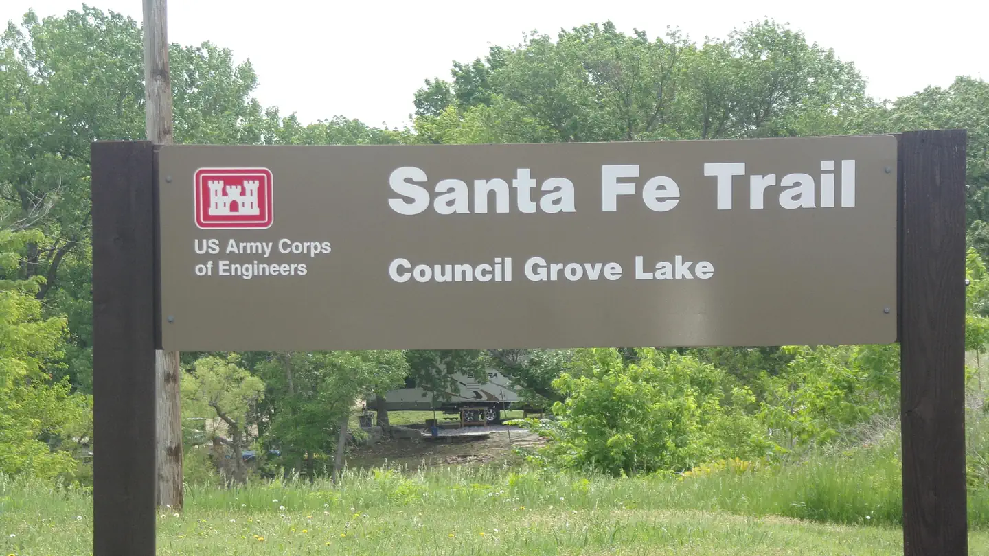
Rock Creek is a canoeing spot in Kansas, about 4.4 miles from the town of Dunlap. It is a paddling destination rather than a trail, so there is no climb or route to plan around, and no route difficulty or distance to measure. Instead, the focus is on getting a canoe or kayak onto the water and paddling through the creek. For comfortable conditions, aim for late spring or early fall. Typical averages from the nearby Council Grove Lake weather station show May highs around 75°F and September highs around 81°F, while July and August average about 90°F. Winter is cold, with January highs near 40°F and lows around 20°F. Two fishing spots sit within easy reach if you want to combine a paddle with a day on the water. Richey Cove is about 8.5 miles away, and the Santa Fe Trail is about 9.3 miles away, both offering lake fishing.
- distance
- 17.9 mi
- high point
- 1,318 ft
- best months
- Mar–Jun, Sep–Nov
Near: Council Grove
Best time to visit Rock Creek
Best months: March–June and September–November. Best months have typical highs of 55–85 °F, lows of 30 °F or warmer (32 °F where the station doesn't record snow), at most one snowy day and no more than 12 wet days.
Jan
40°
20°
5 wet · 2 snow
Feb
45°
23°
5 wet · 2 snow
Mar
56°
33°
7 wet · 1 snow
Apr
66°
44°
10 wet
May
75°
55°
11 wet
Jun
85°
65°
9 wet
Jul
90°
69°
9 wet
Aug
89°
67°
9 wet
Sep
81°
58°
7 wet
Oct
69°
45°
7 wet
Nov
55°
33°
5 wet · 1 snow
Dec
43°
24°
5 wet · 2 snow
Typical high / low (°F) and days with rain or snow, 1991–2020. Measured at Council Grove Lake, KS, 8.4 mi away at 1,315 ft. Source: NOAA NCEI U.S. Climate Normals 1991–2020.
Been here? Tell people how it was.
 Verdigris RiverCanoeingPhoto: Kmusser, CC BY-SA 3.0 (via Wikimedia Commons)~1h 3m drive
- Boggs LandingBoat launch~1h 5m drive
 Wakarusa RiverCanoeingPhoto: Slothus, CC BY-SA 3.0 (via Wikimedia Commons)~1h 8m drive
- Stockdale ParkBoat launch~1h 23m drive
 Republican RiverCanoeingPhoto: J.G. Connor (submitted to USGS by Steve Blanchard, OSW), Public domain (via Wikimedia Commons)~1h 12m drive
- OgdenBoat launch~1h 3m drive
 Marais des Cygnes RiverCanoeingPhoto: John LaRoe, CC BY-SA 3.0 (via Wikimedia Commons)~1h 13m drive
- Blue River Access RampBoat launch~1h 7m drive
 Big Blue RiverCanoeingPhoto: Kgwo1972 at English Wikipedia, Public domain (via Wikimedia Commons)~1h 16m drive
- Allen CreekCanoeing~19 min drive
Conditions and forecast
Clear todayDetails in the tracked factors belowusgs_nwis · checked 20 min agoDaily highs and lows, wind and the chance of precipitation at Start for the next 7 days, from the Open-Meteo model.
Ask about this place
Questions about Rock Creek: conditions, access, timing. Answers say when something isn't known.
