Apple River
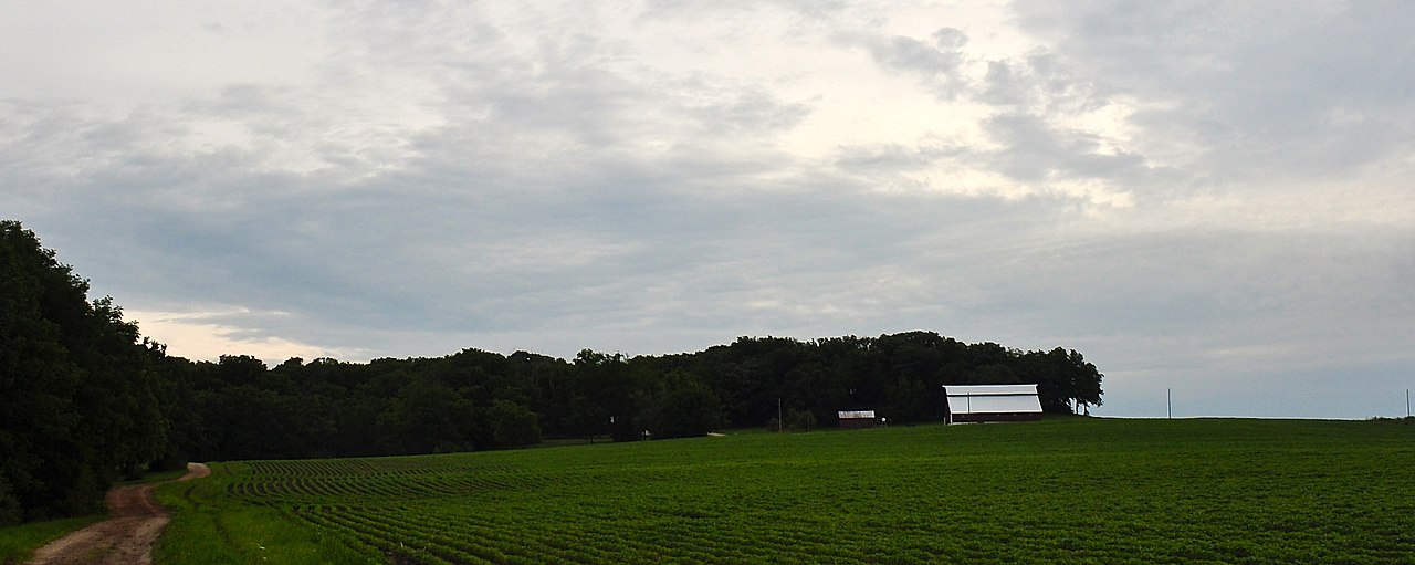
 Photo: IvoShandor, CC BY-SA 3.0 (via Wikimedia Commons)
At a glance
Apple River is a 18-mile paddling stretch in northern Illinois, about 3 miles from the town of Millville. The river flows year-round, and USGS models put its average flow at about 163 cubic feet per second with a gradient of about 15.9 feet per mile. Late spring through early fall is the most comfortable time to paddle. Typical averages from a nearby weather station in Stockton show highs around 71°F in May and 74°F in September, with July peaking near 82°F. Winters are cold, with January highs averaging about 28°F and several snowy days each month from December through February. For more paddling close by, Mill Creek lies about 6 miles away.
- distance
- 18.4 mi
- high point
- 970 ft
- best months
- Apr, Jun–Oct
Near: Dubuque
Best time to visit Apple River
Best months: April and June–October. Best months have typical highs of 55–85 °F, lows of 30 °F or warmer (32 °F where the station doesn't record snow), at most one snowy day and no more than 12 wet days.
Jan
28°
12°
9 wet · 6 snow
Feb
32°
16°
8 wet · 6 snow
Mar
45°
27°
10 wet · 3 snow
Apr
59°
37°
12 wet · 1 snow
May
71°
49°
13 wet
Jun
79°
59°
11 wet
Jul
82°
61°
10 wet
Aug
80°
59°
10 wet
Sep
74°
51°
9 wet
Oct
61°
40°
9 wet
Nov
46°
29°
9 wet · 2 snow
Dec
33°
18°
9 wet · 5 snow
Typical high / low (°F) and days with rain or snow, 1991–2020. Measured at Stockton 3 Nne, IL, 7 mi away at 970 ft. Source: NOAA NCEI U.S. Climate Normals 1991–2020.
Been here? Tell people how it was.
 Galena RiverCanoeingPhoto: IvoShandor, CC BY-SA 3.0 (via Wikimedia Commons)~35 min drive
- Damascus Boat LaunchBoat launch~36 min drive
 Grant RiverCanoeingPhoto: Tony Webster from Minneapolis, Minnesota, CC BY-SA 2.0 (via Wikimedia Commons)~1h 16m drive
- Canoe LandingBoat launch~39 min drive
 Pine CreekCanoeingPhoto: IvoShandor, CC BY 2.5 (via Wikimedia Commons)~1h 16m drive
- Massey Marina Boat RampBoat launch~42 min drive
- Mill CreekCanoeing~10 min drive
- North Boat RampBoat launch~45 min drive
- Rush CreekCanoeing~24 min drive
- River Street RampBoat launch~45 min drive
Conditions and forecast
Daily highs and lows, wind and the chance of precipitation at Start for the next 7 days, from the Open-Meteo model.
Ask about this place
Questions about Apple River: conditions, access, timing. Answers say when something isn't known.
