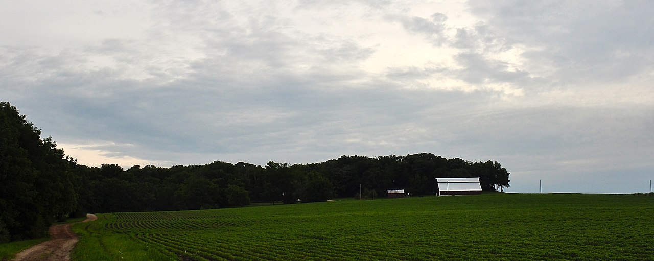
Mill Creek
- 10.5 mi
- distance
- 821 ft
- high point
- Apr–Oct
- best months
Clear at last check
Weather is good · OpenWeather · checked 17 h ago
Mill Creek is a 10-mile paddling stretch near Scales Mound, Illinois, about half a mile from the small community of Schapville. The creek flows year-round, with USGS models estimating an average flow of about 43 cubic feet per second and a gradient of about 17.6 feet per mile. Paddlers can plan on a fairly steady current. Summer brings the warmest conditions, with typical July highs around 83°F and lows near 61°F at a nearby weather station in Elizabeth, while May and September are milder, with highs around 70°F and 75°F. Winters are cold, with January highs averaging about 28°F. The Apple River, another paddling route, lies about 6 miles away. Winston's Boulder, a climbing area, is roughly 5.5 miles off.
- Winston's BoulderRock climbing5.5 mi
 Apple RiverCanoeingPhoto: IvoShandor, CC BY-SA 3.0 (via Wikimedia Commons)6.1 mi
Source: Roamze catalog (indexable pages within 10 miles, PostGIS distance)
- Apple RiverCanoeing · ~10 min drivePhoto: IvoShandor, CC BY-SA 3.0 (via Wikimedia Commons)
- Massey Marina Boat RampBoat launch · ~34 min drive
 Galena RiverCanoeing · ~35 min drivePhoto: IvoShandor, CC BY-SA 3.0 (via Wikimedia Commons)
- North Boat RampBoat launch · ~39 min drive
 Grant RiverCanoeing · ~1h 13m drivePhoto: Tony Webster from Minneapolis, Minnesota, CC BY-SA 2.0 (via Wikimedia Commons)
- Catsh Creek Canoe LaunchBoat launch · ~39 min drive
- Rush CreekCanoeing · ~19 min drive
- River Street RampBoat launch · ~39 min drive
- Plum RiverCanoeing · ~28 min drive
- East Dubuque RampBoat launch · ~40 min drive
Best time to visit Mill Creek
Best months: April–October. Best months have typical highs of 55–85 °F, lows of 30 °F or warmer (32 °F where the station doesn't record snow), at most one snowy day and no more than 12 wet days.
Jan
28° / 10°
9 wet
Feb
33° / 14°
8 wet
Mar
45° / 25°
9 wet
Apr
59° / 36°
11 wet
May
70° / 47°
12 wet
Jun
80° / 58°
11 wet
Jul
83° / 61°
10 wet
Aug
81° / 59°
9 wet
Sep
75° / 50°
9 wet
Oct
62° / 39°
9 wet
Nov
47° / 28°
9 wet
Dec
34° / 17°
9 wet
Typical high / low (°F) and days with rain or snow, 1991–2020. Measured at Elizabeth, IL, 6.1 mi away at 675 ft. This station doesn't record snowfall. Source: NOAA NCEI U.S. Climate Normals 1991–2020.