Sutter Creek
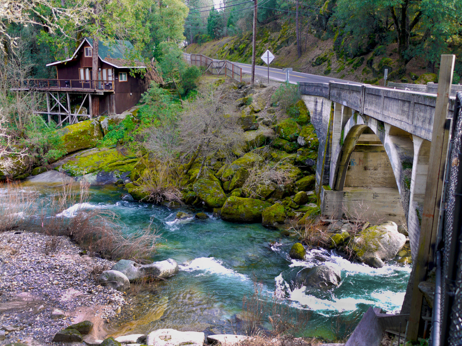
 Photo: Missvain, CC BY 4.0 (via Wikimedia Commons)
At a glance
Sutter Creek is a canoeing spot in California, about 1.3 miles from the town of Sutter Creek. It is a paddling destination rather than a trail, so there is no climb to plan for, and the route is measured in miles of water rather than steps on foot. Spring and fall are the most comfortable times to paddle. Typical averages from a nearby weather station show May highs around 75°F and October highs around 77°F, while July and August average in the low 90s. That station sits about 1,200 feet lower than the creek, so temperatures on the water run cooler. Other paddling is close by at Jackson Creek, about 6 miles away. For time on foot, the Mokelumne Coast to Crest Trail (Hiking Only) and the Lake Tabeaud Loop Trail are both within about 7 miles.
- distance
- 30.8 mi
- high point
- 2,833 ft
- best months
- Oct–May
Near: Sutter Creek · 1.3 mi
Best time to visit Sutter Creek
Best months: October–May. Best months have typical highs of 55–85 °F, lows of 30 °F or warmer (32 °F where the station doesn't record snow), at most one snowy day and no more than 12 wet days.
Jan
55°
39°
Feb
58°
42°
Mar
62°
42°
Apr
67°
45°
May
75°
51°
Jun
86°
57°
Jul
93°
63°
Aug
92°
62°
Sep
87°
59°
Oct
77°
53°
Nov
63°
44°
Dec
55°
39°
Typical high / low (°F) and days with rain or snow, 1991–2020. Measured at Sutter Hill Cdf, CA, 2 mi away at 1,586 ft. The station sits about 1,200 ft lower than this place, so expect it a little cooler here. This station doesn't record snowfall. Source: NOAA NCEI U.S. Climate Normals 1991–2020.
Been here? Tell people how it was.
 Cosumnes RiverCanoeingPhoto: Craig Howell, CC BY 2.0 (via Wikimedia Commons)~47 min drive
- Deer Flat Boat In CampgroundTubing~29 min drive
- West Slab Creek Boat RampBoat launch~44 min drive
 Stanislaus RiverCanoeingPhoto: Michael Nevins, U.S. Army Corps of Engineers, Public domain (via Wikimedia Commons)~50 min drive
- East Slab Creek Boat RampBoat launch~48 min drive
- Jackson CreekCanoeing~10 min drive
- Horse Shoe Shore Lake Access PointBoat launch~49 min drive
- South Fork Cosumnes RiverCanoeing~19 min drive
- Falcon Head Launch PointBoat launch~49 min drive
- North Fork Calaveras RiverCanoeing~20 min drive
Conditions and forecast
Daily highs and lows, wind and the chance of precipitation at Start for the next 7 days, from the Open-Meteo model.

Ask about this place
Questions about Sutter Creek: conditions, access, timing. Answers say when something isn't known.
