
Lostfork Basecamp
Campground
1.3 mi from the trail
 Photo: Jeffrey Beall, CC BY 3.0 (via Wikimedia Commons)
The North Fork South Platte River is a canoeing route in Colorado, running through the South Platte Ranger District of the Pike and San Isabel National Forests. The Forest Service manages the land, and the nearest town is Grant, about a mile away. Summer is the most comfortable time to paddle. Typical averages from the nearby Grant weather station, which sits well below the river, show July highs around 75°F with lows near 43°F. Winter there is cold, with January highs in the mid-30s. Several trails start close by, including Whiteside and Geneva Creek, both about 1.6 miles away, and Burning Bear Campground lies about 4.1 miles off. Michigan Creek, another paddling spot, is roughly 9.6 miles away.
Where it is: South Platte Ranger District · Pike and San Isabel National Forests
Near: Breckenridge
Best months: June and September. Best months have typical highs of 55–85 °F, lows of 30 °F or warmer (32 °F where the station doesn't record snow), at most one snowy day and no more than 12 wet days.
Jan
34°
9°
7 wet
Feb
36°
9°
7 wet
Mar
43°
16°
8 wet
Apr
49°
22°
9 wet
May
59°
30°
10 wet
Jun
70°
38°
9 wet
Jul
75°
43°
14 wet
Aug
72°
42°
15 wet
Sep
66°
35°
9 wet
Oct
54°
25°
6 wet
Nov
42°
16°
6 wet
Dec
33°
9°
7 wet
Typical high / low (°F) and days with rain or snow, 1991–2020. Measured at Grant, CO, 0.6 mi away at 8,675 ft. The station sits about 1,500 ft lower than this place, so expect it a little cooler here. This station doesn't record snowfall. Source: NOAA NCEI U.S. Climate Normals 1991–2020.
Been here? Tell people how it was.
 WhitesideHikingPhoto: jaygannett, CC BY-SA 2.0 (via Flickr)1.6 miGeneva CreekHikingPhoto: jaygannett, CC BY-SA 2.0 (via Flickr)1.6 mi
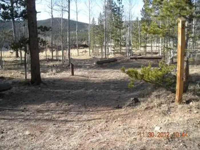 Timberline CampgroundCampingPhoto: Recreation.gov (RIDB) / public domain4.2 mi
 Mt. Evans - mixed, couloirsRock climbingPhoto: regexman, CC BY 2.0 (via Flickr)9.4 mi
 Geneva CreekCanoeingPhoto: Plazak, CC BY-SA 3.0 (via Wikimedia Commons)~9 min drive
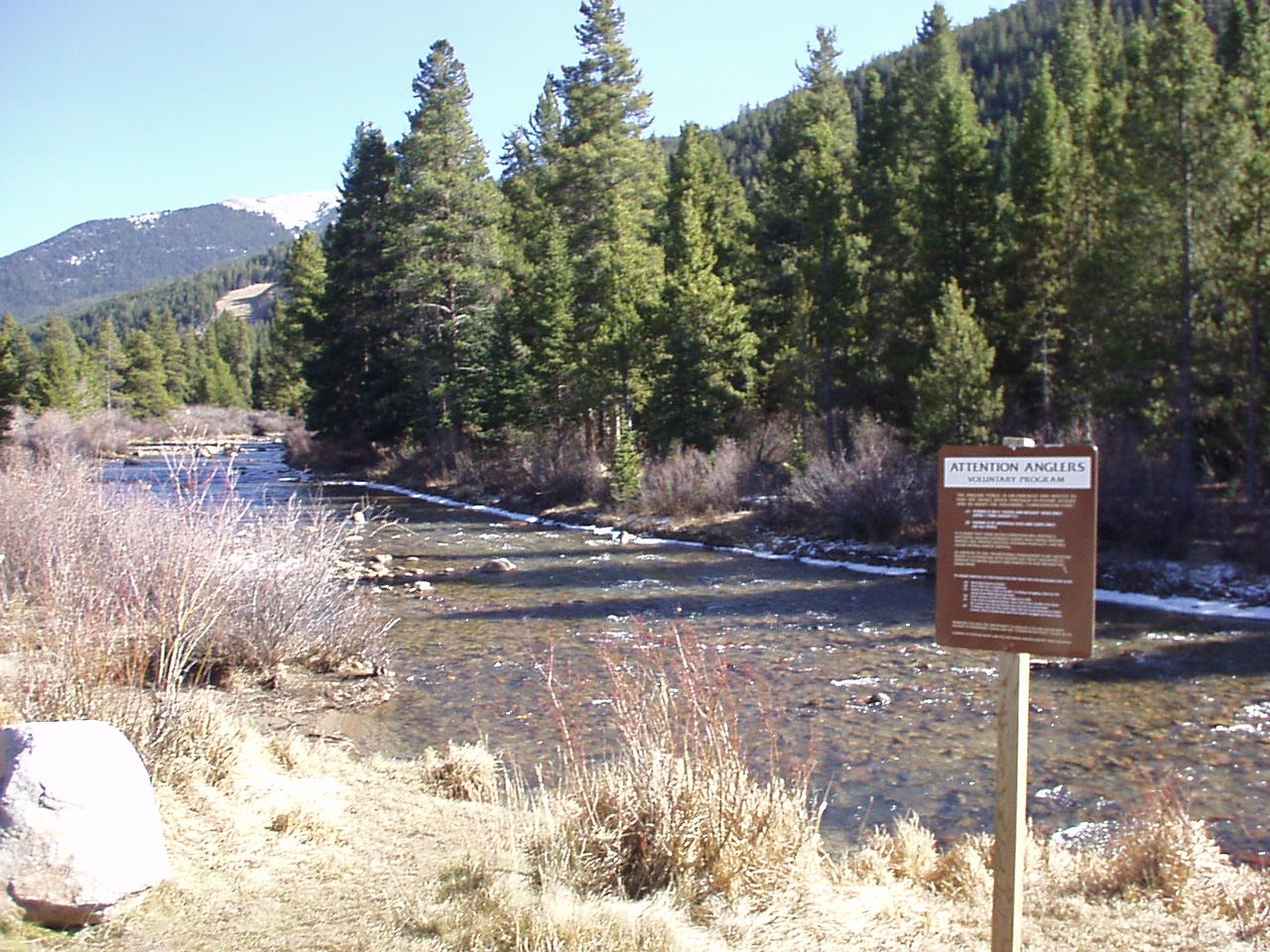 Snake RiverCanoeingPhoto: K.warterbeck, CC BY-SA 3.0 (via Wikimedia Commons)~26 min drive
 Tarryall CreekCanoeingPhoto: Jeffrey Beall, CC BY 3.0 (via Wikimedia Commons)~26 min drive
 Bear CreekCanoeingPhoto: Footwarrior, CC BY-SA 3.0 (via Wikimedia Commons)~39 min drive
 Tenmile CreekCanoeingPhoto: Jeffrey Beall, CC BY 3.0 (via Wikimedia Commons)~41 min drive
Daily highs and lows, wind and the chance of precipitation at Start for the next 7 days, from the Open-Meteo model.
Questions about North Fork South Platte River: conditions, access, timing. Answers say when something isn't known.
Lostfork Basecamp
Campground
 If it rainsUser:Magicpiano, CC BY-SA 4.0 · Wikimedia Commons
Historic house-museum in Georgetown, Colorado, United States
Places © OpenStreetMap contributors, Places © Overture Maps Foundation · Photos: User:Magicpiano, CC BY-SA 4.0 (commons)
More in Idaho SpringsNot on Roamze yet. Their page has how to reach them.
