Tarryall Creek
 Photo: Jeffrey Beall, CC BY 3.0 (via Wikimedia Commons)
- 65.2 mi
- distance
- 11,206 ft
- high point
- Jun–Sep
- best months
Is Tarryall Creek open right now?
Alert in the area
The Forest Service lists 8 alerts for Pike and San Isabel National Forests.
FSR 286, Radical Hill, is closed due to washouts and unsafe conditions
Agency alert covering Pike and San Isabel National Forests · USFS · Pike and San Isabel National Forests
Interlaken Hotel Tree Hazards
Agency alert covering Pike and San Isabel National Forests · USFS · Pike and San Isabel National Forests
National Forest Service Road 8 closure
Agency alert covering South Park Ranger District · Order 02-12-10-26-13 · USFS · South Park Ranger District
Sharpe Fire Update
Agency alert covering Pike and San Isabel National Forests · USFS · Pike and San Isabel National Forests
Turquoise Lake Road (County Road 4) Closure
Agency alert covering Pike and San Isabel National Forests · USFS · Pike and San Isabel National Forests
As of · Source: USFS · Pike and San Isabel National Forests. Agencies don't list every closure — check before you go.
Tarryall Creek is a canoeing route in Colorado's South Park Ranger District, part of the Pike and San Isabel National Forests. The Forest Service manages the land, and the nearest town is Fairplay, about 18 miles away. Summer is the most comfortable time to paddle. Typical averages from a nearby weather station run from highs around 66°F in June to about 71°F in July, with July lows near 42°F. That station sits roughly 1,200 feet below the creek, so temperatures on the water run cooler. Nearby options include the Teepee Trail hike about 3 miles away and the Hot Stepper Boulder and Cro Magnon climbing areas, both about 4 miles out. Lost Park Campground, about 9 miles away, is the closest place to camp.
Local outfitters
- Downstream Adventures36 mi away
- Mt. Princeton RV Park37 mi away
Not on Roamze yet. Their page has how to reach them.
- Teepee TrailHiking3.2 mi
- Hot Stepper BoulderRock climbing4 mi
- Cro MagnonRock climbing4 mi
- Blockage BoulderRock climbing4 mi
- Nate StultzHiking5.2 mi
- Ute CreekHiking7 mi
- colorado trail (segment 5)Mountain biking8.1 mi
- Lost Park CampgroundCamping8.8 mi
Source: Roamze catalog (indexable pages within 10 miles, PostGIS distance)
 North Fork South Platte RiverCanoeing · ~26 min drivePhoto: Jeffrey Beall, CC BY 3.0 (via Wikimedia Commons)
- Lone Rock CampgroundTubing · ~39 min drive
- Number 4 Recreation SiteBoat launch · ~59 min drive
- Bassam Guard StationFloat trip · ~1h 3m drive
 Geneva CreekCanoeing · ~34 min drivePhoto: Plazak, CC BY-SA 3.0 (via Wikimedia Commons)
- Railroad Bridge Recreation Site Boat LaunchBoat launch · ~60 min drive
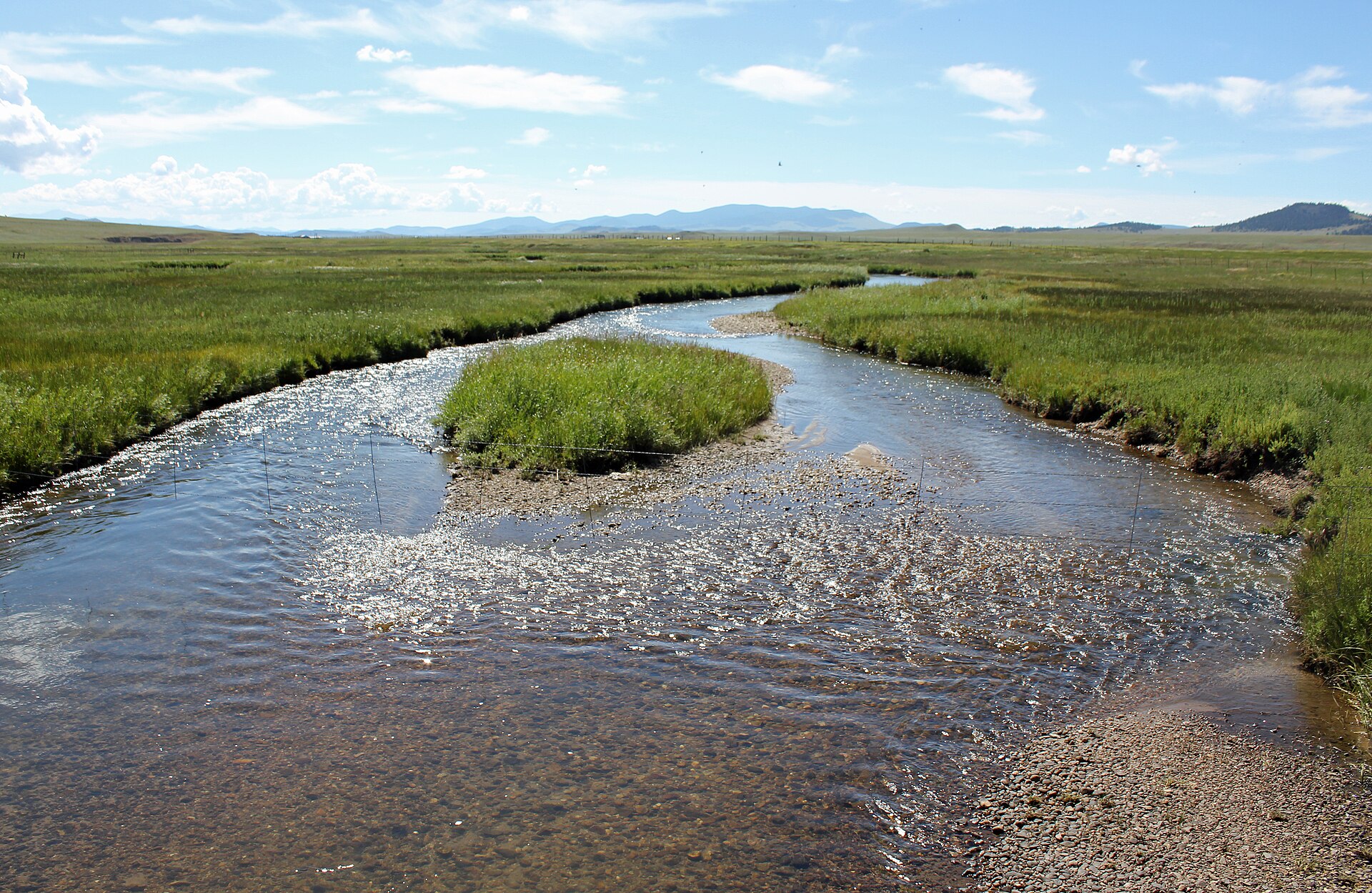 Middle Fork South Platte RiverCanoeing · ~38 min drivePhoto: Jeffrey Beall, CC BY 3.0 (via Wikimedia Commons)
- Matchless Boating SiteBoat launch · ~1h 5m drive
 South Fork South Platte RiverCanoeing · ~40 min drivePhoto: Jeffrey Beall, CC BY 3.0 (via Wikimedia Commons)
- South Boat LaunchBoat launch · ~1h 6m drive
Best time to visit Tarryall Creek
Best months: June–September. Best months have typical highs of 55–85 °F, lows of 30 °F or warmer (32 °F where the station doesn't record snow), at most one snowy day and no more than 12 wet days.
Jan
31° / 10°
Feb
31° / 9°
Mar
38° / 16°
Apr
45° / 22°
May
55° / 29°
Jun
66° / 37°
Jul
71° / 42°
Aug
68° / 41°
Sep
62° / 35°
Oct
51° / 26°
Nov
39° / 17°
Dec
31° / 10°
Typical high / low (°F) and days with rain or snow, 1991–2020. Measured at Fairplay S Park Rd, CO, 18 mi away at 9,995 ft. The station sits about 1,200 ft lower than this place, so expect it a little cooler here. This station doesn't record snowfall. Source: NOAA NCEI U.S. Climate Normals 1991–2020.
