Sixmile Creek
At a glance
Sixmile Creek is a paddling route in Alabama, about 1.3 miles from Thomas Mill and near Brierfield. The run covers roughly 24 miles of creek, a long stretch that suits a full day on the water or a trip broken into shorter sections. The creek flows year-round, with an average flow of about 133 cubic feet per second and a gradient of about 10 feet per mile. That drop gives the current a steady push downstream along the length of the run. Spring and fall offer the most comfortable paddling weather. Typical averages from a nearby weather station at Centreville show October highs around 76°F and April highs around 75°F. Summer is markedly hotter, with July highs near 91°F. If you want time on foot as well, several trails sit within about nine miles. The closest are Fullman Trail, roughly 7 miles away, and Piper Trail, about 8 miles out. Loblolly Trail and Ridge Trail lie a little farther, each around 9 miles away.
- distance
- 24.3 mi
- high point
- 466 ft
- best months
- Oct–May
Near: Alabaster
Best time to visit Sixmile Creek
Best months: October–May. Best months have typical highs of 55–85 °F, lows of 30 °F or warmer (32 °F where the station doesn't record snow), at most one snowy day and no more than 12 wet days.
Jan
55°
32°
10 wet
Feb
59°
35°
9 wet
Mar
68°
40°
9 wet
Apr
75°
47°
8 wet
May
82°
56°
9 wet
Jun
88°
64°
10 wet
Jul
91°
68°
11 wet
Aug
90°
67°
10 wet
Sep
86°
61°
7 wet
Oct
76°
50°
7 wet
Nov
65°
38°
8 wet
Dec
57°
34°
10 wet
Typical high / low (°F) and days with rain or snow, 1991–2020. Measured at Centreville 6 Sw, AL, 17.7 mi away at 450 ft. Source: NOAA NCEI U.S. Climate Normals 1991–2020.
Been here? Tell people how it was.
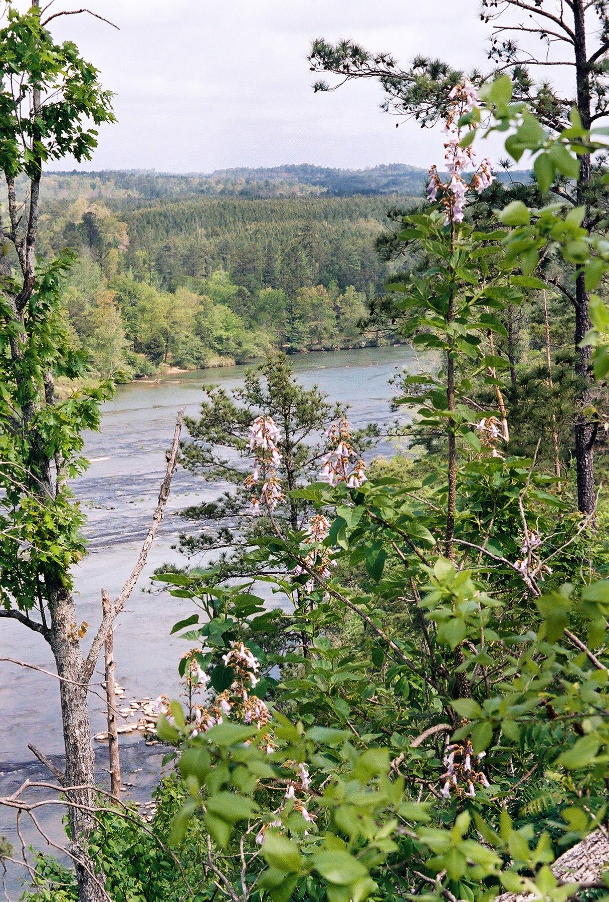 Cahaba RiverCanoeingPhoto: U.S. Fish and Wildlife Service, Public domain (via Wikimedia Commons)~1h 7m drive
- Beeswax Boat LaunchBoat launch~50 min drive
- Watson CreekCanoeing~27 min drive
- Rock Quarry LandingBoat launch~56 min drive
- Buxahatchee CreekCanoeing~28 min drive
- Rock Quarry Park Boat LandingBoat launch~1h 3m drive
- Oakmulgee CreekCanoeing~29 min drive
- Bonners Point Boat RampBoat launch~1h 19m drive
- Yellow Leaf CreekCanoeing~33 min drive
- Prairie Creek Boat Ramp & DockBoat launch~1h 19m drive
Conditions and forecast
Daily highs and lows, wind and the chance of precipitation at Start for the next 7 days, from the Open-Meteo model.


Ask about this place
Questions about Sixmile Creek: conditions, access, timing. Answers say when something isn't known.
