Prairie Creek Boat Ramp & Dock
- Oct–May
- best months
Prairie Creek Boat Ramp & Dock is a boat launch in Alabama managed by the Army Corps of Engineers, about 3.6 miles from the town of Benton. It sits right beside Prairie Creek, which offers river fishing just 0.2 miles away, making it an easy stop for anglers and paddlers heading out on the water. Spring and fall are the most comfortable times to visit. Typical averages from a nearby weather station in Selma show October highs around 78°F with lows near 52°F and only about six wet days, while July and August average highs near 91°F. Paddlers looking for more water have several options close by. Pilot Creek, about 3.8 miles away, and Buck Creek, roughly 6.7 miles off, are both canoeing spots. Old Town Creek, at about 6.8 miles, is another nearby option.
- Managed by
- Army Corps of Engineers
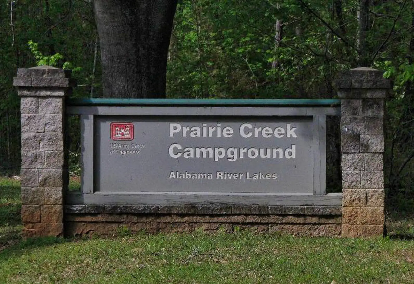 Prairie CreekRiver fishing0.2 mi
- Pilot CreekCanoeing3.8 mi
- Buck CreekCanoeing6.7 mi
- Old Town CreekCanoeing6.8 mi
- Ivy CreekCanoeing8.5 mi
Source: Roamze catalog (indexable pages within 10 miles, PostGIS distance)
- Bonners Point Boat RampBoat launch · ~59 min drive
- Pilot CreekCanoeing · ~7 min drive
- Goldstar Boat RampBoat launch · ~1h 1m drive
- Buck CreekCanoeing · ~11 min drive
- Old Town CreekCanoeing · ~12 min drive
- Ivy CreekCanoeing · ~15 min drive
- Buck CreekCanoeing · ~29 min drive
- Valley CreekCanoeing · ~30 min drive
- Dry Cedar CreekCanoeing · ~30 min drive
- Autauga Creek Canoe TrailCanoeing · ~31 min drive
Best time to visit Prairie Creek Boat Ramp & Dock
Best months: October–May. Best months have typical highs of 55–85 °F, lows of 30 °F or warmer (32 °F where the station doesn't record snow), at most one snowy day and no more than 12 wet days.
Jan
57° / 35°
11 wet
Feb
62° / 38°
10 wet
Mar
69° / 44°
9 wet
Apr
76° / 50°
8 wet
May
84° / 59°
8 wet
Jun
89° / 67°
10 wet
Jul
91° / 71°
11 wet
Aug
91° / 70°
10 wet
Sep
87° / 63°
7 wet
Oct
78° / 52°
6 wet
Nov
67° / 41°
7 wet
Dec
60° / 38°
11 wet
Typical high / low (°F) and days with rain or snow, 1991–2020. Measured at Selma 6 Sse, AL, 12.2 mi away at 157 ft. This station doesn't record snowfall. Source: NOAA NCEI U.S. Climate Normals 1991–2020.
Map and trail data © OpenStreetMap contributors
