Utah · Lake fishing · Kamas
Y-9
Is Y-9 open right now?
Alert in the area
The Forest Service lists 2 alerts for Ashley National Forest.
Anvil Draw Boat Ramp Temporary Closure
Agency alert covering Ashley National Forest · Order 0401-26-01-03 · USFS · Ashley National Forest
Flaming Gorge Reservoir Water Levels
Agency alert covering Ashley National Forest · USFS · Ashley National Forest
As of · Source: USFS · Ashley National Forest. Agencies don't list every closure — check before you go.
Y-9 is a 10-acre pond near Kamas, Utah, at about 11,298 feet. It is managed by the U.S. Forest Service.
- Wilson PeakSummit1.7 mi
- Smith Fork PassHiking2.1 mi
- Nahguch PassHiking2.6 mi
- Little East Fork Blacks Fork TrailHiking2.6 mi
 Scout LakeRock climbingPhoto: John Sowell, CC BY-SA 4.0 (via Wikimedia Commons)2.7 mi
- Picturesque WallRock climbingPhoto: John Sowell, CC BY-SA 4.0 (via Wikimedia Commons)2.7 mi
- Red Castle LakeLake fishing2.8 mi
- Yellowstone CreekCanoeing5.5 mi
Source: Roamze catalog (indexable pages within 10 miles, PostGIS distance)
- Y-19Lake fishing · ~2 min drive
- Doll LakeLake fishing · ~4 min drive
- Red Castle LakeLake fishing · ~5 min drive
- Y-31Lake fishing · ~5 min drive
- Spider LakeLake fishing · ~6 min drive
- Cliff LakeLake fishing · ~7 min drive
- Y-36Lake fishing · ~7 min drive
- Oweep LakeLake fishing · ~7 min drive
- Y-37Lake fishing · ~7 min drive
- Upper Carroll LakeLake fishing · ~10 min drive
Also worth it near here
- Picturesque WallRock climbing · ~5 min drivePhoto: John Sowell, CC BY-SA 4.0 (via Wikimedia Commons)
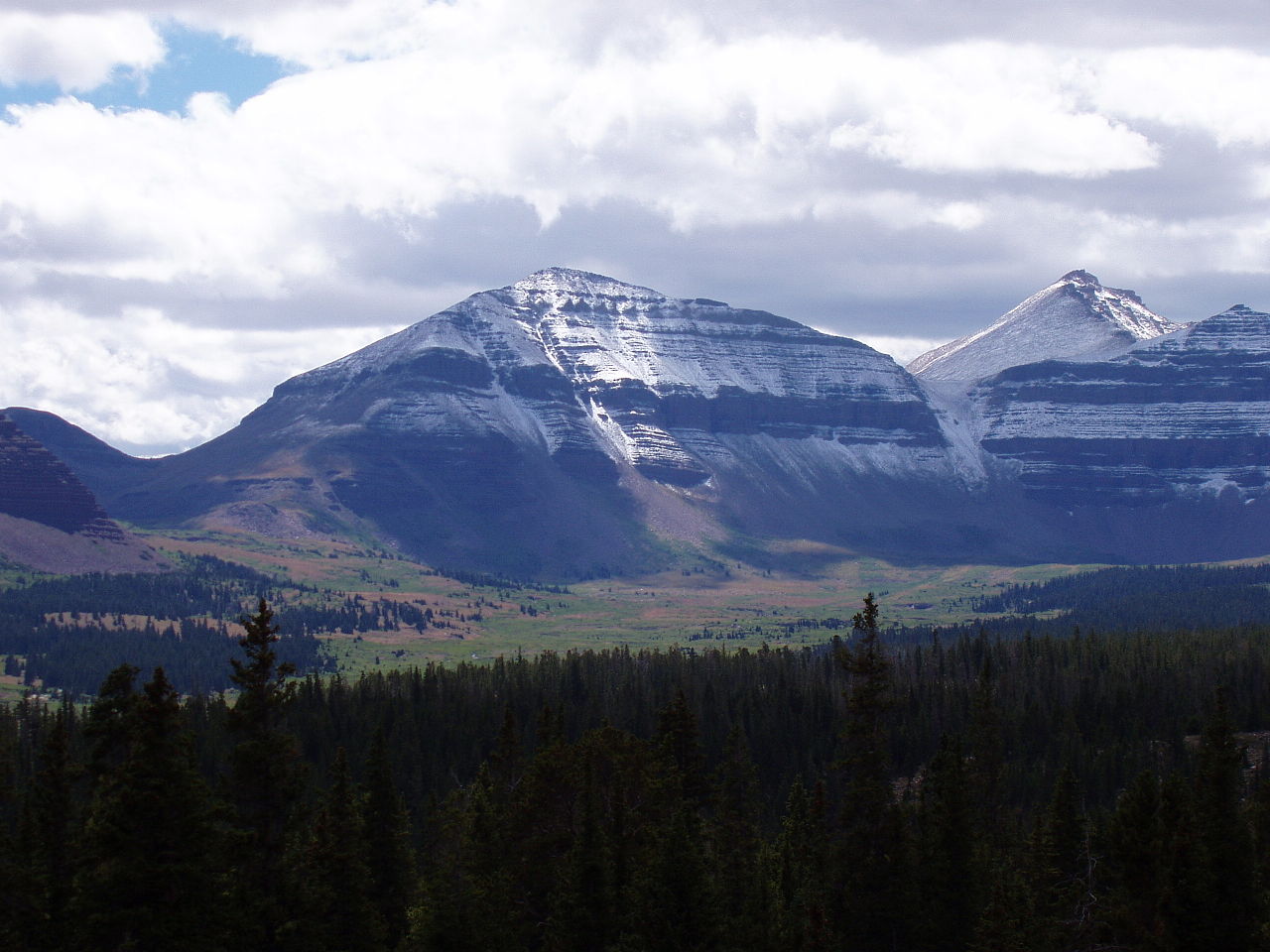 Kings PeakSummit · ~8 min drivePhoto: Hyrum K. Wright, CC BY-SA 3.0 (via Wikimedia Commons)
- Yellowstone CreekCanoeing · ~9 min drive
 GunsightHiking · ~11 min drivePhoto: John Sowell, CC BY-SA 4.0 (via Wikimedia Commons)
- East Fork Blacks Fork GsHut camping · ~17 min drive
Similar waters
Like this spot? Try:

