Grahams Reservoir
- May–Sep
- best months
Is Grahams Reservoir open right now?
No closures listed
The Forest Service lists no closures for Uinta-Wasatch-Cache National Forest.
As of · Source: USFS · Uinta-Wasatch-Cache National Forest. Agencies don't list every closure — check before you go.
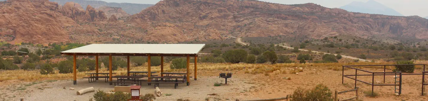
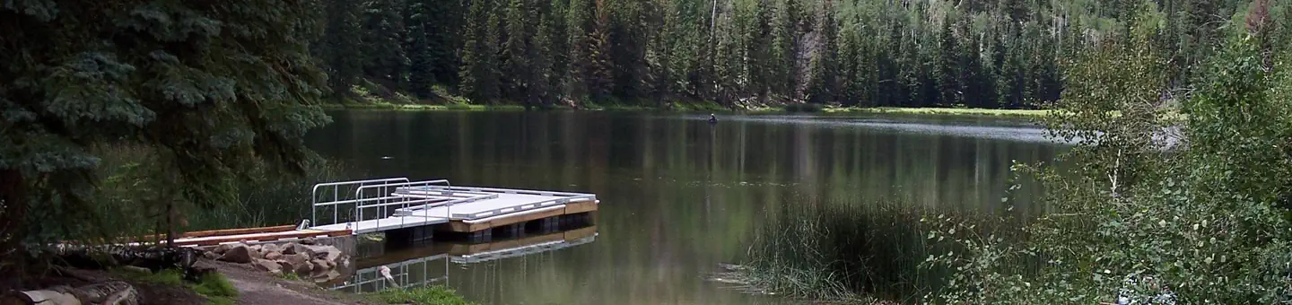
Grahams Reservoir is a 5-acre reservoir near Kamas, Utah, at about 9,252 feet. It is managed by the U.S. Forest Service.
- StatelineCamping0.7 mi
- Sargent Lake BikeHiking1.5 mi
- Bridger LakeCamping1.5 mi
- Sargent Lake B BikeHiking1.6 mi
- Bridger Lake Shore TrailHiking1.8 mi
- Marsh LakeLake fishing2.1 mi
- East Fork Smiths ForkCanoeing2.3 mi
- Marsh Lake CampgroundCamping2.5 mi
Source: Roamze catalog (indexable pages within 10 miles, PostGIS distance)
- Stateline ReservoirLake fishing · ~1 min drive
- DeadhorseRiver fishing · ~6 min drive
- Bridger LakeLake fishing · ~3 min drive
- Henrys ForkRiver fishing · ~11 min drive
- Marsh LakeLake fishing · ~4 min drive
- Hoop LakeRiver fishing · ~26 min drive
- Sargent LakeLake fishing · ~7 min drive
- Kabell LakeRiver fishing · ~28 min drive
- Murray ReservoirLake fishing · ~13 min drive
- Sawmill LakeLake fishing · ~16 min drive
Best time to visit Grahams Reservoir
Best months: May–September. Best months have typical highs of 55–85 °F, lows of 30 °F or warmer (32 °F where the station doesn't record snow), at most one snowy day and no more than 12 wet days.
Jan
31° / 7°
Feb
34° / 12°
Mar
41° / 18°
Apr
49° / 24°
May
59° / 33°
Jun
69° / 40°
Jul
77° / 48°
Aug
77° / 49°
Sep
67° / 41°
Oct
55° / 31°
Nov
40° / 22°
Dec
31° / 11°
Typical high / low (°F) and days with rain or snow, 1991–2020. Measured at Moon Lake, UT, 29.8 mi away at 8,125 ft. The station sits about 1,100 ft lower than this place, so expect it a little cooler here. This station doesn't record snowfall. Source: NOAA NCEI U.S. Climate Normals 1991–2020.