Middle Fork Campground
Campground
0.5 mi from the trail
Natural Bridge is a natural arch in Kentucky's Daniel Boone National Forest, within the Cumberland Ranger District. It sits at about 1,250 feet, roughly 8 miles from the town of Campton. The arch makes an easy anchor for a short outing. Several trails start right around it. Sand Gap Trail - Sheltowee Trace NRT #100 and Laurel Ridge Trail both lie about 0.1 mile away, and Rock Garden Trail is about 0.3 mile off. For an overnight stay, Miguel's Campsite is about 0.8 mile away, and the Natural Bridge Region climbing area is a similar distance. Fall is the most comfortable time to visit. Typical averages from a nearby weather station in Beattyville show October highs around 69°F with lows near 44°F, and September and October bring the fewest wet days of the year. Paddlers can reach the Middle Fork Red River about 1.2 miles away, and Indian Creek Camping Area is about 6 miles off.
Where it is: Cumberland Ranger District · Daniel Boone National Forest
Near: Stanton
Best months: August–November. Best months have typical highs of 55–85 °F, lows of 30 °F or warmer (32 °F where the station doesn't record snow), at most one snowy day and no more than 12 wet days.
Jan
42°
24°
13 wet
Feb
47°
27°
13 wet
Mar
57°
34°
15 wet
Apr
68°
44°
15 wet
May
75°
53°
15 wet
Jun
82°
61°
14 wet
Jul
84°
65°
14 wet
Aug
84°
64°
12 wet
Sep
79°
57°
10 wet
Oct
69°
44°
12 wet
Nov
57°
35°
12 wet
Dec
46°
28°
13 wet
Typical high / low (°F) and days with rain or snow, 1991–2020. Measured at Beattyville 4n, KY, 9.7 mi away at 1,080 ft. This station doesn't record snowfall. Source: NOAA NCEI U.S. Climate Normals 1991–2020.
Been here? Tell people how it was.
 Sand Gap Trail - Sheltowee Trace NRT #100HikingPhoto: Ken Thomas, Public domain (via Wikimedia Commons)0.1 mi
 Laurel Ridge TrailHikingPhoto: ConspiracyofHappiness, CC BY 2.0 (via Flickr)0.1 mi
 Rock Garden TrailHikingPhoto: enn-here, CC BY 2.0 (via Flickr)0.3 mi
 Natural Bridge RegionRock climbingPhoto: Hyokano, CC BY-SA 2.0 (via Flickr)0.8 mi
 Indian Creek Camping AreaCampingPhoto: Jarek Tuszyński (user:Jarekt), CC BY 3.0 (via Wikimedia Commons)6.1 mi
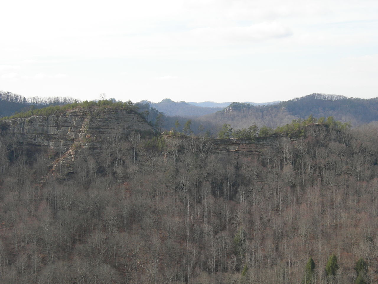 Double ArchNatural archPhoto: Kyryc at English Wikipedia, CC BY-SA 3.0 (via Wikimedia Commons)~8 min drive
Also worth it near here
Daily highs and lows, wind and the chance of precipitation at Natural Bridge for the next 7 days, from the Open-Meteo model.
Questions about Natural Bridge: conditions, access, timing. Answers say when something isn't known.
Middle Fork Campground
Campground
Wolfe County Cooperative Extension Service
Museum
Places © OpenStreetMap contributors, Places © Overture Maps Foundation
More in Stanton