Miguel's Campsite
Campground
Campground · 2.8 mi from the trail
Closure in the area
There's a closure order in Daniel Boone National Forest. It doesn't name South Fork Twin Arches, so check the source for the area it covers (2 listed).
National Visitor Use Monitoring, Oct 2026-Sept 2027
Agency closure covering Daniel Boone National Forest · USFS · Daniel Boone National Forest
Scott Creek Boat ramp briefly inaccessible, July 30
Agency closure covering Daniel Boone National Forest · USFS · Daniel Boone National Forest
Low water levels at Laurel River Lake
Agency alert covering Daniel Boone National Forest · USFS · Daniel Boone National Forest
Active logging operations near Redbird Crest Trail Sections 17-19
Agency alert covering Daniel Boone National Forest · USFS · Daniel Boone National Forest
Cliffside Trail #519 Closure
Agency alert covering Daniel Boone National Forest · USFS · Daniel Boone National Forest
As of · Source: USFS · Daniel Boone National Forest. Agencies don't list every closure — check before you go.
South Fork Twin Arches is a natural arch in the Cumberland Ranger District of Daniel Boone National Forest in Kentucky, about 8 miles from the town of Stanton. It sits at roughly 1,200 feet of elevation. Fall is the most comfortable time to visit. Typical averages from a nearby weather station in Beattyville show October highs around 69°F with lows near 44°F, and September and October bring the fewest wet days of the year. The Middle Fork Red River, a canoeing route, lies about 2 miles away. Sand Gap Trail and Hood's Branch Trail are both within about 2.3 miles, and Miguel's Campsite is about 2.8 miles off for an overnight stay.
Miguel's Campsite
Campground
Lunch Bucket
Comfort food restaurant
Wolfe County Cooperative Extension Service
Museum
Places © OpenStreetMap contributors, Places © Overture Maps Foundation
More in StantonElevation from USGS 3D Elevation Program terrain data (about 10 m resolution).
 Sand Gap TrailHikingPhoto: Ken Thomas, Public domain (via Wikimedia Commons)2 mi
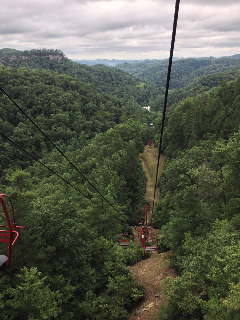 Hood's Branch TrailHikingPhoto: bill.ingram, CC BY 2.0 (via Flickr)2.3 mi
 Star Gap TrailHikingPhoto: Beeblebrox, CC BY-SA 3.0 (via Wikimedia Commons)2.8 mi
 Indian Creek Camping AreaCampingPhoto: Jarek Tuszyński (user:Jarekt), CC BY 3.0 (via Wikimedia Commons)5.3 mi
Source: Roamze catalog (indexable pages within 10 miles, PostGIS distance)
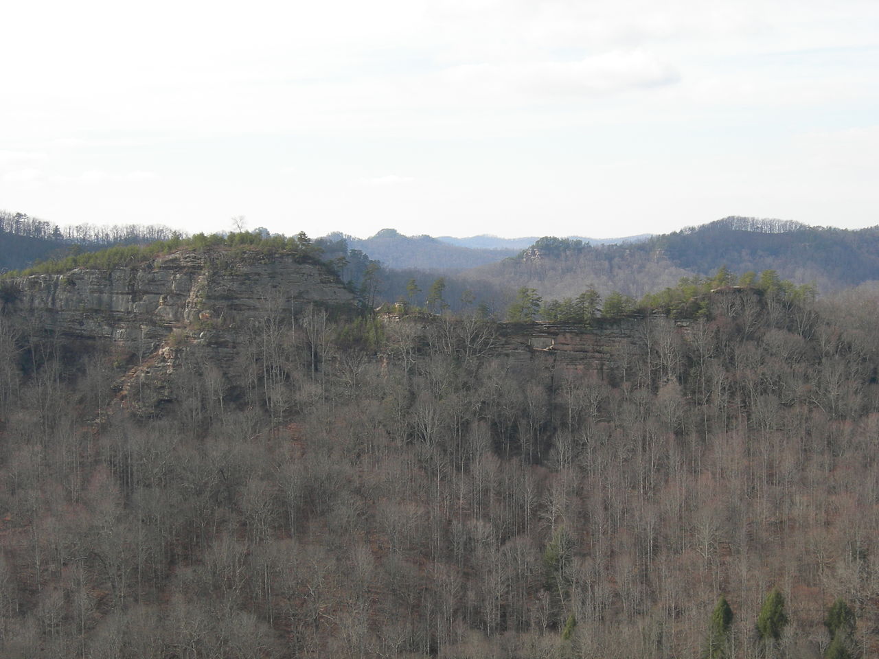 Double ArchNatural arch · ~6 min drivePhoto: Kyryc at English Wikipedia, CC BY-SA 3.0 (via Wikimedia Commons)
Also worth it near here
Sand Gap TrailHiking · ~3 min drivePhoto: Ken Thomas, Public domain (via Wikimedia Commons) Natural Bridge RegionRock climbing · ~6 min drivePhoto: Hyokano, CC BY-SA 2.0 (via Flickr)Indian Creek Camping AreaCamping · ~9 min drivePhoto: Jarek Tuszyński (user:Jarekt), CC BY 3.0 (via Wikimedia Commons)
Best months: August–November. Best months have typical highs of 55–85 °F, lows of 30 °F or warmer (32 °F where the station doesn't record snow), at most one snowy day and no more than 12 wet days.
Jan
42° / 24°
13 wet
Feb
47° / 27°
13 wet
Mar
57° / 34°
15 wet
Apr
68° / 44°
15 wet
May
75° / 53°
15 wet
Jun
82° / 61°
14 wet
Jul
84° / 65°
14 wet
Aug
84° / 64°
12 wet
Sep
79° / 57°
10 wet
Oct
69° / 44°
12 wet
Nov
57° / 35°
12 wet
Dec
46° / 28°
13 wet
Typical high / low (°F) and days with rain or snow, 1991–2020. Measured at Beattyville 4n, KY, 11.3 mi away at 1,080 ft. This station doesn't record snowfall. Source: NOAA NCEI U.S. Climate Normals 1991–2020.
