Mount Nonotuck
 Photo: Louis Everts, Public domain (via Wikimedia Commons)
At a glance
Mount Nonotuck is a summit in western Massachusetts, rising to 832 feet about 2.8 miles from the town of Easthampton. It sits within a cluster of trails, with several routes starting within a couple of miles, making it an easy addition to a day spent exploring the surrounding area. For comfortable weather, late spring and early fall are the best bets. Typical averages from a nearby weather station in Amherst show May highs around 69°F and September highs around 74°F, with July the warmest month at about 83°F. That station sits roughly 700 feet lower than the summit, so temperatures on top run cooler. The closest trails are the Bray Loop Trail, about 0.9 miles away, and the Dry Brook Trail, about 1.3 miles away. The Thermopylae hike and its mountain biking access are each about 1.6 miles off. Paddlers can reach the Mill River, about 6.3 miles away, and anglers can head to the Connecticut River, about 6.5 miles away.
- summit
- 832 ft
- best months
- Apr–Oct
Near: Easthampton · 2.8 mi
Best time to visit Mount Nonotuck
Best months: April–October. Best months have typical highs of 55–85 °F, lows of 30 °F or warmer (32 °F where the station doesn't record snow), at most one snowy day and no more than 12 wet days.
Jan
34°
14°
11 wet
Feb
37°
15°
9 wet
Mar
45°
24°
10 wet
Apr
58°
34°
11 wet
May
69°
45°
12 wet
Jun
78°
55°
11 wet
Jul
83°
60°
11 wet
Aug
82°
58°
10 wet
Sep
74°
50°
9 wet
Oct
62°
39°
10 wet
Nov
50°
29°
10 wet
Dec
39°
21°
11 wet
Typical high / low (°F) and days with rain or snow, 1991–2020. Measured at Amherst, MA, 8.5 mi away at 145 ft. The station sits about 700 ft lower than this place, so expect it a little cooler here. This station doesn't record snowfall. Source: NOAA NCEI U.S. Climate Normals 1991–2020.
Been here? Tell people how it was.
We don't know of a mapped trail or route to the summit of Mount Nonotuck. Plan the approach with local maps, a guidebook or a local guide, and check conditions before you go.
- Mount Warner517 ft · Massachusetts1 route7.5 mi away
 Quabbin Hill1,025 ft · Massachusetts2 routes15 mi awayPhoto: Pi.1415926535, CC BY-SA 4.0 (via Wikimedia Commons)
- Moore Hill1,700 ft · Massachusetts1 route15 mi away
- Gobble Mountain1,684 ft · Massachusetts1 route19 mi away
- Perkins Mountain989 ft · Connecticut2 routes21 mi away
 Peaked Mountain1,217 ft · Massachusetts2 routes22 mi awayPhoto: John Phelan, CC BY-SA 3.0 (via Wikimedia Commons)
- Bray Loop TrailHiking0.9 mi
- Dry Brook TrailHiking1.3 mi
- ThermopylaeHiking1.6 mi
- Thermopylae AccessMountain biking1.6 mi
- Mill RiverCanoeing6.3 mi
- Connecticut RiverRiver fishing6.5 mi
 Manhan RiverCanoeingPhoto: John Phelan, CC BY 4.0 (via Wikimedia Commons)7.6 mi
 Fort RiverCanoeingPhoto: Ktr101, CC BY-SA 4.0 (via Wikimedia Commons)9 mi
 Mount HolyokeSummitPhoto: Thomas Cole, Public domain (via Wikimedia Commons)~4 min drive
 Mount TomSummitPhoto: Creator:Thomas Charles Farrer, Public domain (via Wikimedia Commons)~5 min drive
 Bare MountainSummitPhoto: Paul Gagnon, CC BY 3.0 (via Wikimedia Commons)~8 min drive
- Mount NorwottockSummitPhoto: Paul Gagnon, CC BY 3.0 (via Wikimedia Commons)~10 min drive
 Long MountainSummitPhoto: Original uploader was 5ju989nfhs50 at en.wikipedia, CC BY 3.0 (via Wikimedia Commons)~12 min drive
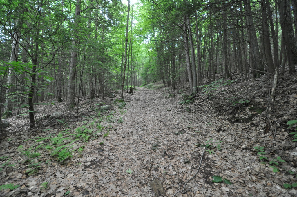 Petticoat HillSummitPhoto: User:Magicpiano, CC BY-SA 4.0 (via Wikimedia Commons)~16 min drive
 Bull HillSummitPhoto: John Phelan, CC BY 4.0 (via Wikimedia Commons)~22 min drive
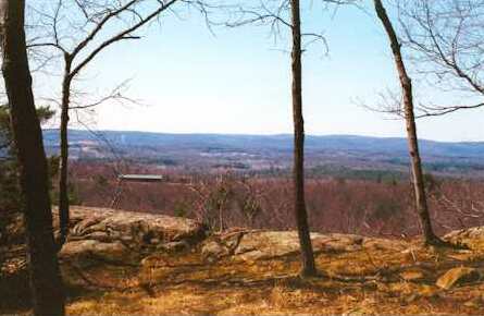 Provin MountainSummitPhoto: 5ju989nfhs50 at English Wikipedia, CC BY 3.0 (via Wikimedia Commons)~24 min drive
- Quabbin HillSummitPhoto: Pi.1415926535, CC BY-SA 4.0 (via Wikimedia Commons)~25 min drive
 Mount TobySummitPhoto: Jrclark at English Wikipedia, CC BY 3.0 (via Wikimedia Commons)~26 min drive
Conditions and forecast
Daily highs and lows, wind and the chance of precipitation at the summit for the next 7 days, from the Open-Meteo model.
Questions about Mount Nonotuck
How tall is Mount Nonotuck?
832 ft (254 m).
Is there a trail to the top of Mount Nonotuck?
We don't know of a mapped trail or route to the summit. Plan the approach with local maps, a guidebook or a local guide.

Ask about this place
Questions about Mount Nonotuck: conditions, access, timing. Answers say when something isn't known.
