

Guanella Pass Scenic Byway
Campground
3.7 mi from the trail
The Mount Evans Scenic Byway is a 27-mile drive in Colorado's Arapaho and Roosevelt National Forests, within the Clear Creek Ranger District. The route passes through Idaho Springs, and the Forest Service manages the land along the way. Summer is the most comfortable time to drive it. Typical averages from a nearby weather station at Cabin Creek, at about 10,000 feet, show July highs around 69°F with lows near 46°F, while winter highs stay around freezing. The byway makes a natural base for a longer stay. Echo Lake Campground sits right along the route, and the Mount Warren and Rogers Peak hikes start within a short distance. Climbers can head to the Mt. Evans climbing area, also close to the road.
Where it is: Clear Creek Ranger District · Arapaho and Roosevelt National Forests
Near: Lakewood
Blocked at last check
A road serving this area is closed; agency alerts are in effect for this area; weather is good · USFS, State DOT 511, OpenWeather · checked 21 h ago
Road closed
CO 5/Mount Blue Sky Road: road closure is listed as closed by CDOT 511.
CO 5/Mount Blue Sky Road: road closure
Closed · ~0.0 km from Mount Evans Scenic Byway · CDOT 511
Fire Restrictions
Agency alert covering Arapaho and Roosevelt National Forests · USFS · Arapaho and Roosevelt National Forests
Slater Lake Area Closure
Agency alert covering Clear Creek Ranger District · Order 02-10-07-26-03 · USFS · Clear Creek Ranger District
Area Closure Surrounding the Devils Nose Target Range
Agency alert covering Clear Creek Ranger District · Order 02-10-07-26-01 · USFS · Clear Creek Ranger District
As of · Source: CDOT 511. Agencies don't list every closure — check before you go.
Best months: June and September. Best months have typical highs of 55–85 °F, lows of 30 °F or warmer (32 °F where the station doesn't record snow), at most one snowy day and no more than 12 wet days.
Jan
32°
12°
8 wet
Feb
31°
11°
8 wet
Mar
38°
17°
9 wet
Apr
43°
23°
10 wet
May
53°
31°
9 wet
Jun
64°
40°
9 wet
Jul
69°
46°
13 wet
Aug
67°
44°
14 wet
Sep
61°
38°
10 wet
Oct
50°
29°
7 wet
Nov
39°
19°
7 wet
Dec
32°
12°
8 wet
Typical high / low (°F) and days with rain or snow, 1991–2020. Measured at Cabin Creek, CO, 5.8 mi away at 10,020 ft. We don't have this place's elevation, so higher spots nearby can run cooler. This station doesn't record snowfall. Source: NOAA NCEI U.S. Climate Normals 1991–2020.
Been here? Tell people how it was.
 Echo Lake CampgroundCampingPhoto: squeaks2569 — CC BY-SA 2.0 (via Flickr)0.1 mi
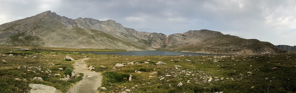 Mount WarrenHikingPhoto: regexman, CC BY 2.0 (via Flickr)0.1 mi
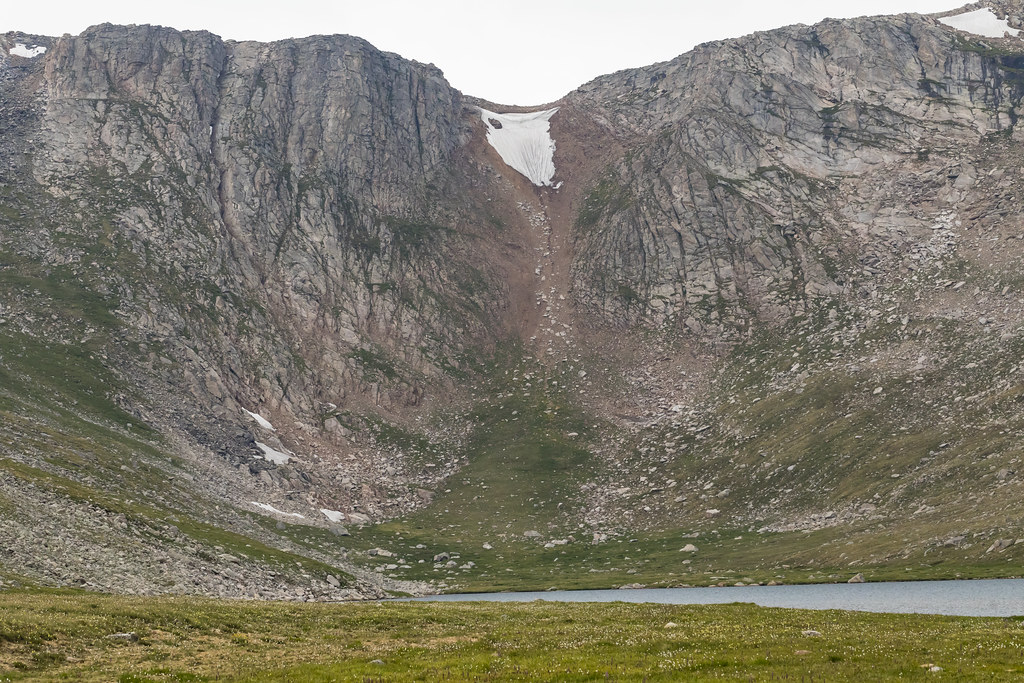 Rogers PeakHikingPhoto: John Game, CC BY 2.0 (via Flickr)0.1 mi
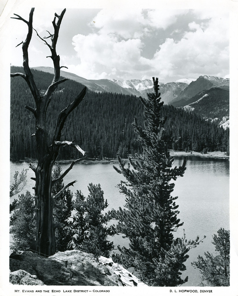 Resthouse Meadows TrailHikingPhoto: waterarchives, CC BY-SA 2.0 (via Flickr)0.1 mi
 Resthouse MeadowsMountain bikingPhoto: Chris Light, CC BY-SA 4.0 (via Wikimedia Commons)0.1 miGray Wolf MountainHikingPhoto: regexman, CC BY 2.0 (via Flickr)0.1 mi
 Mt. Evans - mixed, couloirsRock climbingPhoto: regexman, CC BY 2.0 (via Flickr)0.1 mi
 Mt. EvansRock climbingPhoto: gregor_y, CC BY-SA 2.0 (via Flickr)0.1 mi
 Clear CreekCanoeingPhoto: Ken Gallager at en.wikipedia, Public domain (via Wikimedia Commons)0.6 mi
Daily highs and lows, wind and the chance of precipitation at Mount Evans Scenic Byway for the next 7 days, from the Open-Meteo model.
Questions about Mount Evans Scenic Byway: conditions, access, timing. Answers say when something isn't known.
Guanella Pass Scenic Byway
Campground
 If it rainsUser:Magicpiano, CC BY-SA 4.0 · Wikimedia Commons
Historic house-museum in Georgetown, Colorado, United States
Places © OpenStreetMap contributors · Photos: User:Magicpiano, CC BY-SA 4.0 (commons)
More in Idaho Springs