Wolfe County Dispersed Rec. Sites
Campground
2.7 mi from the trail
 Photo: US Forest Service - Southern Region, Public Domain Mark (via Flickr)
Moonshiner's Wall is a climbing area in Kentucky's Clifty Wilderness, within the Cumberland Ranger District of Daniel Boone National Forest and along the Red River Wild River. The land is managed by the State Department of Conservation, and the wall sits among a cluster of climbing and hiking spots in this corner of the state. The area has five trad routes, with grades ranging from 5.4 to 5.10b. The easiest is Very Disco at 5.4, and the hardest is Oberon at 5.10b. Ten Years After is a 5.5 route with a first ascent from 1981, and Distillery and Texas Eagle are both 5.9. Spring and fall are the most comfortable times to visit. Typical averages from a nearby weather station in Beattyville show May highs around 75°F and October highs near 69°F, while July and August average about 84°F. Hen's Nest Rock and Eastern Sky Bridge Ridge are both about half a mile away, and the Osborne Bend Loop hike starts just 0.3 miles off. For an overnight stay, Menifee County Dispersed Rec. Sites is about 4.7 miles away.
5 routes · 5.4 – 5.10b · Trad
Where it is: Clifty Wilderness · Cumberland Ranger District
Near: Stanton
Best months: August–November. Best months have typical highs of 55–85 °F, lows of 30 °F or warmer (32 °F where the station doesn't record snow), at most one snowy day and no more than 12 wet days.
Jan
42°
24°
13 wet
Feb
47°
27°
13 wet
Mar
57°
34°
15 wet
Apr
68°
44°
15 wet
May
75°
53°
15 wet
Jun
82°
61°
14 wet
Jul
84°
65°
14 wet
Aug
84°
64°
12 wet
Sep
79°
57°
10 wet
Oct
69°
44°
12 wet
Nov
57°
35°
12 wet
Dec
46°
28°
13 wet
Typical high / low (°F) and days with rain or snow, 1991–2020. Measured at Beattyville 4n, KY, 15.1 mi away at 1,080 ft. This station doesn't record snowfall. Source: NOAA NCEI U.S. Climate Normals 1991–2020.
Been here? Tell people how it was.
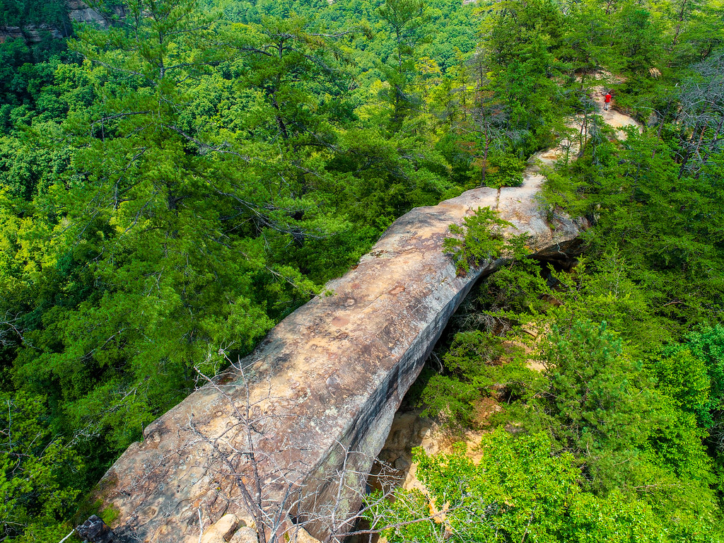 OSBORNE BEND LOOPHikingPhoto: US Forest Service - Southern Region, Public Domain Mark (via Flickr)0.3 mi
 Hen's Nest RockRock climbingPhoto: US Forest Service - Southern Region, Public domain (via Wikimedia Commons)0.5 mi
 Eastern Sky Bridge RidgeRock climbingPhoto: US Forest Service - Southern Region, Public Domain Mark (via Flickr)0.5 mi
 Sky BridgeHikingPhoto: US Forest Service - Southern Region, Public Domain Mark (via Flickr)0.7 mi
 Menifee County Dispersed Rec. SitesCampingPhoto: Jarek Tuszyński (user:Jarekt), CC BY 3.0 (via Wikimedia Commons)4.7 miIndian Creek Camping AreaCampingPhoto: Jarek Tuszyński (user:Jarekt), CC BY 3.0 (via Wikimedia Commons)6.1 miLower Sky Bridge RidgeRock climbingPhoto: US Forest Service - Southern Region, Public Domain Mark (via Flickr)Next doorEastern Sky Bridge RidgeRock climbingPhoto: US Forest Service - Southern Region, Public Domain Mark (via Flickr)Next doorEastern Skybridge RidgeRock climbingPhoto: US Forest Service - Southern Region, Public Domain Mark (via Flickr)~1 min driveBuzzard's RoostRock climbingPhoto: US Forest Service - Southern Region, Public Domain Mark (via Flickr)~1 min drive
 Half MoonRock climbingPhoto: US Forest Service - Southern Region, Public Domain Mark (via Flickr)~4 min drive
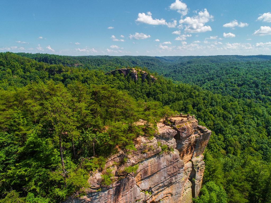 Princess ArchRock climbingPhoto: US Forest Service - Southern Region, Public Domain Mark (via Flickr)~5 min drive
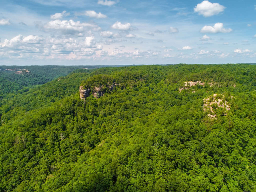 Pinch-em Tight RidgeRock climbingPhoto: US Forest Service - Southern Region, Public Domain Mark (via Flickr)~5 min drive
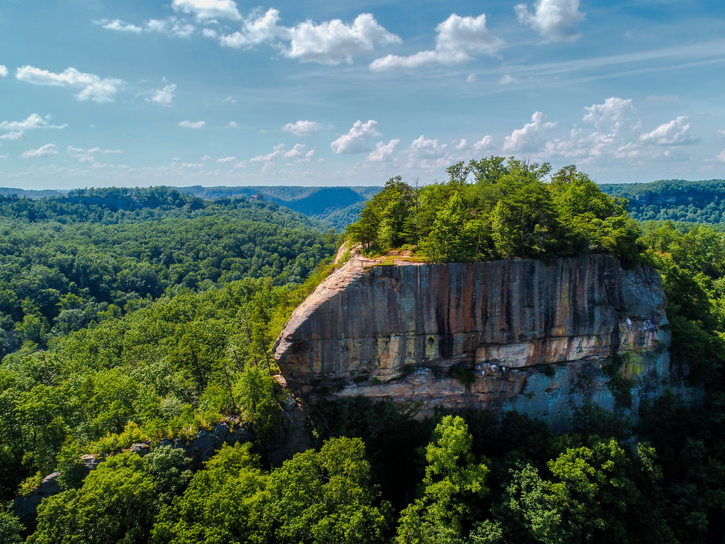 Tarr RidgeRock climbingPhoto: US Forest Service - Southern Region, Public Domain Mark (via Flickr)~8 min drive
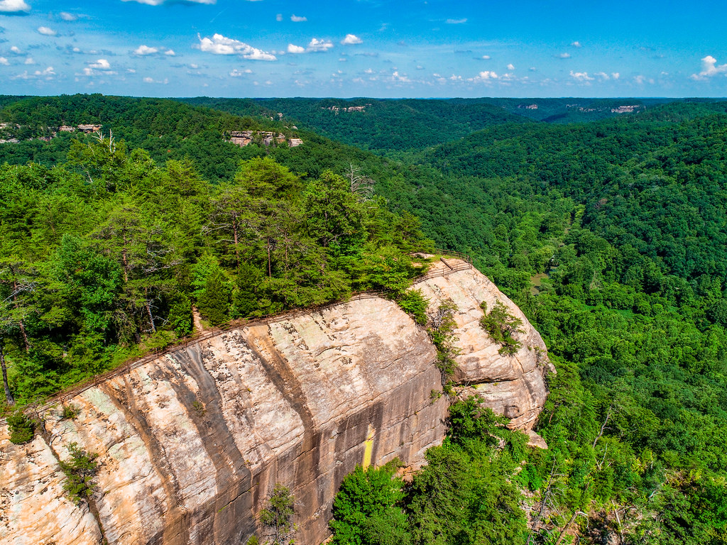 Raven RockRock climbingPhoto: US Forest Service - Southern Region, Public Domain Mark (via Flickr)~9 min drive
 Long WallRock climbingPhoto: US Forest Service - Southern Region, Public Domain Mark (via Flickr)~9 min drive
Daily highs and lows, wind and the chance of precipitation at Moonshiner's Wall for the next 7 days, from the Open-Meteo model.
Questions about Moonshiner's Wall: conditions, access, timing. Answers say when something isn't known.
Wolfe County Dispersed Rec. Sites
Campground
Wolfe County Cooperative Extension Service
Museum
Places © OpenStreetMap contributors
More in Stanton