Monument Basin
 Photo: Peter K., CC BY-SA 3.0 (via Wikimedia Commons)
At a glance
Monument Basin is a climbing area in Canyonlands National Park in Utah, managed by the National Park Service. It sits within the park's land, and a fee is charged for access. Spring and fall are the most comfortable times to visit. Typical averages from a nearby weather station show May highs around 77°F and October highs around 70°F, while July averages about 95°F and January highs sit near 42°F. The area has six trad routes, with grades ranging from 5.9+ to 5.11c. Among them are Meemohive, Dottyback Deamo Daydream and The Regular Route. Several hikes lie close by, including Grand View Rim and Grand View Point Overlook and Trail, both about 0.8 miles away, and White Rim Overlook Trail at about 1.6 miles. Climbers can also look to Southeast Utah, about 4.1 miles away.
6 routes · 5.9+ – 5.11c · Trad
- best months
- Mar–May, Sep–Oct
Where it is: Canyonlands National Park
Near: Moab
Best time to visit Monument Basin
Best months: March–May and September–October. Best months have typical highs of 55–85 °F, lows of 30 °F or warmer (32 °F where the station doesn't record snow), at most one snowy day and no more than 12 wet days.
Jan
42°
17°
4 wet · 2 snow
Feb
49°
23°
4 wet · 1 snow
Mar
59°
30°
5 wet · 1 snow
Apr
67°
36°
5 wet
May
77°
46°
4 wet
Jun
89°
56°
3 wet
Jul
95°
63°
5 wet
Aug
92°
61°
6 wet
Sep
84°
51°
5 wet
Oct
70°
38°
5 wet
Nov
55°
26°
4 wet · 1 snow
Dec
42°
18°
4 wet · 2 snow
Typical high / low (°F) and days with rain or snow, 1991–2020. Measured at Canyonlands-The Needles, UT, 10.4 mi away at 4,906 ft. Source: NOAA NCEI U.S. Climate Normals 1991–2020.
Been here? Tell people how it was.
- Grand View RimHikingPhoto: Peter K., CC BY-SA 3.0 (via Wikimedia Commons)0.8 mi
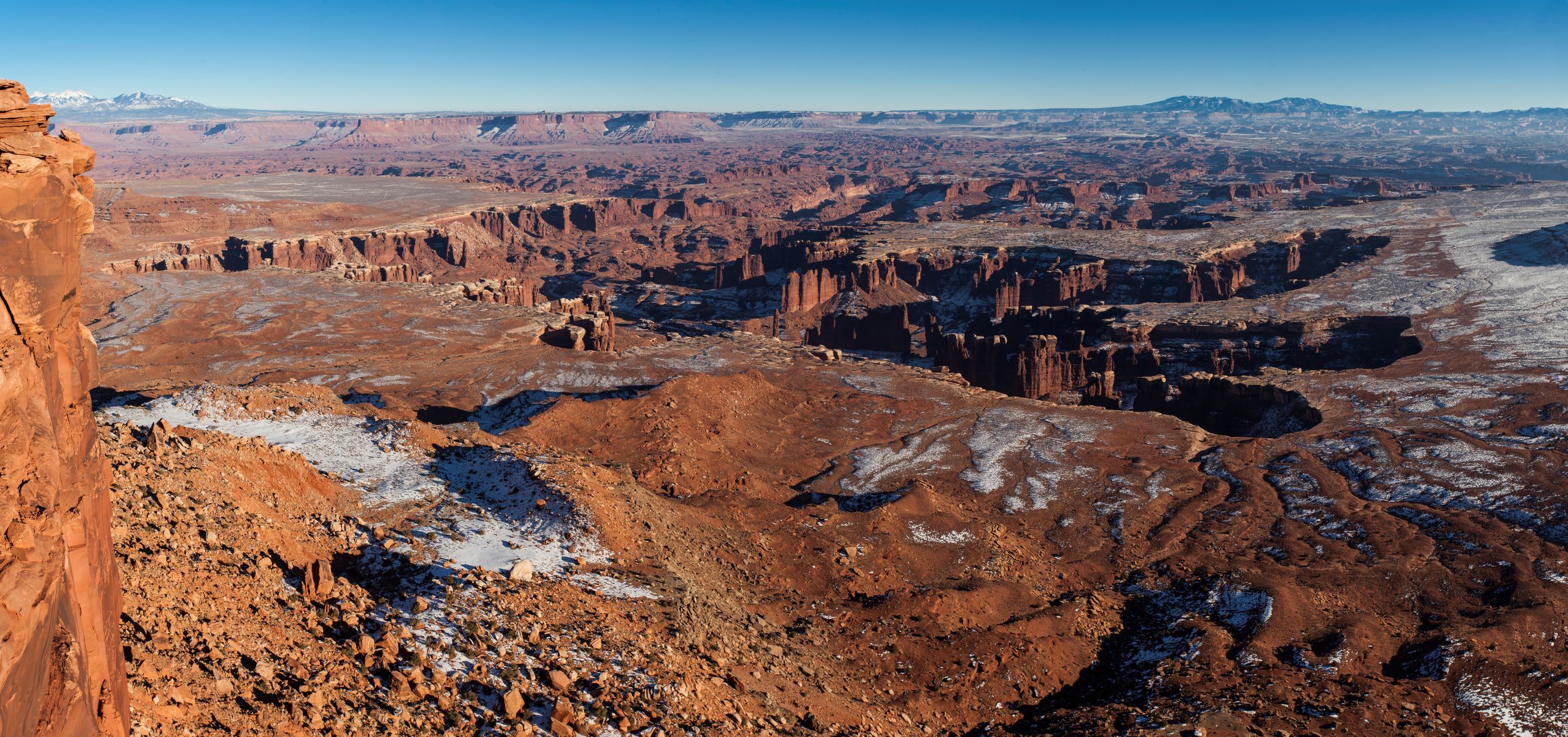 Grand View Point Overlook and TrailHikingPhoto: NPS/Jacob W. Frank0.8 mi
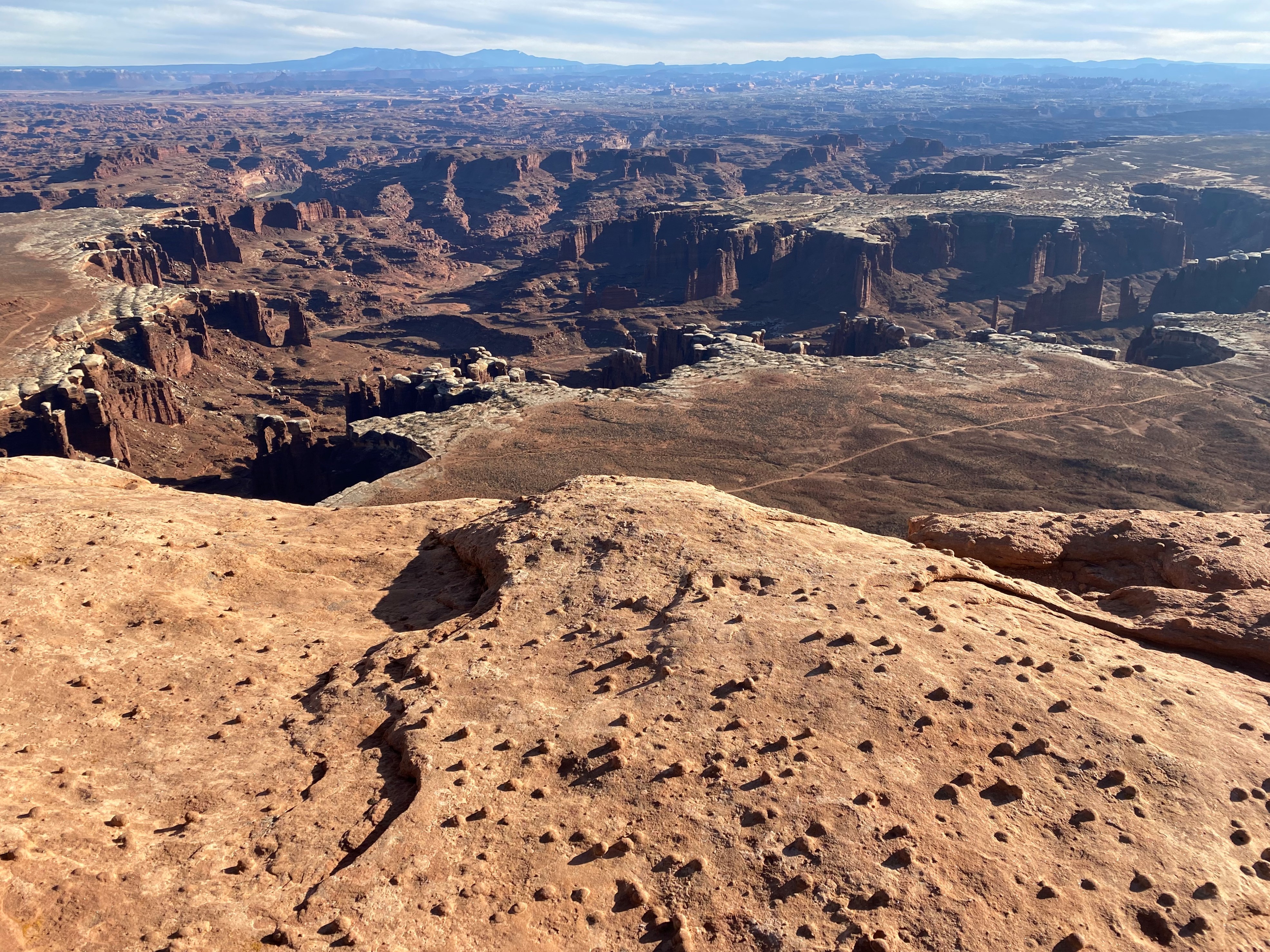 White Rim Overlook TrailHikingPhoto: NPS/Ava Goetz1.6 mi
 Gooseberry TrailHikingPhoto: NPS/Ava Goetz1.6 mi
- Southeast UtahRock climbing4.1 mi
 Taylor CanyonRock climbingPhoto: Frans-Banja Mulder, CC BY 3.0 (via Wikimedia Commons)4.6 mi
 Island In The SkyRock climbingPhoto: au_ears, CC BY-SA 2.0 (via Wikimedia Commons)7.7 mi
 The Needles DistrictRock climbingPhoto: RuggyBearLA, CC BY 2.0 (via Wikimedia Commons)8.8 mi
- Taylor CanyonRock climbingPhoto: Frans-Banja Mulder, CC BY 3.0 (via Wikimedia Commons)~8 min drive
- Island In The SkyRock climbingPhoto: au_ears, CC BY-SA 2.0 (via Wikimedia Commons)~13 min drive
- The Needles DistrictRock climbingPhoto: RuggyBearLA, CC BY 2.0 (via Wikimedia Commons)~15 min drive
 Bird's View Butte / Crow's Head SpiresRock climbingPhoto: BFS Man from Webster, TX, USA, CC BY 2.0 (via Wikimedia Commons)~24 min drive
 North Six Shooter PeakRock climbingPhoto: BFS Man from Webster, TX, USA, CC BY 2.0 (via Wikimedia Commons)~26 min drive
- SuburbiaRock climbingPhoto: BFS Man from Webster, TX, USA, CC BY 2.0 (via Wikimedia Commons)~26 min drive
- Echoes WallRock climbingPhoto: BFS Man from Webster, TX, USA, CC BY 2.0 (via Wikimedia Commons)~27 min drive
 South SixshooterRock climbingPhoto: katsrcool, CC BY 2.0 (via Wikimedia Commons)~28 min drive
 The BeachRock climbingPhoto: BFS Man from Webster, TX, USA, CC BY 2.0 (via Wikimedia Commons)~30 min drive
- Sacred Cow WallRock climbingPhoto: BFS Man from Webster, TX, USA, CC BY 2.0 (via Wikimedia Commons)~31 min drive
Also worth it near here
- Grand View RimHikingPhoto: Peter K., CC BY-SA 3.0 (via Wikimedia Commons)~1 min drive
 Junction ButteSummitPhoto: au_ears, CC BY-SA 2.0 (via Wikimedia Commons)~3 min drive
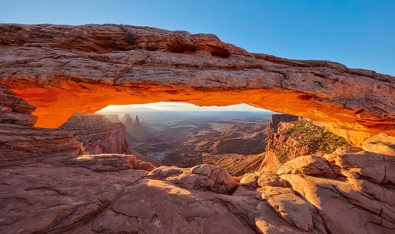 Mesa ArchNatural archPhoto: Thomas Wolf, www.foto-tw.de, CC BY-SA 3.0 (via Wikimedia Commons)~10 min drive
- Lower JumpWaterfall~14 min drive
Conditions and forecast
Daily highs and lows, wind and the chance of precipitation at Monument Basin for the next 7 days, from the Open-Meteo model.
Ask about this place
Questions about Monument Basin: conditions, access, timing. Answers say when something isn't known.
