Millard
Campground
< 0.1 mi from the trail
Gate may be closed due to High Fire danger. Elevation: 1900-Foot Elevation Amenities: 6 hike-in campsites- Picnic tables and campfire rings, vault toilets, no piped water. Seasonal stream water may be available (treat before using). However, water flow may be low or non-existent due to reduced rainfall. Hiking: Just a short hike to the 50 ' Millard Falls. Fees: Camping - Adventure Pass/America the Beautiful Pass Required. Campsites are first come-first served. No reserving or holding of campsites allowed. Day use -Adventure Pass/America the Beautiful Pass Required. Millard Trail Camp may occasionally be closed due to bear activity. Be Bear Aware.
Where it is: Los Angeles Gateway Ranger District · Angeles National Forest
Near: Pasadena
Best months: October–June. Best months have typical highs of 55–85 °F, lows of 30 °F or warmer (32 °F where the station doesn't record snow), at most one snowy day and no more than 12 wet days.
Jan
68°
45°
7 wet
Feb
69°
46°
7 wet
Mar
73°
48°
6 wet
Apr
76°
51°
4 wet
May
78°
54°
3 wet
Jun
84°
58°
2 wet
Jul
89°
62°
1 wet
Aug
91°
63°
0 wet
Sep
90°
62°
1 wet
Oct
83°
56°
2 wet
Nov
75°
50°
3 wet
Dec
67°
45°
6 wet
Typical high / low (°F) and days with rain or snow, 1991–2020. Measured at Pasadena, CA, 4.9 mi away at 864 ft. The station sits about 1,100 ft lower than this place, so expect it a little cooler here. Source: NOAA NCEI U.S. Climate Normals 1991–2020.
Been here? Tell people how it was.
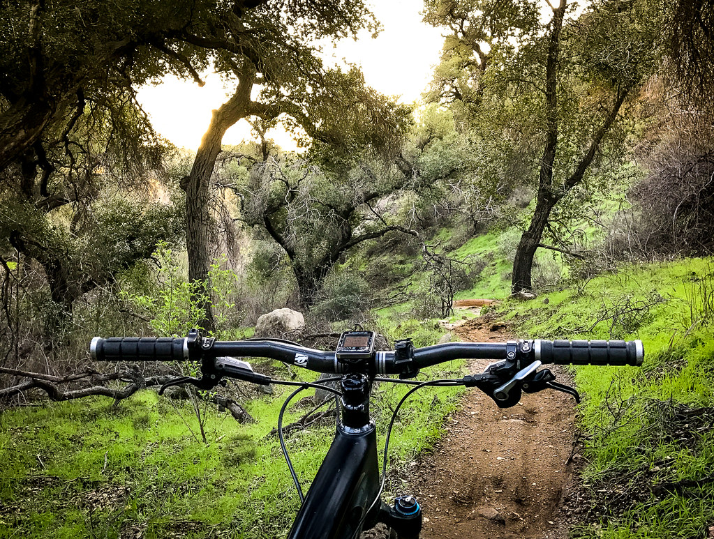 Millard Falls TrailHikingPhoto: Perfect Zero, CC BY 2.0 (via Flickr)0.2 mi
 Big Tujunga CreekCanoeingPhoto: MajaTrochimczyk, CC BY 3.0 us (via Wikimedia Commons)6.5 mi
Also worth it near here
Millard Falls TrailHikingPhoto: Perfect Zero, CC BY 2.0 (via Flickr)Next door Mount Lowe MotorwayMountain bikingPhoto: Crishazzard, CC BY-SA 4.0 (via Wikimedia Commons)~3 min drive
 Mount LoweSummitPhoto: The original uploader was Magi Media at English Wikipedia., CC BY-SA 3.0 (via Wikimedia Commons)~4 min drive
Daily highs and lows, wind and the chance of precipitation at Millard for the next 7 days, from the Open-Meteo model.
Questions about Millard: conditions, access, timing. Answers say when something isn't known.
Millard
Campground
Lucy's Place
Restaurant
 If it rainsBoothsift, CC BY-SA 4.0 · Wikimedia Commons
Places © OpenStreetMap contributors · Photos: Boothsift, CC BY-SA 4.0 (commons)
More in Acton