May Lake High Sierra Camp
Campground
0.8 mi from the trail
 Photo: scorpio-tiger, CC BY-SA 2.0 (via Flickr)
May Lake Area is a climbing area in Yosemite National Park, within the Yosemite Wilderness of California, managed by the National Park Service. It sits inside designated wilderness, so any visit here takes place in backcountry terrain. The climbing is centered on trad and alpine routes, with nine routes listed in total. The grades run from 5.6 up to about 5.10a/b, and the Regular Route and the Unnamed Route on the Thumb's North Face are among the more notable alpine options. The most comfortable months for a trip are July and August, when typical averages from the Tuolumne Meadows weather station, about 9 miles away, run from a high of 71°F to 70°F. Winter is much colder, with typical highs around 40°F and lows near 12°F. May Lake Trail and Mount Hoffman Trail both lie within about a mile of the area, and May Lake - Battle Tanks is a climbing area about a mile away. North Pines Campground, roughly 8 miles off, offers a place to stay.
9 routes · 5.6 – 5.10a/b · Trad · Alpine
Where it is: Yosemite Wilderness · Yosemite National Park
Near: Yosemite Valley
Best months: June–September. Best months have typical highs of 55–85 °F, lows of 30 °F or warmer (32 °F where the station doesn't record snow), at most one snowy day and no more than 12 wet days.
Jan
41°
13°
Feb
38°
12°
Mar
42°
15°
Apr
45°
22°
May
54°
27°
Jun
65°
33°
Jul
71°
38°
Aug
70°
36°
Sep
65°
32°
Oct
57°
26°
Nov
47°
20°
Dec
40°
12°
Typical high / low (°F) and days with rain or snow, 1991–2020. Measured at Tuolumne Meadows Rs, CA, 9.1 mi away at 8,694 ft. The station sits about 1,600 ft lower than this place, so expect it a little cooler here. This station doesn't record snowfall. Source: NOAA NCEI U.S. Climate Normals 1991–2020.
Been here? Tell people how it was.
 Mount Hoffman TrailHikingPhoto: Alvarock Garcia, CC BY 3.0 (via Wikimedia Commons)0.8 miMay Lake TrailHikingPhoto: Alvarock Garcia, CC BY 3.0 (via Wikimedia Commons)1.1 mi
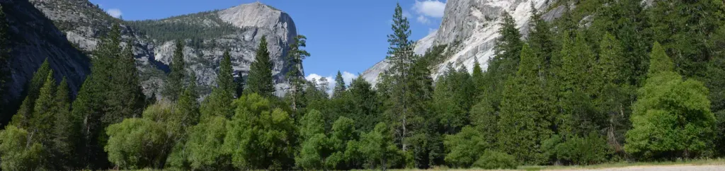 North Pines CampgroundCampingPhoto: Recreation.gov (RIDB) / public domain7.8 mi
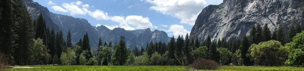 Lower Pines CampgroundCampingPhoto: Recreation.gov (RIDB) / public domain7.9 mi
 Merced RiverCanoeingPhoto: Kylir Horton from Eagle Mountain, Utah, United States, CC BY 2.0 (via Wikimedia Commons)9.3 mi
 Olmsted AreaRock climbingPhoto: RuggyBearLA, CC BY 2.0 (via Flickr)~4 min drive
 Olmsted Canyon RightRock climbingPhoto: Jarek Tuszyński, CC BY 4.0 (via Wikimedia Commons)~4 min drive
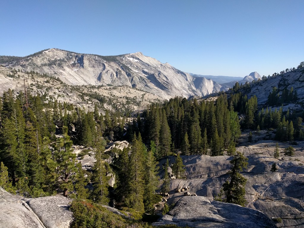 Olmsted Canyon BouldersRock climbingPhoto: dbaron, CC BY-SA 2.0 (via Flickr)~4 min drive
 Stately Pleasure DomeRock climbingPhoto: Jarek Tuszyński, CC BY 4.0 (via Wikimedia Commons)~5 min drive
 Harlequin DomeRock climbingPhoto: jimmyharris, CC BY 2.0 (via Flickr)~5 min driveGuppie WallRock climbingPhoto: jimmyharris, CC BY 2.0 (via Flickr)~5 min drive
 * Tuolumne BoulderingRock climbingPhoto: jimmyharris, CC BY 2.0 (via Flickr)~5 min drive
 The CubeRock climbingPhoto: Jrmichae, CC BY-SA 4.0 (via Wikimedia Commons)~5 min drive
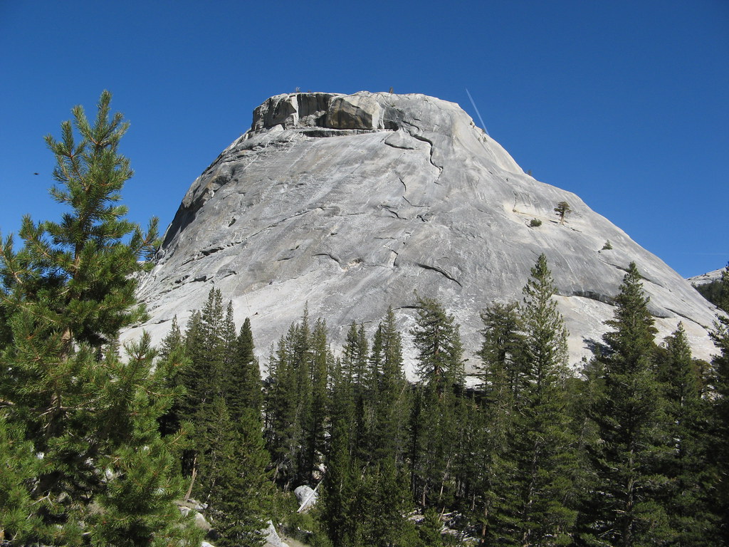 Bunny SlopesRock climbingPhoto: Olivier Bruchez, CC BY-SA 2.0 (via Flickr)~5 min drive
 The BlockRock climbingPhoto: mtnscll, CC BY-SA 2.0 (via Flickr)~5 min drive
Also worth it near here
 Mount HoffmannSummitPhoto: David McCracken, CC BY 2.0 (via Wikimedia Commons)Next doorMount Hoffman TrailHikingPhoto: Alvarock Garcia, CC BY 3.0 (via Wikimedia Commons)~1 min drive
 Yosemite Creek CampgroundCampingPhoto: Eeekster, CC BY 3.0 (via Wikimedia Commons)~9 min drive
Daily highs and lows, wind and the chance of precipitation at May Lake Area for the next 7 days, from the Open-Meteo model.
Questions about May Lake Area: conditions, access, timing. Answers say when something isn't known.
May Lake High Sierra Camp
Campground
The Ahwahnee Bar
Bar
 If it rainsEeekster, CC BY 3.0 · Wikimedia Commons
Sierra Point
Viewpoint
Point in Yosemite National Park at the eastern end of the valley
Places © OpenStreetMap contributors · Photos: Eeekster, CC BY 3.0 (commons)
More in Yosemite Valley