
Village of Trees RV Resort
Hiking business nearby (~46 mi away) — hasn't claimed their Roamze page yet
Utah
Free — you'll pick up right here.
3.2 mi
Distance
3,225 ft
Gain
2h 34m
Time
We won't guess. Here is exactly what we do and don't know.
What we do know
Inside Sawtooth National Forest
2 managing-area boundaries mapped — agency alerts for them feed this page automatically.
Boundary data
What's missing
No access route mapped
We don't yet know which road reaches this trailhead, so we can't tell you if it's gated.
Nobody's filed a report here yet — be the first.
Why you'll love it
Lake Fork
Suggested plan · check conditions before you go
Lake Fork is a 6.44-mile out-and-back trail in Utah with 3,225 feet of elevation gain and loss. The route reaches a maximum elevation of 9,414 feet.
City of Rocks National Reserve, the California Trail
~32 min drive
Although there may have been some visitation to the area by Europeans and Americans during the fur trade and exploration-era, the establishment of the California Trail through the City of Rocks is what brought the first significant number of European-Americans to what is now t…
 Photo: RuggyBearLA, CC BY 2.0 (via Flickr)
Tracey Homestead Trail
~34 min drive
1.0-mile out-and-back trail in Idaho with 103 ft elevation gain
(Salt Lake City Cut Off) California National Historic Trail
~24 min drive
7.26-mile out-and-back trail on the California National Historic Trail in Utah.
WAR EAGLE PEAK
~25 min drive
8.76-mile out-and-back to War Eagle Peak in Idaho with 4,297 ft elevation gain
Photo: RuggyBearLA, CC BY 2.0 (via Flickr)Smoky Mountain Connector
~34 min drive
2.46-mile out-and-back trail in Idaho with 391 ft gain.
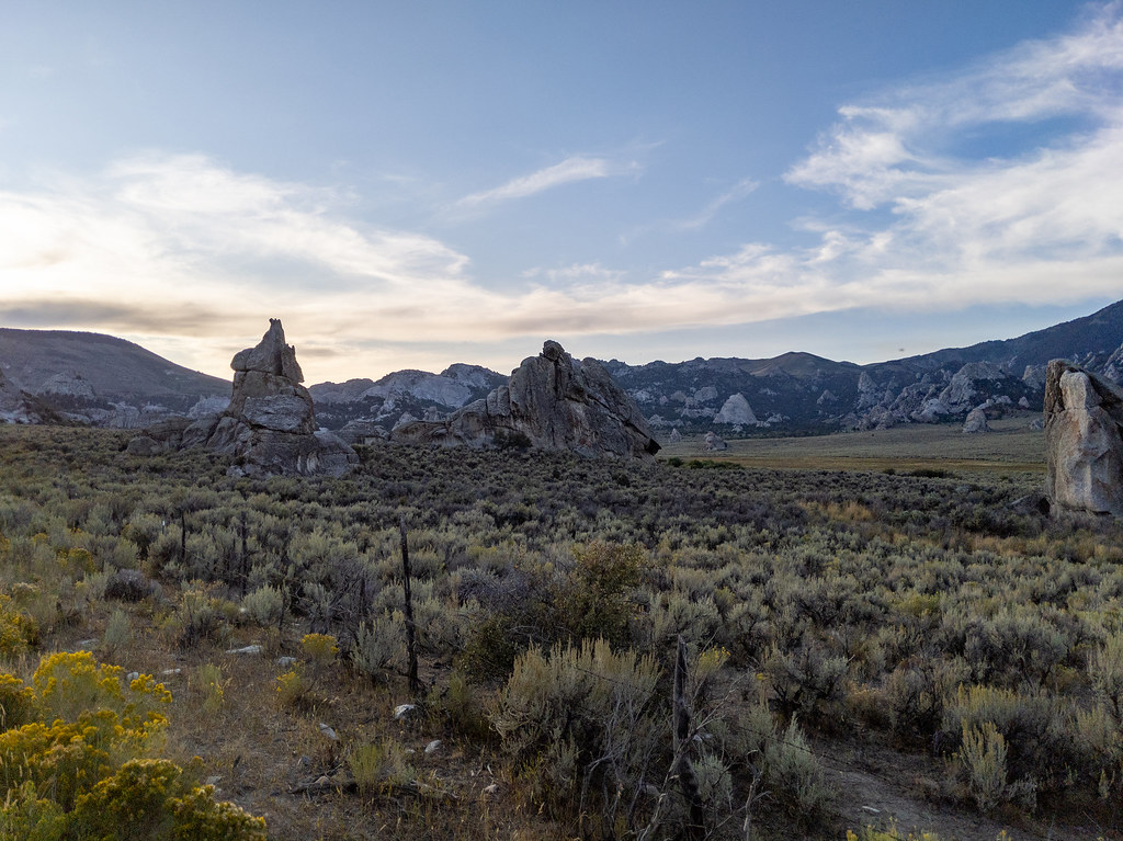 Photo: RuggyBearLA, CC BY 2.0 (via Flickr)
Geological Trail
~36 min drive
1.08-mile out-and-back trail in Idaho with 411 ft elevation gain
North Fork Circle Creek
~38 min drive
7.44-mile out-and-back trail in Idaho with 2,165 ft elevation gain
Photo: RuggyBearLA, CC BY 2.0 (via Flickr)Circle Creek Canyon Trail
~35 min drive
3.2-mile out-and-back hike in Idaho's Circle Creek Canyon with 234 ft gain.
Photo: RuggyBearLA, CC BY 2.0 (via Flickr)Steinfell's Dome Trail
~36 min drive
0.98-mile out-and-back hike in Idaho with 641 ft elevation gain.
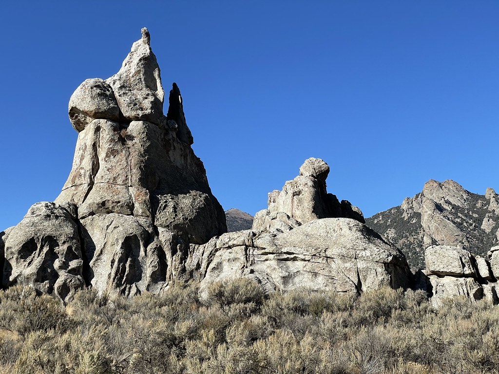 Photo: Seth Tisue, CC BY-SA 2.0 (via Flickr)
Camp Rock
~36 min drive
Camp Rock was a favorite resting place for emigrants traveling along the California Trail. Some wrote their names in axle grease on the rock faces. Now over 160 years later, we can see those names and wonder what it was like for them as they traveled throught the City of Rocks…
Local operatorsoffering guided trips. You book directly with them — Roamze doesn’t take a cut.
Village of Trees RV Resort
Hiking business nearby (~46 mi away) — hasn't claimed their Roamze page yet
