Junction Butte
 Photo: au_ears, CC BY-SA 2.0 (via Wikimedia Commons)
At a glance
Junction Butte is a summit in Utah's Canyonlands National Park, managed by the National Park Service, rising to 6,401 feet. The nearest town is La Sal Junction, about 25 miles away. Spring and fall are the most comfortable times to visit. Typical averages from a nearby weather station show May highs around 72°F with lows near 50°F, and September highs around 79°F with lows near 57°F. That station sits a few hundred feet lower than the summit, so temperatures on top run slightly cooler. Several trails and climbing areas lie within a few miles. Monument Basin, a climbing area, is about 1.6 miles away, and Grand View Rim and the Grand View Point Overlook and Trail are both about 1.9 miles off. The White Rim Overlook Trail is about 2.8 miles away.
- summit
- 6,401 ft
- managed by
- National Park Service
- best months
- Apr–Jun, Sep–Oct
Where it is: Canyonlands National Park
Near: Moab
Best time to visit Junction Butte
Best months: April–June and September–October. Best months have typical highs of 55–85 °F, lows of 30 °F or warmer (32 °F where the station doesn't record snow), at most one snowy day and no more than 12 wet days.
Jan
37°
22°
4 wet · 4 snow
Feb
43°
27°
4 wet · 3 snow
Mar
54°
35°
5 wet · 2 snow
Apr
62°
40°
5 wet · 1 snow
May
72°
50°
5 wet
Jun
85°
62°
3 wet
Jul
91°
68°
6 wet
Aug
88°
66°
7 wet
Sep
79°
57°
6 wet
Oct
65°
44°
5 wet
Nov
49°
33°
4 wet · 2 snow
Dec
37°
23°
4 wet · 4 snow
Typical high / low (°F) and days with rain or snow, 1991–2020. Measured at Canyonlands-The Neck, UT, 12.3 mi away at 5,871 ft. The station sits about 500 ft lower than this place, so expect it a little cooler here. Source: NOAA NCEI U.S. Climate Normals 1991–2020.
Been here? Tell people how it was.
We don't know of a mapped trail or route to the summit of Junction Butte. Plan the approach with local maps, a guidebook or a local guide, and check conditions before you go.
 Aztec Butte6,310 ft · Utah1 route7.6 mi awayPhoto: G. Edward Johnson, CC BY 4.0 (via Wikimedia Commons)
 Upheaval Dome5,927 ft · Utah1 route10 mi awayPhoto: Jim Stuby (user Jstuby), Public domain (via Wikimedia Commons)
- Dead Horse Point6,022 ft · Utah1 route16 mi away
 Monitor Butte5,439 ft · Utah1 route27 mi awayPhoto: CC BY-SA 2.5 (via Wikimedia Commons)
 Mount Tukuhnikivatz12,480 ft · Utah1 route35 mi awayPhoto: Erik Wilde, CC BY-SA 2.0 (via Wikimedia Commons)
 Mount Peale12,724 ft · Utah1 route36 mi awayPhoto: Suffusion of Yellow, CC BY-SA 3.0 (via Wikimedia Commons)
 Monument BasinRock climbingPhoto: Peter K., CC BY-SA 3.0 (via Wikimedia Commons)1.6 mi
- Grand View RimHikingPhoto: Peter K., CC BY-SA 3.0 (via Wikimedia Commons)1.9 mi
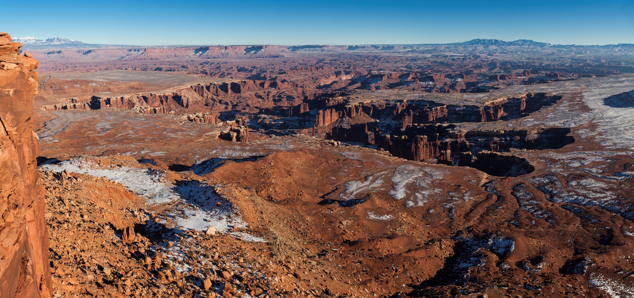 Grand View Point Overlook and TrailHikingPhoto: NPS/Jacob W. Frank1.9 mi
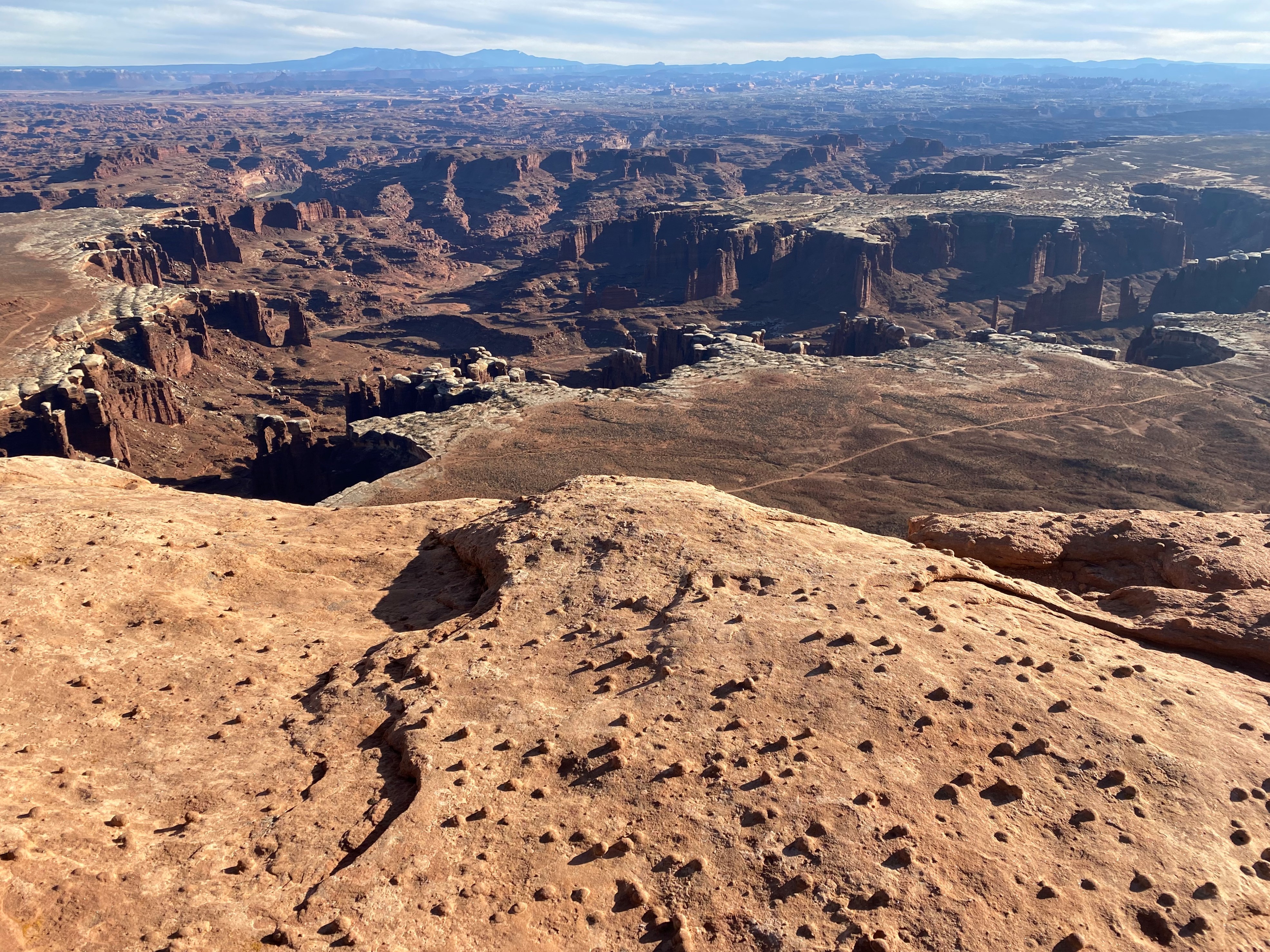 White Rim Overlook TrailHikingPhoto: NPS/Ava Goetz2.8 mi
 Gooseberry TrailHikingPhoto: NPS/Ava Goetz2.8 mi
- Southeast UtahRock climbing5 mi
 Taylor CanyonRock climbingPhoto: Frans-Banja Mulder, CC BY 3.0 (via Wikimedia Commons)5.2 mi
 The Needles DistrictRock climbingPhoto: RuggyBearLA, CC BY 2.0 (via Wikimedia Commons)8.2 mi
 Ekker ButteSummitPhoto: Greg Willis from Denver, CO, usa, CC BY-SA 2.0 (via Wikimedia Commons)~10 min drive
 Muffin ButteSummitPhoto: Peter & Joyce Grace, CC BY 2.0 (via Wikimedia Commons)~11 min drive
 Candlestick TowerSummitPhoto: dconvertini, CC BY-SA 2.0 (via Wikimedia Commons)~12 min drive
- Aztec ButteSummitPhoto: G. Edward Johnson, CC BY 4.0 (via Wikimedia Commons)~13 min drive
- Upheaval DomeSummitPhoto: Jim Stuby (user Jstuby), Public domain (via Wikimedia Commons)~17 min drive
 Elaterite ButteSummitPhoto: Nick Taylor, CC BY 2.0 (via Wikimedia Commons)~17 min drive
 Buttes of the CrossSummitPhoto: Amy Washuta, CC BY 2.0 (via Wikimedia Commons)~19 min drive
 Bighorn MesaSummitPhoto: Greg Willis from Denver, CO, usa, CC BY-SA 2.0 (via Wikimedia Commons)~21 min drive
 North Sixshooter PeakSummitPhoto: Bureau of Land Management, CC BY 2.0 (via Wikimedia Commons)~26 min drive
 South Sixshooter PeakSummitPhoto: dfbphotos, CC BY 2.0 (via Wikimedia Commons)~29 min drive
Also worth it near here
- Monument BasinRock climbingPhoto: Peter K., CC BY-SA 3.0 (via Wikimedia Commons)~3 min drive
- Grand View RimHikingPhoto: Peter K., CC BY-SA 3.0 (via Wikimedia Commons)~3 min drive
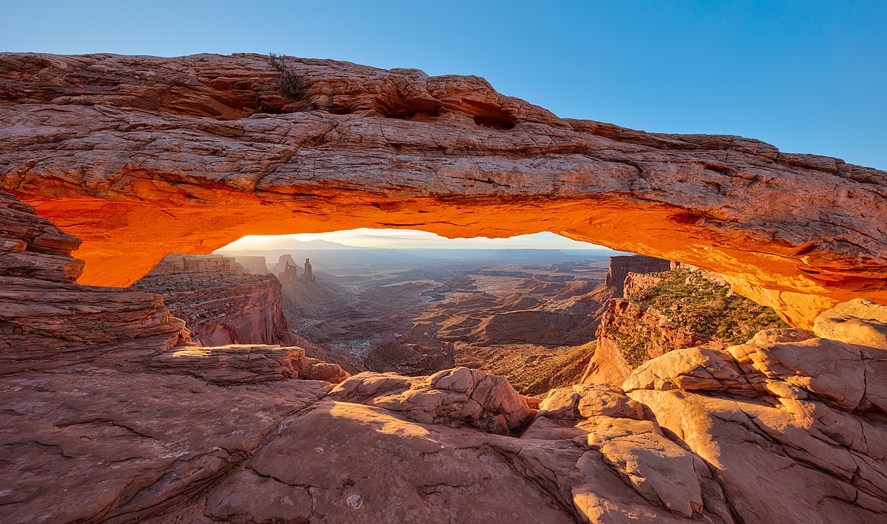 Mesa ArchNatural archPhoto: Thomas Wolf, www.foto-tw.de, CC BY-SA 3.0 (via Wikimedia Commons)~12 min drive
- Lower JumpWaterfall~13 min drive
Conditions and forecast
Daily highs and lows, wind and the chance of precipitation at the summit for the next 7 days, from the Open-Meteo model.
Questions about Junction Butte
How tall is Junction Butte?
6,401 ft (1,951 m).
Is there a trail to the top of Junction Butte?
We don't know of a mapped trail or route to the summit. Plan the approach with local maps, a guidebook or a local guide.
Ask about this place
Questions about Junction Butte: conditions, access, timing. Answers say when something isn't known.
