James H. Smith Interpretive Loop
At a glance
James H. Smith Interpretive Loop is a short out-and-back trail in Colorado covering 0.26 miles with 7 feet of elevation gain. The route follows an out-and-back pattern, meaning hikers return via the same path they took to reach the out-and-back.
- round trip
- 0.3 mi
- climb
- 7 ft
- high point
- 8,031 ft
- route
- Out and back
- best months
- May–Sep
Near: Aspen
Blocked today
A road serving this area is closed; agency alerts are in effect for this area; weather is marginal · USFS, State DOT 511, OpenWeather · checked just now
Is James H. Smith Interpretive Loop open right now?
Road closed
CO 82: road closure is listed as closed by CDOT 511.
CO 82: road closure
Closed · ~0.2 km from James H. Smith Interpretive Loop · CDOT 511
FSR 286, Radical Hill, is closed due to washouts and unsafe conditions
Agency alert covering White River National Forest · USFS · White River National Forest
Limited parking at Snowmass Creek Trailhead
Agency alert covering White River National Forest · USFS · White River National Forest
Ruedi Marina Day Use area Dump Station is CLOSED
Agency alert covering White River National Forest · USFS · White River National Forest
Asbestos safety closure - Camp Hale
Agency alert covering White River National Forest · USFS · White River National Forest
As of · Source: CDOT 511. Agencies don't list every closure — check before you go.
Guides still running nearby
Local guides with trips near here. Ask them what they're running while this is closed.
Best time to visit James H. Smith Interpretive Loop
Best months: May–September. Best months have typical highs of 55–85 °F, lows of 30 °F or warmer (32 °F where the station doesn't record snow), at most one snowy day and no more than 12 wet days.
Jan
32°
10°
13 wet
Feb
35°
13°
12 wet
Mar
43°
20°
12 wet
Apr
50°
27°
12 wet
May
60°
35°
11 wet
Jun
71°
42°
8 wet
Jul
76°
48°
11 wet
Aug
73°
47°
12 wet
Sep
67°
40°
10 wet
Oct
55°
30°
9 wet
Nov
42°
19°
10 wet
Dec
32°
10°
12 wet
Typical high / low (°F) and days with rain or snow, 1991–2020. Measured at Aspen 1sw, CO, 2.9 mi away at 8,175 ft. This station doesn't record snowfall. Source: NOAA NCEI U.S. Climate Normals 1991–2020.
Been here? Tell people how it was.
 Ute TrailHikingPhoto: Baker Pics and Whatnot, CC BY-SA 2.0 (via Flickr)~3 min drive
- Cherry TrailHikingPhoto: Baker Pics and Whatnot, CC BY-SA 2.0 (via Flickr)~3 min drive
 Ajax TrailHikingPhoto: Frans-Banja Mulder, CC BY 3.0 (via Wikimedia Commons)~4 min drive
- Warren Lakes TrailHiking~4 min drive
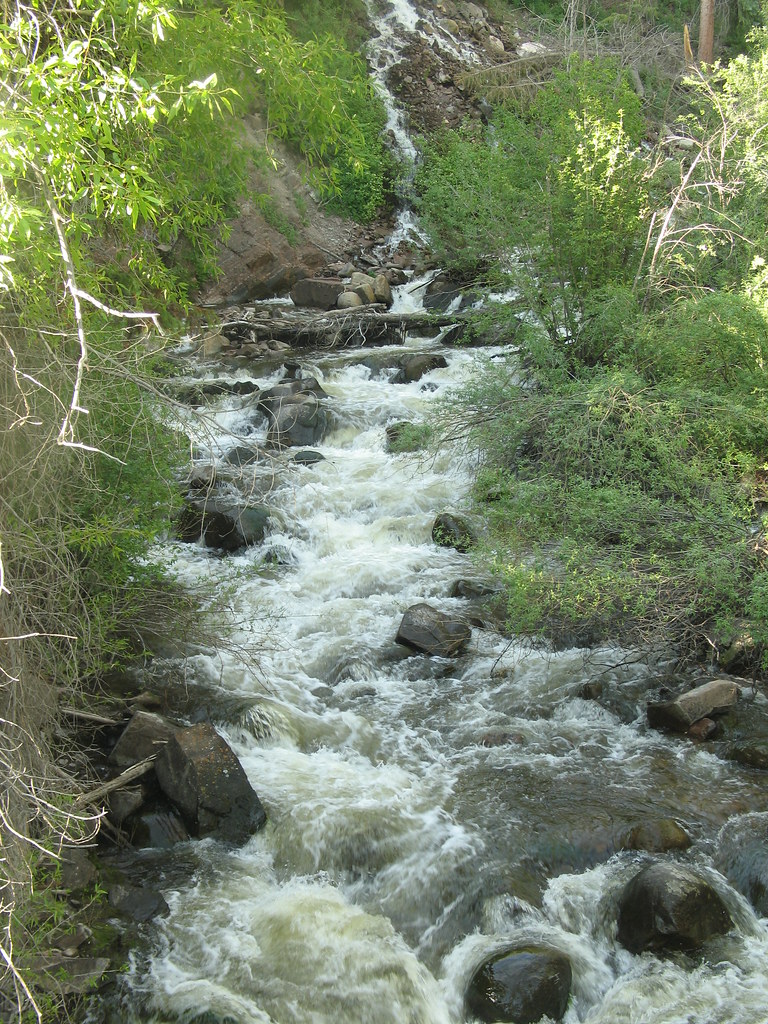 Upper Hunter ValleyHikingPhoto: tommypjr, CC BY 2.0 (via Flickr)~5 min drive
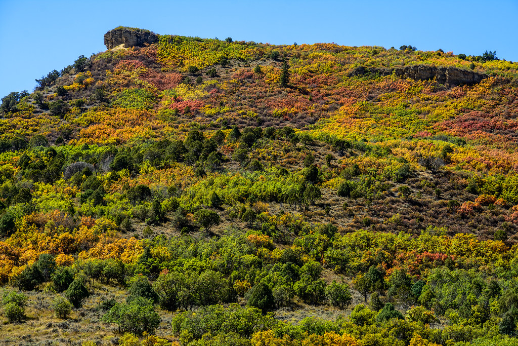 Little Nell TrailHikingPhoto: dconvertini, CC BY-SA 2.0 (via Flickr)~3 min drive
- Difficult CreekHiking~3 min drive
 Congo TrailHikingPhoto: randomduck, CC BY-SA 2.0 (via Flickr)~5 min drive
 Smuggler LoopHikingPhoto: Lorie Shaull, CC BY 2.0 (via Flickr)~4 min drive
- SMUGGLERS CUTOFFHiking~4 min drive
Conditions and forecast
Blocked todayA road serving this area is closed; agency alerts are in effect for this areaUSFS, State DOT 511 · checked 20 min agoDaily highs and lows, wind and the chance of precipitation at James H. Smith Interpretive Loop for the next 7 days, from the Open-Meteo model.

Ask about this place
Questions about James H. Smith Interpretive Loop: conditions, access, timing. Answers say when something isn't known.
Go with a guide
- Mineral Belt Trail Guided WalkNexPM AI · $25 per person · 27 mi away
- Maroon Bells Guide and Outfitters5 mi away
Map and trail data © OpenStreetMap contributors
