Jackson Flat Interpretive
 Photo: Rennett Stowe, CC BY 2.0 (via Flickr)
At a glance
Jackson Flat Interpretive is a short loop hike in the San Gabriel Mountains National Monument Ranger District of Angeles National Forest, about 0.4 miles long and with a total elevation gain of 31 feet. The Forest Service manages the land, and the route is a loop, so you return to your starting point. Spring and fall are the most comfortable times to go. Typical averages from the nearby Wrightwood weather station, at about 6,000 feet, show May highs around 69°F and October highs around 64°F, while July and August climb to the low 80s. Jackson Lake Interpretive and Jackson Lake are both about 0.9 miles away, and Lake Campground is the same distance. The Fenner Saddle Trail is about a mile off.
- loop
- 0.4 mi
- climb
- 31 ft
- route
- Loop
- difficulty
- Easy
- best months
- Apr–Oct
Where it is: San Gabriel Mountains National Monument Ranger District · Angeles National Forest
Near: Rancho Cucamonga
Best time to visit Jackson Flat Interpretive
Best months: April–October. Best months have typical highs of 55–85 °F, lows of 30 °F or warmer (32 °F where the station doesn't record snow), at most one snowy day and no more than 12 wet days.
Jan
48°
26°
5 wet
Feb
48°
25°
8 wet
Mar
54°
29°
6 wet
Apr
60°
32°
4 wet
May
69°
39°
2 wet
Jun
78°
44°
1 wet
Jul
83°
53°
2 wet
Aug
82°
51°
2 wet
Sep
75°
46°
2 wet
Oct
64°
37°
3 wet
Nov
55°
29°
4 wet
Dec
47°
25°
5 wet
Typical high / low (°F) and days with rain or snow, 1991–2020. Measured at Wrightwood, CA, 5.7 mi away at 6,000 ft. We don't have this place's elevation, so higher spots nearby can run cooler. This station doesn't record snowfall. Source: NOAA NCEI U.S. Climate Normals 1991–2020.
Been here? Tell people how it was.
 Jackson Lake InterpretiveHikingPhoto: SuZi Zimmermann, CC BY-SA 3.0 (via Wikimedia Commons)0.9 mi
- Jackson LakeHikingPhoto: SuZi Zimmermann, CC BY-SA 3.0 (via Wikimedia Commons)0.9 mi
- Lake CampgroundCamping0.9 mi
- Fenner Saddle TrailHiking1 mi
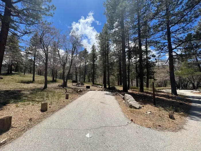 Mountain OakCampingPhoto: Recreation.gov (RIDB) / public domain1 mi
- Jackson Flat GroupCamping1 mi
 Behind the ScenesRock climbingPhoto: Michael R Perry, CC BY 2.0 (via Flickr)7.1 mi
- Tunnel CragRock climbing7.2 mi
- Jackson Flat GeologicalHikingPhoto: Rennett Stowe, CC BY 2.0 (via Flickr)Next door
 Dawson SaddleHikingPhoto: mjhbower, CC BY-SA 2.0 (via Flickr)~7 min drive
 South Hawkins TrailHikingPhoto: mjhbower, CC BY-SA 2.0 (via Flickr)~11 min drive
 South Fork TrailHikingPhoto: Alfa117, CC BY-SA 3.0 (via Wikimedia Commons)~12 min drive
 Half Knob TrailHikingPhoto: jesse?, CC BY 2.0 (via Flickr)~12 min drive
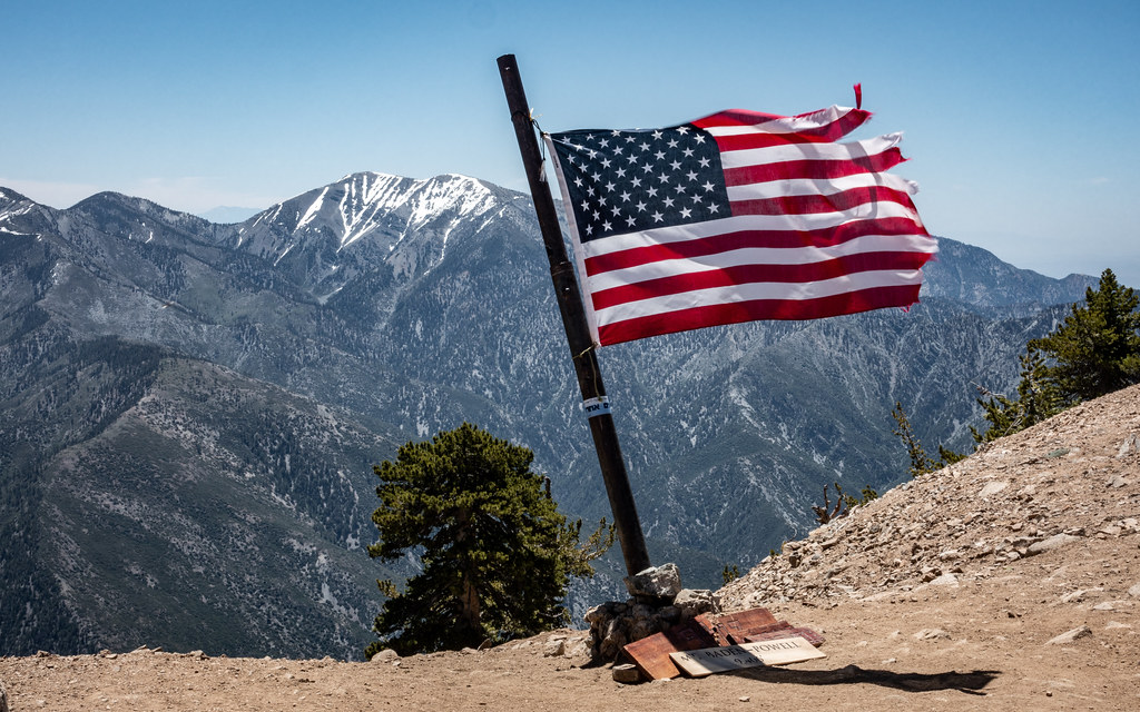 Limber Pines VistaHikingPhoto: mjhbower, CC BY-SA 2.0 (via Flickr)~4 min drive
 Windy Gap TrailHikingPhoto: mjhbower, CC BY-SA 2.0 (via Flickr)~11 min drive
 Gold Dollar TrailHikingPhoto: Eeek, CC BY 3.0 (via Wikimedia Commons)~13 min drive
 Blue Ridge Truck TrailHikingPhoto: Masaru Kamikura, CC BY 2.0 (via Flickr)~6 min drive
- LOST RIDGE TRAILHikingPhoto: mjhbower, CC BY-SA 2.0 (via Flickr)~12 min drive
Also worth it near here
 PCT Grassy HollowMountain bikingPhoto: Tracie Hall from Orange County, us, CC BY-SA 2.0 (via Wikimedia Commons)Next door
- Mountain OakCamping~2 min drive
 Mount Baden-PowellSummitPhoto: The original uploader was Jakerome at English Wikipedia./ Simonov, CC BY-SA 2.0 (via Wikimedia Commons)~4 min drive
 Mountain HighDownhill skiingPhoto: Mtf612 at English Wikipedia, Public domain (via Wikimedia Commons)~5 min drive
Conditions and forecast
Caution todayAgency alerts are in effect for this areaUSFS · checked 11 min agoDaily highs and lows, wind and the chance of precipitation at Start for the next 7 days, from the Open-Meteo model.
Ask about this place
Questions about Jackson Flat Interpretive: conditions, access, timing. Answers say when something isn't known.
