Ishpeming Point
At a glance
Ishpeming Point is a summit of 1,372 feet in Michigan's Isle Royale National Park, within the Isle Royale Wilderness. The nearest town is Windigo, about 13 miles away. Summer is the most comfortable time to visit. Typical July highs reach about 74°F with lows near 52°F, according to averages from a nearby weather station at Grand Portage, Minnesota. That station sits well below the summit, so temperatures up here run cooler. The Ishpeming Trail and Greenstone Ridge Trail both start about a tenth of a mile from the summit, and the Hatchet Lake Trail is roughly 4 miles off. The Island Mine Trail lies about 7 miles away.
- summit
- 1,372 ft
- way up
- 1
- best months
- May–Sep
Where it is: Isle Royale Wilderness · Isle Royale National Park
Near: Eagle Harbor
Best time to visit Ishpeming Point
Best months: May–September. Best months have typical highs of 55–85 °F, lows of 30 °F or warmer (32 °F where the station doesn't record snow), at most one snowy day and no more than 12 wet days.
Jan
20°
1°
9 wet
Feb
24°
2°
6 wet
Mar
34°
13°
7 wet
Apr
45°
26°
9 wet
May
58°
37°
11 wet
Jun
68°
46°
12 wet
Jul
74°
52°
11 wet
Aug
73°
52°
11 wet
Sep
65°
44°
11 wet
Oct
51°
33°
11 wet
Nov
38°
22°
9 wet
Dec
26°
9°
9 wet
Typical high / low (°F) and days with rain or snow, 1991–2020. Measured at Grand Portage, MN, 36 mi away at 730 ft. The station sits about 600 ft lower than this place, so expect it a little cooler here. This station doesn't record snowfall. Source: NOAA NCEI U.S. Climate Normals 1991–2020.
Been here? Tell people how it was.
Map © Mapbox © OpenStreetMap contributors - Mount Ojibway1,146 ft · Michigan2 routes16 mi away
- Mount Rose904 ft · Minnesota8 routes36 mi away
- Mount Bohemia1,459 ft · Michigan2 routes59 mi away
- Eagle Mountain2,296 ft · Minnesota1 route77 mi away
- Oberg Mountain1,552 ft · Minnesota2 routes90 mi away
- Government Peak1,853 ft · Michigan1 route92 mi away
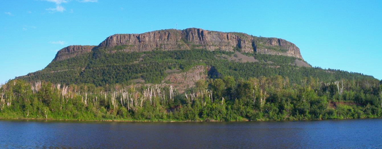 Mount McKaySummitPhoto: Vidioman, CC BY-SA 3.0 (via Wikimedia Commons)~51 min drive
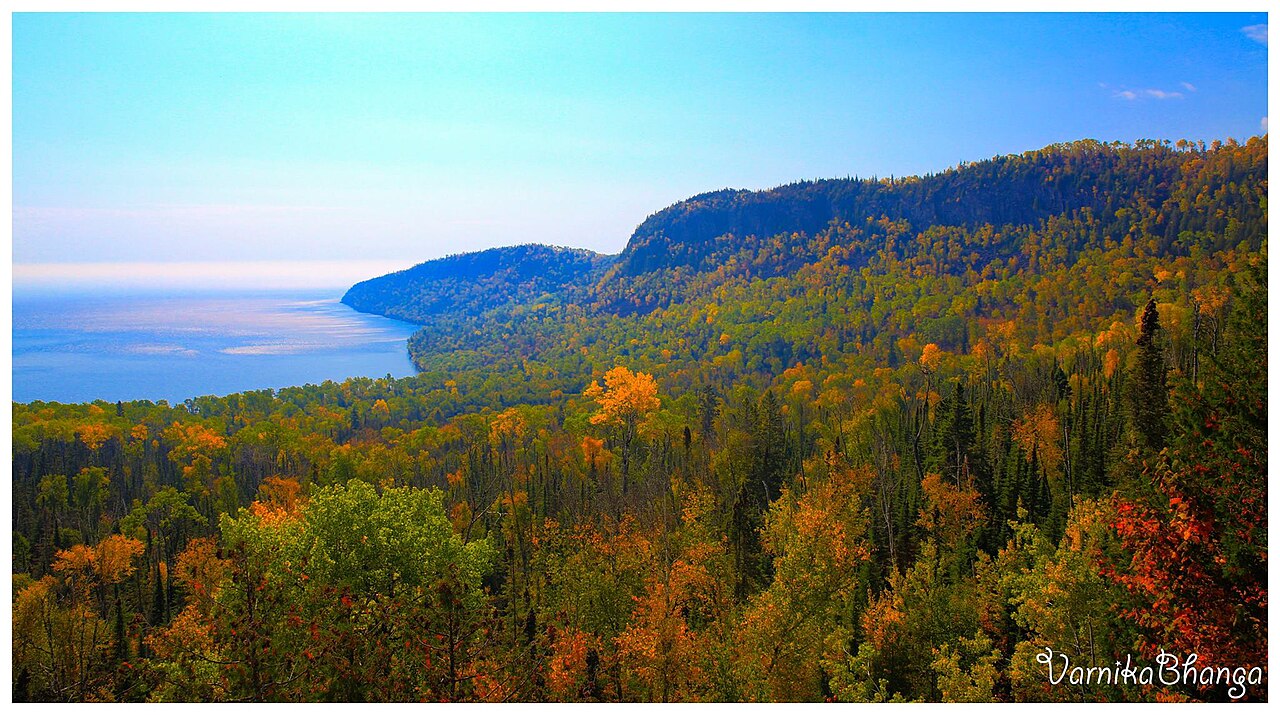 Mount JosephineSummitPhoto: Subhrajit rc, CC BY-SA 4.0 (via Wikimedia Commons)~59 min drive
- Mount OjibwaySummit~28 min drive
- The SugarloafSummit~32 min drive
- The Sleeping GiantSummit~42 min drive
- Mount MollieSummit~46 min drive
- Mount RoseSummit~1h 2m drive
- Pine MountainSummit~18 min drive
Also worth it near here
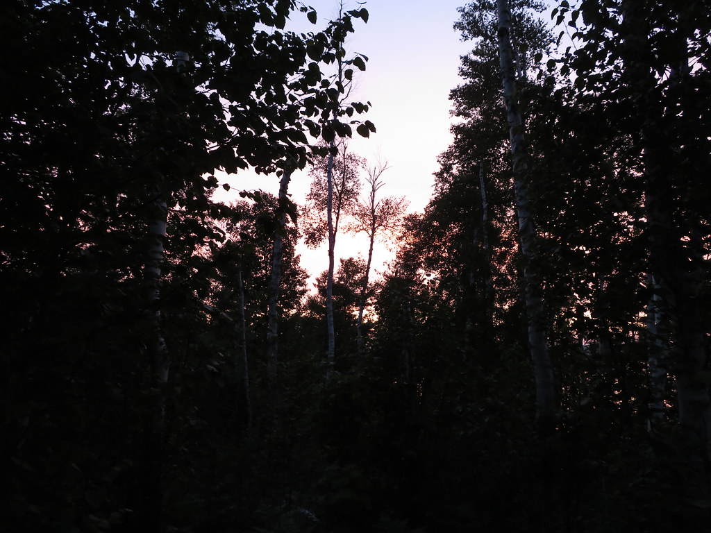 South Lake Desor Access TrailHikingPhoto: Ken Lund, CC BY-SA 2.0 (via Flickr)~6 min drive
- Lake SuperiorLake fishing~12 min drive
 Little Trout Bay Boat LaunchBoat launchPhoto: Sharon Mollerus, CC BY 2.0 (via Wikimedia Commons)~43 min drive
 Marie Louise Lake CampgroundCampingPhoto: Robin Férand, CC BY 3.0 (via Wikimedia Commons)~45 min drive
Conditions and forecast
Daily highs and lows, wind and the chance of precipitation at the summit and route start for the next 7 days, from the Open-Meteo model.
Questions about Ishpeming Point
How tall is Ishpeming Point?
1,372 ft (418 m).
How many routes go to the summit of Ishpeming Point?
One: Ishpeming Trail.
Ask about this place
Questions about Ishpeming Point: conditions, access, timing. Answers say when something isn't known.
