
Turquoise Trail Campground
Hiking business nearby (~47 mi away) — hasn't claimed their Roamze page yet
New Mexico
Free — you'll pick up right here.
3.4 mi
Distance
1,365 ft
Gain
1h 46m
Time
We won't guess. Here is exactly what we do and don't know.
What we do know
Inside Santa Fe National Forest
2 managing-area boundaries mapped — agency alerts for them feed this page automatically.
Boundary data
What's missing
No access route mapped
We don't yet know which road reaches this trailhead, so we can't tell you if it's gated.
Nobody's filed a report here yet — be the first.
Why you'll love it
Ghost Town Trail (177)
Suggested plan · check conditions before you go
No permit or access details on file for this trail — check with the local land manager before you go.
Ghost Town Trail (177) is a 6.7-mile out-and-back route in New Mexico with 1,365 feet of elevation gain and loss. The trail reaches a maximum elevation of 8,897 feet.
 Photo: jimcintosh, CC BY 2.0 (via Flickr)
Ghost Town
~1 min drive
7.65-mile out-and-back trail in New Mexico with 1,739 ft gain.
 Photo: ShanMcG213, CC BY-SA 2.0 (via Flickr)
Glorieta Pass Battlefield Trail
~5 min drive
2.26-mile loop at Glorieta Pass Battlefield Trail in New Mexico with 321 ft gain.
 Photo: jimcintosh, CC BY 2.0 (via Flickr)
Deer Trail
~7 min drive
8.94-mile out-and-back hike in New Mexico with 1,470 ft elevation gain/loss.
 Photo: ShanMcG213, CC BY-SA 2.0 (via Flickr)
Ancestral Sites Trail
~10 min drive
2.38-mile out-and-back hike in New Mexico with 62 ft of elevation gain.
Glorieta Baldy
~1 min drive
10.40-mile out-and-back trail in New Mexico with 2,742 ft elevation gain.
Photo: jimcintosh, CC BY 2.0 (via Flickr)Grasshopper Canyon Trail
~7 min drive
2.94-mile out-and-back hike in New Mexico with 637 ft elevation gain
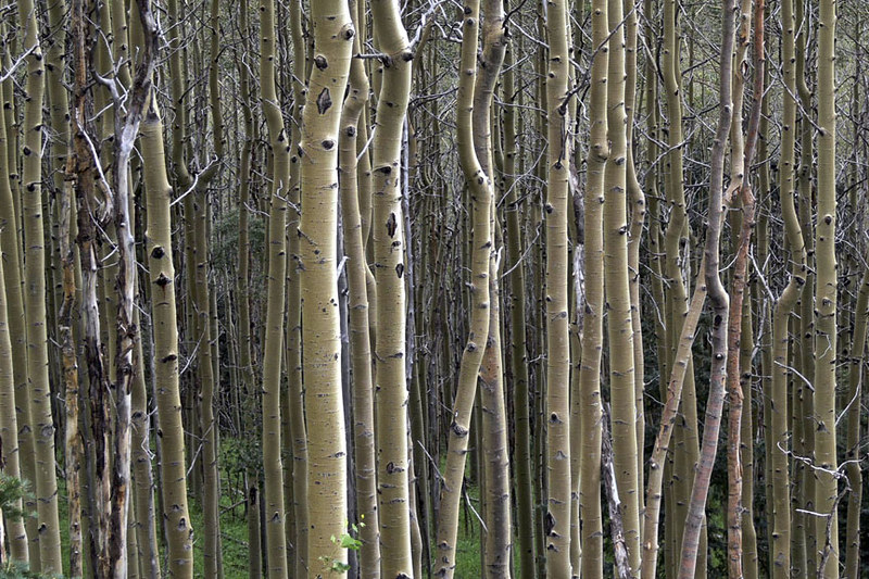 Photo: awsheffield, CC BY 2.0 (via Flickr)
West Circle Trail
~16 min drive
4.3-mile out-and-back trail in New Mexico with 1,874 ft elevation gain and loss.
Pecos National Historical Park
~12 min drive
From wagon ruts to trading posts, remnants of the historical Santa Fe Trail can still be seen at Pecos National Historical Park. Settlers and travelers riding the trail between Santa Fe, NM and Independence, MO passed right by the remnants of Pecos Pueblo. Long before…
Baldy
~9 min drive
12.60-mile out-and-back trail in New Mexico with 2,677 ft elevation gain.
Photo: jimcintosh, CC BY 2.0 (via Flickr)Apache Canyon Trail
~7 min drive
1.02-mile out-and-back hike in New Mexico with 212 ft elevation gain
Map and trail data © OpenStreetMap contributors
Local operatorsoffering guided trips. You book directly with them — Roamze doesn’t take a cut.
Turquoise Trail Campground
Hiking business nearby (~47 mi away) — hasn't claimed their Roamze page yet
