Monarch Spur RV Park
Hiking business nearby (~13 mi away) — hasn't claimed their Roamze page yet
Colorado
Free — you'll pick up right here.
21.3 mi
Distance
5,656 ft
Gain
Final 0.9 mi off-trail
No mapped path. Route-finding required. It climbs about 1,604 ft. The dashed line is a straight-line guide, not a route.
Agency alerts are in effect for this area; weather is good
2 factors · 2 sources
Newest 12 h ago · oldest 13 h
caution: Agency alerts
26 active alerts in Pike and San Isabel National Forests; most severe: FSR 286, Radical Hill, is closed due to washouts and unsafe conditions
USFSPosted Sep 18 · checked 13 h ago
clear: Weather
Clouds, high 51°F / low 51°F, 0% precip — 97/100 for hike
OpenWeather12 h ago
Been out here in the last few days? One report keeps this current for everyone.
Why you'll love it
Grizzly Mountain
Suggested plan · check conditions before you go
Profile ends where the mapped trail ends. The last 0.9 mi is off-trail.
Grizzly Mountain rises to 13,684 ft in Colorado. This route starts at the trailhead and covers 21.3 miles round trip with about 5,656 ft of climbing. The mapped trail ends 0.9 miles and about 1,604 ft short of the summit; the final stretch is off-trail with no mapped path and needs route-finding.
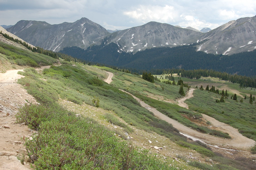 Photo: Herkie, CC BY-SA 2.0 (via Flickr)
Old Tincup Pass Trail
~8 min drive
0.9-mile out-and-back hike in Colorado with 334 ft of elevation gain.
 Photo: kalestews, CC BY 2.0 (via Flickr)
Tigger Peak
~15 min drive
Route to the summit of Tigger Peak (13,272 ft) from Mt Princeton.
 Photo: John Sowell, CC BY-SA 4.0 (via Wikimedia Commons)
South Quartz Trail 483
~15 min drive
5.24-mile out-and-back trail in Colorado with 1,239 ft elevation gain and loss.
Photo: John Sowell, CC BY-SA 4.0 (via Wikimedia Commons)Horseshoe Trail 482
~15 min drive
10.06-mile out-and-back trail in Colorado with 3,605 ft elevation gain and loss.
 Photo: oxtopus, CC BY 2.0 (via Flickr)
Cascade Creek Trail
~11 min drive
0.87-mile loop with 212 ft gain in Colorado's Pike and San Isabel National Forests
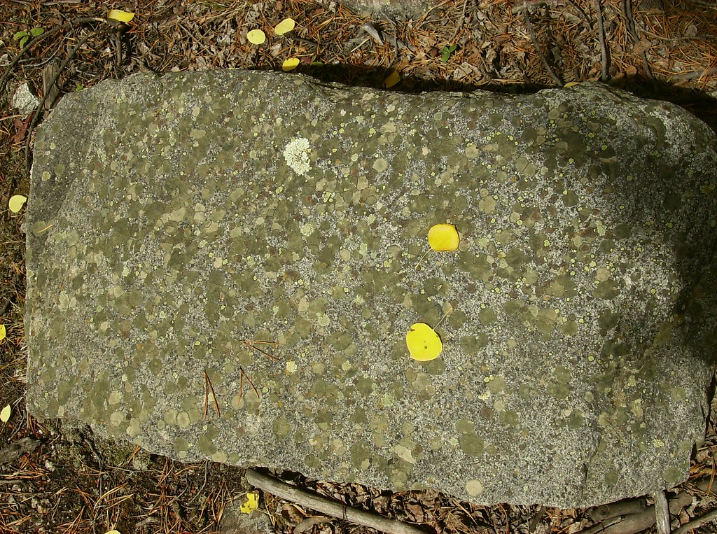 Photo: jaygannett, CC BY-SA 2.0 (via Flickr)
Iron Chest Mine Trail
~0 min drive
5.36-mile out-and-back hike in Colorado with 3,166 ft elevation gain/loss.
 Photo: roy.luck, CC BY 2.0 (via Flickr)
Lost Lake
~13 min drive
3.46-mile out-and-back trail in Colorado's Pike and San Isabel National Forests.
 Photo: wohnai, CC BY 2.0 (via Flickr)
Mount Princeton
~16 min drive
Standard route to Mount Princeton (14,204 ft) from Mt. Princeton Road.
 Photo: Brokentaco, CC BY 2.0 (via Flickr)
Hartenstein Lake
~15 min drive
1.85-mile out-and-back to Hartenstein Lake in Colorado at 11,477 ft.
Photo: John Sowell, CC BY-SA 4.0 (via Wikimedia Commons)Canyon Creek Trail 481
~13 min drive
23.94-mile out-and-back trail in Colorado with 5,240 ft elevation gain/loss.
Also worth it near here
Portable Toilet
~1 min drive
Grizzly Lake
~5 min drive
 Photo: Jeremy White, CC BY 2.0 (via Wikimedia Commons)
Emma Burr Mountain
~7 min drive
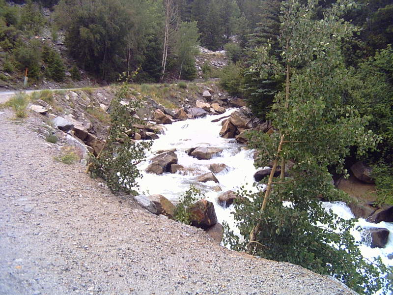 Photo: LanceBarber, CC BY-SA 3.0 (via Wikimedia Commons)
Chalk Creek
~10 min drive
Photo: oxtopus, CC BY 2.0 (via Flickr)Chalk Creek Boulder aka Boulder of Sorrow
~11 min drive
© openrouteservice.org by HeiGIT | Map data © OpenStreetMap contributors
Local operatorsoffering guided trips. You book directly with them — Roamze doesn’t take a cut.
Monarch Spur RV Park
Hiking business nearby (~13 mi away) — hasn't claimed their Roamze page yet
Taylor Park Trading Post
Hiking business nearby (~14 mi away) — hasn't claimed their Roamze page yet
Valley Mobile RV Park
Hiking business nearby (~15 mi away) — hasn't claimed their Roamze page yet
