Winfield Trailhead
Campground
1.3 mi from the trail
 Photo: Jeremiah LaRocco, CC BY-SA 2.0 (via Wikimedia Commons)
Ervin Peak is a summit of about 13,530 feet in Chaffee County, Colorado, on the Leadville Ranger District of the Pike and San Isabel National Forests. The Forest Service manages the land, and the nearest town is Twin Lakes, about 9 miles away. Winfield Trailhead and Crescent Mining Camp are both within about 2 miles, and Quail Mountain and Mount Hope are hikes about 2 miles away.
Where it is: Leadville Ranger District · Pike and San Isabel National Forests
Near: Leadville
Been here? Tell people how it was.
We don't know of a mapped trail or route to the summit of Ervin Peak. Plan the approach with local maps, a guidebook or a local guide, and check conditions before you go.


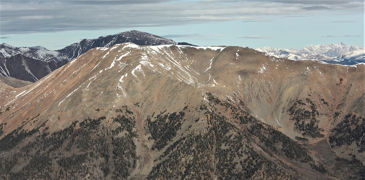
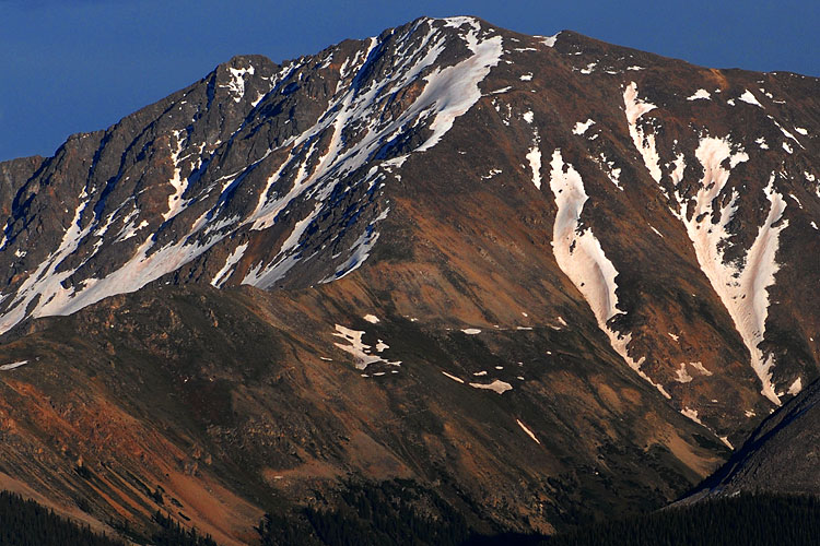

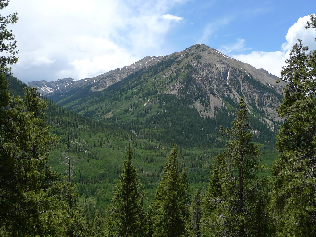 Quail MountainHikingPhoto: jl_2, CC BY-SA 2.0 (via Flickr)1.9 miMount HopeHikingPhoto: jl_2, CC BY-SA 2.0 (via Flickr)1.9 miMount HopeSummitPhoto: Hogs555, CC BY-SA 3.0 (via Wikimedia Commons)~3 min driveRinker PeakSummitPhoto: mark byzewski, CC BY 2.0 (via Wikimedia Commons)~4 min driveQuail MountainSummitPhoto: Jeremiah LaRocco, CC BY-SA 2.0 (via Wikimedia Commons)~4 min driveLa Plata PeakSummitPhoto: Robertbody at English Wikipedia, CC BY 3.0 (via Wikimedia Commons)~4 min driveHuron PeakSummitPhoto: Craig Talbert, CC BY 2.0 (via Wikimedia Commons)~7 min drive
 Missouri MountainSummitPhoto: jokermanj, CC BY 2.0 (via Wikimedia Commons)~9 min drive
 Mount BelfordSummitPhoto: Simpsora, CC BY 3.0 (via Wikimedia Commons)~9 min drive
 Mount OxfordSummitPhoto: David Herrera from Albuquerque, NM, Bernalillo, CC BY 2.0 (via Wikimedia Commons)~10 min drive
 Ice MountainSummitPhoto: Jeremiah LaRocco, CC BY-SA 2.0 (via Wikimedia Commons)~11 min drive
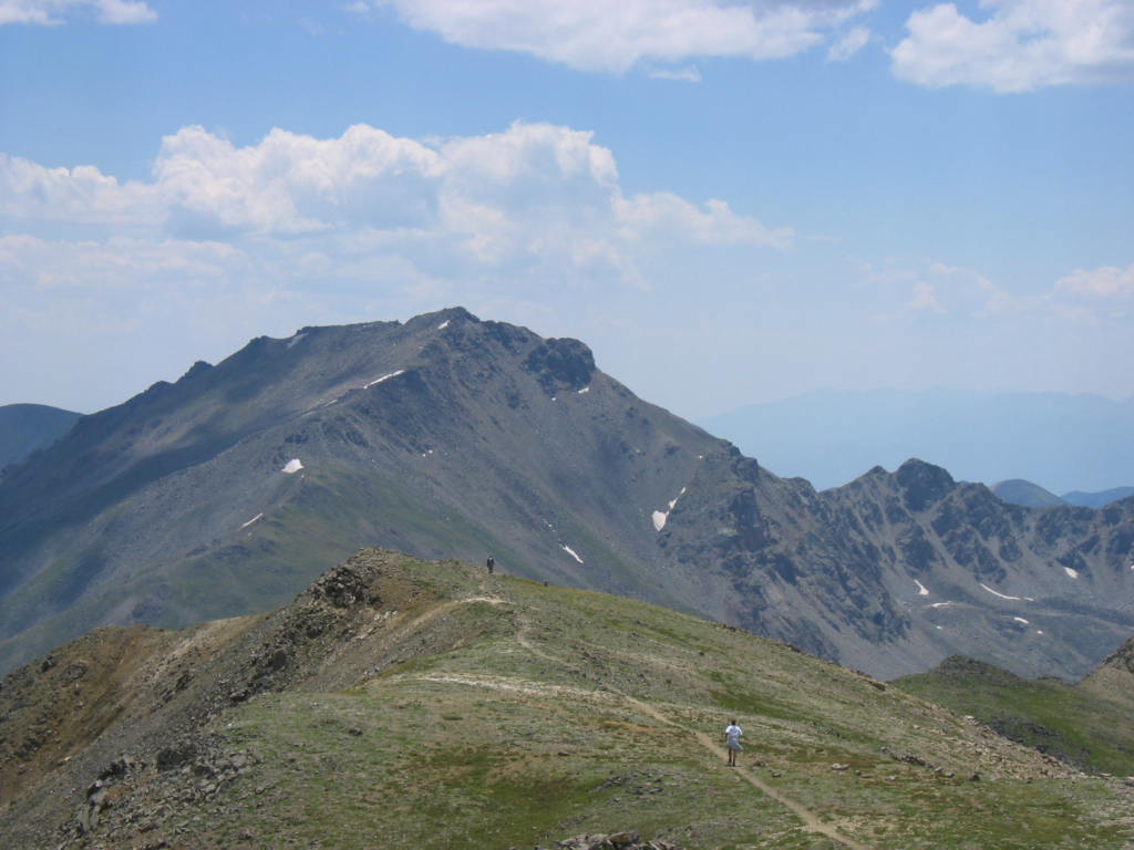 Mount HarvardSummitPhoto: jokermanj, CC BY 2.0 (via Wikimedia Commons)~14 min drive
Daily highs and lows, wind and the chance of precipitation at the summit for the next 7 days, from the Open-Meteo model.
13,530 ft (4,124 m).
We don't know of a mapped trail or route to the summit. Plan the approach with local maps, a guidebook or a local guide.
Questions about Ervin Peak: conditions, access, timing. Answers say when something isn't known.
Winfield Trailhead
Campground
 If it rainsLongled, CC BY-SA 3.0 · Wikimedia Commons
Historic frontier synagogue building
Places © OpenStreetMap contributors, Places © Overture Maps Foundation · Photos: Longled, CC BY-SA 3.0 (commons)
More in Leadville