Ruth's Ridge
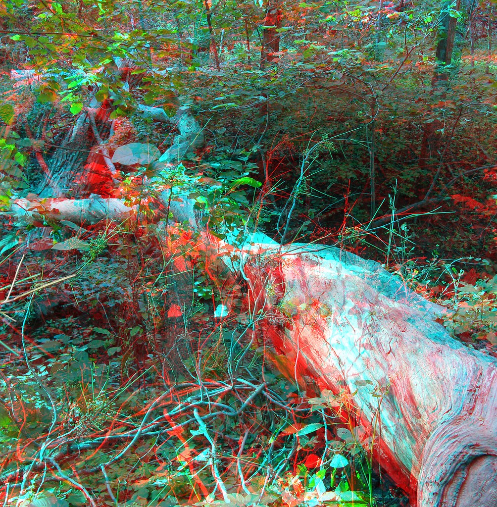 Photo: jimf0390, CC BY 2.0 (via Flickr)
At a glance
Ruth's Ridge is an easy hike in Stone State Park in northwest Iowa, about 0.3 miles from the town of Mount Lucia. The State Department of Natural Resources manages the land, and the trail is an out-and-back of about 1.2 miles with a total elevation gain of 140 feet, from a low of about 1,199 feet to a high of about 1,372 feet. The most comfortable months for a visit are typically late spring and early fall. Typical averages from a nearby weather station in Sioux City show May highs around 72°F and September highs around 77°F, with July the warmest month at about 86°F. Horses are allowed on the trail, but bikes are not. Several other short hikes sit within a few tenths of a mile, including Loess, Broken Toe and Mark's Glen.
- round trip
- 0.6 mi
- climb
- 140 ft
- high point
- 1,372 ft
- route
- Out and back
- best months
- Early Apr–early Jun, early Sep–early Nov
Where it is: Stone State Park
Near: Sioux City
Best weeks to go
Early April to early June and early September to early November are usually best for hiking here.
Typical highs of 55–80°F and lows of 30°F or warmer in those weeks.
Typical weather: NOAA 1991–2020 normals at Sioux City Ang, IA, 11 mi away. Not a forecast.
Typical weather by monthBest time to visit Ruth's Ridge
Best months: April–May and September–October. Best months are the ones mostly made of the best weeks for hiking: typical temperatures in its comfortable range, few snowy days and not usually wet, judged with the same limits as our good-day forecasts.
Jan
30°
9°
Feb
35°
13°
Mar
47°
24°
Apr
61°
35°
May
72°
47°
Jun
82°
58°
Jul
86°
63°
Aug
83°
61°
Sep
77°
51°
Oct
64°
37°
Nov
47°
24°
Dec
34°
14°
Typical high / low (°F) and days with rain or snow, 1991–2020. Measured at Sioux City Ang, IA, 11 mi away at 1,100 ft. This station doesn't record snowfall. Source: NOAA NCEI U.S. Climate Normals 1991–2020.
Been here? Tell people how it was.
 LoessHikingPhoto: Tony Webster, CC BY-SA 2.0 (via Flickr)0.1 mi
- Broken ToeHiking0.2 mi
 Mark's GlenHikingPhoto: jimf0390, CC BY 2.0 (via Flickr)0.3 mi
 LongfootHikingPhoto: mrsdkrebs, CC BY 2.0 (via Flickr)0.3 mi
- Mount LuciaHiking0.3 mi
- Hidden ValleyHiking0.4 mi
- Big SiouxHikingPhoto: Tony Webster, CC BY-SA 2.0 (via Flickr)0.4 mi
- BluestemHiking0.5 mi
- LoessHikingPhoto: Tony Webster, CC BY-SA 2.0 (via Flickr)Next door
- River LoopHiking~6 min drive
- Mark's GlenHikingPhoto: jimf0390, CC BY 2.0 (via Flickr)Next door
- LongfootHikingPhoto: mrsdkrebs, CC BY 2.0 (via Flickr)Next door
- Big SiouxHikingPhoto: Tony Webster, CC BY-SA 2.0 (via Flickr)Next door
- Whitetail RidgeHikingPhoto: Tony Webster, CC BY-SA 2.0 (via Flickr)Next door
 Fox RunHikingPhoto: Tony Webster, CC BY 2.0 (via Flickr)Next door
- Buzzard RoostHikingPhoto: mrsdkrebs, CC BY 2.0 (via Flickr)Next door
- Deer RunHikingPhoto: Tony Webster, CC BY 2.0 (via Flickr)~1 min drive
- Buffalo RunHikingPhoto: mrsdkrebs, CC BY 2.0 (via Flickr)~1 min drive
Conditions and forecast
Daily highs and lows, wind and the chance of precipitation at Start for the next 7 days, from the Open-Meteo model.

Ask about this place
Questions about Ruth's Ridge: conditions, access, timing. Answers say when something isn't known.
