Free — you'll pick up right here.
Watch this trail
Sign up to watch it — saving subscribes you to gate, closure and report changes.
Iowa
Broken Toe
2.0 mi
Distance
248 ft
Gain
We don't cover this trail yet
No agency boundary, access route or field report is mapped to it — so there is no verdict, and we won't guess. We'll tell you the moment this trail has something to say.
Nobody's filed a report here yet — be the first.
Why you'll love it
Here's your day, mapped
Broken Toe
AI-suggested draft · review before you go
Meals
Gear for the day
Elevation & route
- Distance
- 2.0 mi
- Elevation gain
- 248 ft
- Highest point
- 1,413 ft
- Lowest point
- 1,232 ft
Photos
Directions & GPX
Permits & access
- Managing agency
- State Department of Natural Resources
- Bikes
- no
About this trail
Broken Toe is a 2.03-mile out-and-back trail in Iowa with 248 feet of elevation gain. The trail reaches a maximum elevation of 1,413 feet.
Add to a trip & share
Keep exploring — more trails worth the drive
Mark's Glen
~0 min drive
0.50-mile out-and-back trail in Iowa with 135 ft of elevation gain.
River Loop
~6 min drive
Scenic 5.48-mile point-to-point river trail in South Dakota.
Overlook Trail
~23 min drive
0.78-mile out-and-back trail in Nebraska with 134 ft gain.
Ruth's Ridge
~0 min drive
0.60-mile out-and-back trail in Iowa with 140 ft of elevation gain
Bigley's Ravine Trail
~23 min drive
0.41-mile loop with 97 ft gain in Nebraska's Bigley's Ravine.
Mount Lucia
~0 min drive
0.93-mile out-and-back trail in Iowa with 207 ft elevation gain.
Whitetail Trail
~24 min drive
1.02-mile loop trail in Nebraska with 167 ft elevation gain.
Loess
~0 min drive
0.50-mile out-and-back trail in Iowa with 127 ft elevation gain.
Loess Hill Loop
~24 min drive
0.95-mile loop trail in Nebraska with 114 ft of elevation gain.
Hidden Valley
~1 min drive
0.37-mile out-and-back trail in Iowa with 77 ft of elevation gain.
Also worth it near here
 Photo: Tony Webster — CC BY 2.0 (via Flickr)
Stone State Park Campground
~2 min drive
Missouri River
~24 min drive
Mill Site River Access
~30 min drive
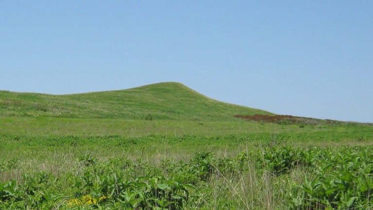 Photo: KevinOKeeffe, CC0 (via Wikimedia Commons)
Spirit Mound
~59 min drive
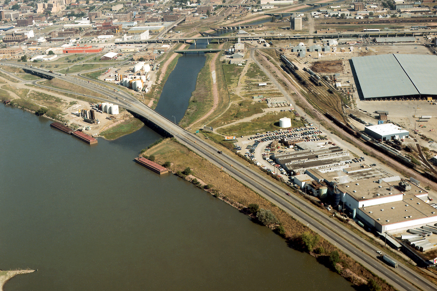 Photo: Robert Etzel, U.S. Army Corps of Engineers, Public domain (via Wikimedia Commons)
Floyd River
~1h 15m drive
