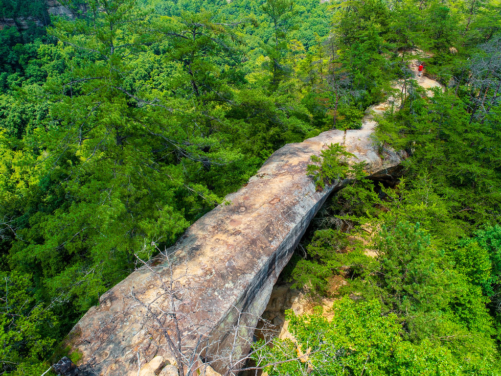
Wolfe County Dispersed Rec. Sites
Campground
3.1 mi from the trail
Doorish Wall is a Kentucky climbing destination offering rock climbing opportunities in a natural outdoor setting. The crag provides varied climbing experiences suitable for different skill levels and climbing styles. Its accessible location makes it a popular choice for climbers looking to develop their skills on genuine rock.
Near: Stanton
Best months: August–November. Best months have typical highs of 55–85 °F, lows of 30 °F or warmer (32 °F where the station doesn't record snow), at most one snowy day and no more than 12 wet days.
Jan
42°
24°
13 wet
Feb
47°
27°
13 wet
Mar
57°
34°
15 wet
Apr
68°
44°
15 wet
May
75°
53°
15 wet
Jun
82°
61°
14 wet
Jul
84°
65°
14 wet
Aug
84°
64°
12 wet
Sep
79°
57°
10 wet
Oct
69°
44°
12 wet
Nov
57°
35°
12 wet
Dec
46°
28°
13 wet
Typical high / low (°F) and days with rain or snow, 1991–2020. Measured at Beattyville 4n, KY, 15.6 mi away at 1,080 ft. This station doesn't record snowfall. Source: NOAA NCEI U.S. Climate Normals 1991–2020.
Been here? Tell people how it was.
 Moonshiner's WallRock climbingPhoto: US Forest Service - Southern Region, Public Domain Mark (via Flickr)Next door
 Hen's Nest RockRock climbingPhoto: US Forest Service - Southern Region, Public domain (via Wikimedia Commons)~2 min drive
 Eastern Sky Bridge RidgeRock climbingPhoto: US Forest Service - Southern Region, Public Domain Mark (via Flickr)~2 min driveEastern Skybridge RidgeRock climbingPhoto: US Forest Service - Southern Region, Public Domain Mark (via Flickr)~2 min driveBuzzard's RoostRock climbingPhoto: US Forest Service - Southern Region, Public Domain Mark (via Flickr)~2 min drive
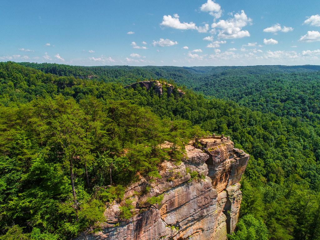 Princess ArchRock climbingPhoto: US Forest Service - Southern Region, Public Domain Mark (via Flickr)~5 min drive
 Half MoonRock climbingPhoto: US Forest Service - Southern Region, Public Domain Mark (via Flickr)~5 min drive
 Window WallRock climbingPhoto: karen roussel, CC0 (via Flickr)~6 min drive
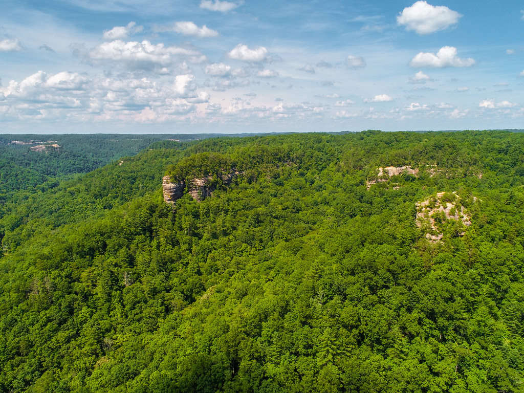 Pinch-em Tight RidgeRock climbingPhoto: US Forest Service - Southern Region, Public Domain Mark (via Flickr)~6 min drive
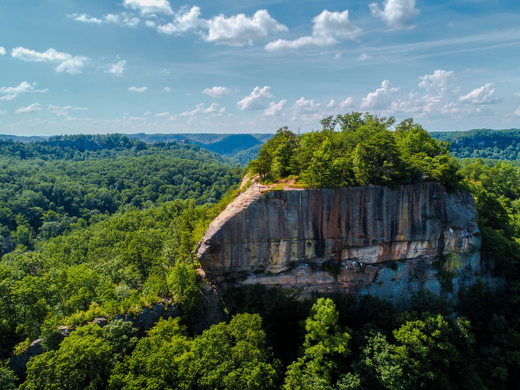 Tarr RidgeRock climbingPhoto: US Forest Service - Southern Region, Public Domain Mark (via Flickr)~9 min drive
Daily highs and lows, wind and the chance of precipitation at Doorish Wall for the next 7 days, from the Open-Meteo model.
Questions about Doorish Wall: conditions, access, timing. Answers say when something isn't known.
Wolfe County Dispersed Rec. Sites
Campground
Wolfe County Cooperative Extension Service
Museum
Places © OpenStreetMap contributors
More in StantonNo routes catalogued here yet
We have this crag's location and access details, but not its individual climbs. Routes appear here as our sources add them.
The map shows other climbing nearby, or browse more crags.
Map and trail data © OpenStreetMap contributors
