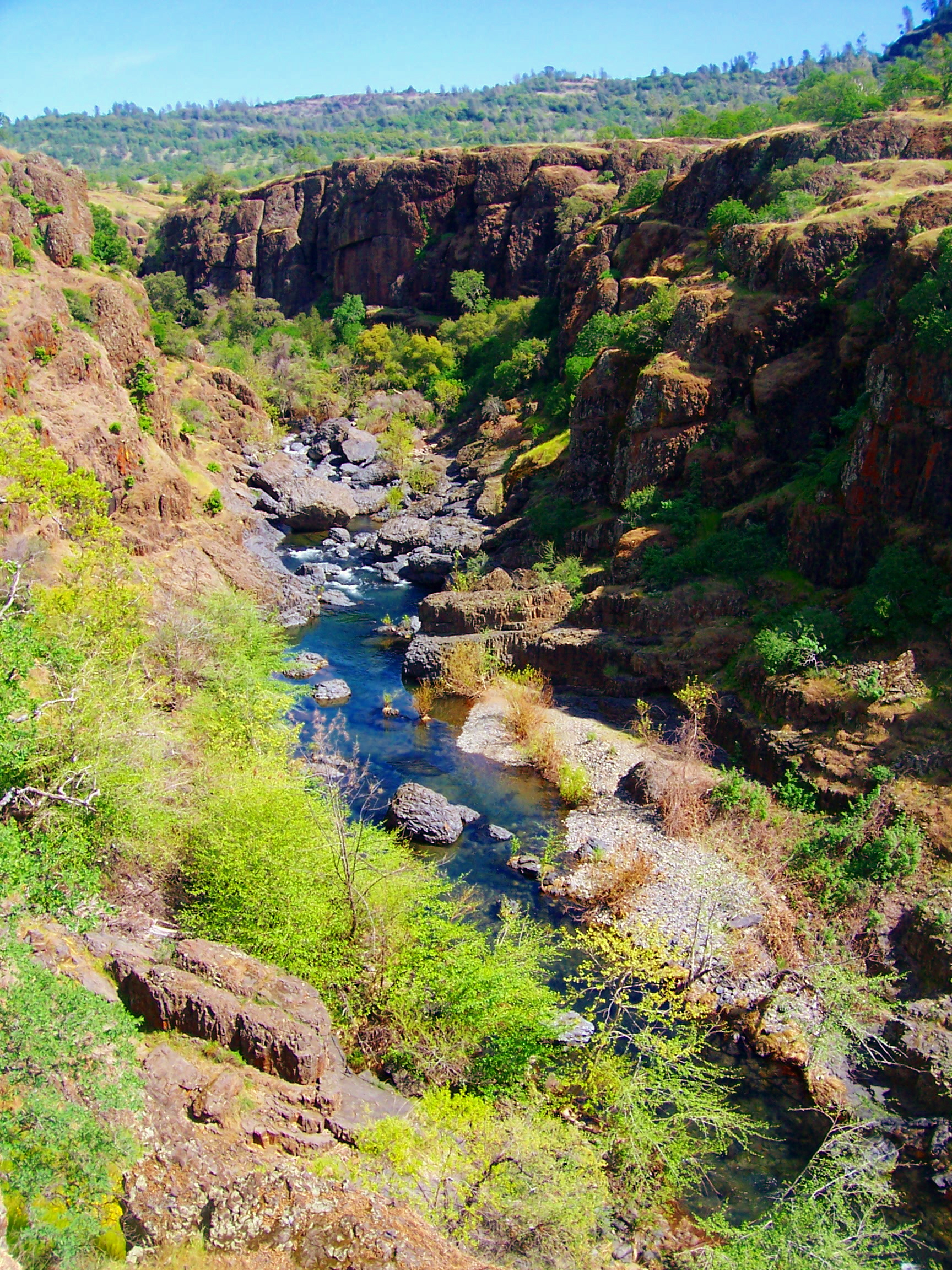
Deep Hole Tie Ishi
California
Free — you'll pick up right here.
1.9 mi
Distance
1,404 ft
Gain
We don't cover this trail yet
No agency boundary, access route or field report is mapped to it — so there is no verdict, and we won't guess. We'll tell you the moment this trail has something to say.
Covered nearby
Trails within 25 miles where we do have a current picture.
Nobody's filed a report here yet — be the first.
Why you'll love it
Here's your day, mapped
Deep Hole Tie Ishi
Suggested plan · check conditions before you go
Meals
Gear for the day
Elevation & route
- Distance
- 1.9 mi
- Elevation gain
- 1,404 ft
Photos
Directions & GPX
Permits & access
- Managing agency
- Forest Service
About this trail
Deep Hole Tie Ishi is a 3.76-mile out-and-back trail in California managed by the Forest Service. The route gains 1,404 feet of elevation.
Facts about this trail
The climb
- Length (round trip)
- 3.8 mi
- Shape
- Out and back
Source: Roamze elevation profile and trail geometry (DEM samples along the mapped route)
Where it is
- Ishi Wilderness · Wilderness
- Almanor Ranger District · Ranger district
- Lassen National Forest · National forest
Conditions
Active alerts for Lassen National Forest as of Oct 9, 2026:
SAFETY ALERT - South Antelope Bridge out, Do Not Cross
critical · posted Aug 24, 2026
critical · posted Aug 24, 2026
Lassen National Forest Camping Restrictions
information · posted Aug 24, 2026
Lake Almanor Area Camping Restriction
information · posted Aug 24, 2026
Lake Almanor Recreational Trail Restriction
information · posted Aug 24, 2026
Source: USFS forest alerts
Nearby
- BUENA VISTA TRAIL ISHIHiking0.1 mi
- Deer CreekCanoeing0.5 mi
- DEER CREEK ISHIHiking1.5 mi
- Lassen Trail IshiHiking2.8 mi
- MoakHiking3 mi
- Black RockCamping6.7 mi
- Mill, TheRock climbing7 mi
- Mill CreekCanoeing7.8 mi
Source: Roamze catalog (indexable pages within 10 miles, PostGIS distance)
Add to a trip & share
Keep exploring — more trails worth the drive
 Photo: g.bertschinger, CC BY-SA 2.0 (via Flickr)
Mill Creek
~12 min drive
0.71-mile out-and-back trail at Mill Creek in California with 141 ft of elevation gain.
Photo: g.bertschinger, CC BY-SA 2.0 (via Flickr)Boat Gunwale Tie Ishi
~11 min drive
4.24-mile out-and-back trail in California with 631 ft gain.
Deer Creek Ishi
~6 min drive
10.92-mile out-and-back trail in California with 1,073 ft elevation gain.
Grahams Pinery
~6 min drive
7.98-mile out-and-back trail in California with 2,176 ft gain
Buena Vista Trail
~13 min drive
28.12-mile out-and-back hike in California with 3,895 ft elevation gain
Lassen Trail Ishi
~5 min drive
2.14-mile out-and-back trail in California with 272 ft gain.
Photo: g.bertschinger, CC BY-SA 2.0 (via Flickr)MILL CREEK
~11 min drive
3.92-mile out-and-back trail in California with 1,394 ft elevation gain and loss.
Payne Spring Cabin
~12 min drive
0.92-mile out-and-back trail to Payne Spring Cabin in California
Mcclure Trail
~23 min drive
10.85-mile out-and-back trail in California with 780 ft gain
Lassen Trail
~17 min drive
20.66-mile out-and-back trail in California with 2,638 ft elevation gain