Council Bluff Recreation Area
- Mar–Jun, Aug–Oct
- best months
Is Council Bluff Recreation Area open right now?
Alert in the area
The Forest Service lists 10 alerts for Mark Twain National Forest.
Crane Lake Dam
Agency alert covering Mark Twain National Forest · USFS · Mark Twain National Forest
Delays on Forest Road 557
Agency alert covering Mark Twain National Forest · USFS · Mark Twain National Forest
Forest Order - Trail 119 Closure Extended (Chadwick Motorized Trail System)
Agency alert covering Mark Twain National Forest · USFS · Mark Twain National Forest
Weather Conditions
Agency alert covering Mark Twain National Forest · USFS · Mark Twain National Forest
Red Bridge Road - Bridge Closure
Agency alert covering Mark Twain National Forest · USFS · Mark Twain National Forest
As of · Source: USFS · Mark Twain National Forest. Agencies don't list every closure — check before you go.
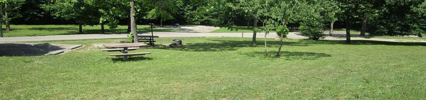
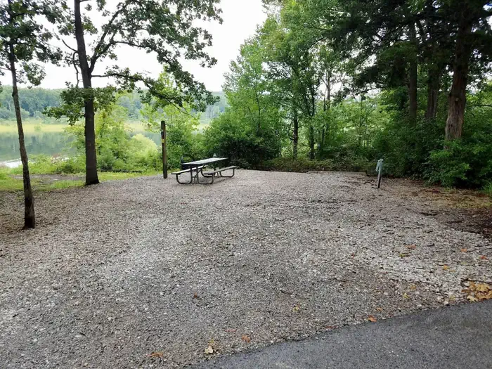
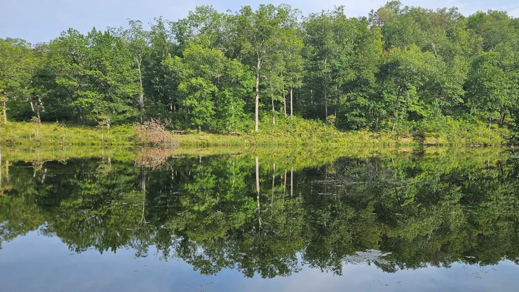
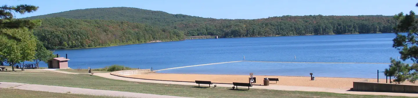
Overview The Council Bluff Recreation Area is perfect for anyone looking to enjoy the outdoors. The Wild Boar Campground and sheltered picnic area, available for individual families or large groups, is next to the largest lake in the Mark Twain National Forest. The area provides ample opportunities for camping, picnicking, hiking, fishing, swimming and more.Recreation Boating is a popular pastime on the lake, but all boats on the lake must operate at a no-wake speed. Visitors can access the water via the two boat ramps located at the lake. Canoeing, swimming and fishing are also available. Anglers can expect a catch of a variety of freshwater fish, including bass bluegills, catfish and crappies. The 12-mile Council Bluff Trail encircles the lake, with spurs to the campground. Hikers can enjoy scenic views of the lake and a look at the Mark Twain wilderness. Waterfowl hunting is permitted on Council Bluff Lake and the nearby Enough Fields provide upland game opportunities. A variety of wildlife makes its home in the heavily wooded area.Facilities The Wild Boar Ridge Campground offers multiple single-family, large group and walk-in sites, available for tent and RV camping. Each is equipped with tables, lantern posts and campfire rings or campfire circles, with grills. The large group sites can accommodate up to 50 people and a nearby picnic pavilion can hold up to 75. The pavilion is paved, with a roof overhead and is equipped with multiple tables and grills. Accessible vault toilets and drinking water are provided. Electricity is not available, but some sites will accommodate RVs up to 40 feet in length. Some sites are available on a first-come, first-served basis. The beach provides accessible flush toilets, drinking water and coin-operated showers. A small play area with a slide and climbing structure is adjacent to the beach.Natural Features Located in southern Missouri, the Council Bluff Lake was created by a dam across Big River. It is 440 acres in size and 87 feet deep in some places. The Chapel Hill Beach is at the eastern end of the campground and provides 54,000 square-feet of sandy beach. Visitors can either walk or drive to the lake. Nearby Attractions The Trace Creek section of the Ozark Trail is located just west of the recreation area.
- Council Bluff Connnector TrailHiking1 mi
- Council Bluff (Wbr) CgCamping1 mi
- Wild Boar West Connector TrailHiking1.1 mi
- Council Bluff TrailHiking2.3 mi
- Middle Fork Black RiverCanoeing5.7 mi
- Big RiverCanoeing7.6 mi
- Cedar CreekCanoeing8.5 mi
- Hazel CreekCamping9.8 mi
Source: Roamze catalog (indexable pages within 10 miles, PostGIS distance)
- Bluff View(clearwater Lake)Lake fishing · ~1h 4m drive
- Sutton Bluff Recreation AreaRiver fishing · ~28 min drive
- Loggers Lake CampgroundPier fishing · ~50 min drive
- Clearwater LakeLake fishing · ~1h 6m drive
- Maramec Spring BranchRiver fishing · ~1h 3m drive
- Parole LakeLake fishing · ~17 min drive
- Highway KRiver fishing · ~48 min drive
- Current RiverRiver fishing · ~1h 9m drive
- Hillview LakeLake fishing · ~21 min drive
- Round SpringRiver fishing · ~1h 7m drive
Best time to visit Council Bluff Recreation Area
Best months: March–June and August–October. Best months have typical highs of 55–85 °F, lows of 30 °F or warmer (32 °F where the station doesn't record snow), at most one snowy day and no more than 12 wet days.
Jan
40° / 21°
8 wet
Feb
45° / 25°
8 wet
Mar
55° / 33°
10 wet
Apr
66° / 44°
11 wet
May
74° / 54°
12 wet
Jun
82° / 63°
10 wet
Jul
86° / 67°
9 wet
Aug
85° / 65°
8 wet
Sep
78° / 57°
7 wet
Oct
68° / 46°
9 wet
Nov
54° / 35°
8 wet
Dec
43° / 26°
8 wet
Typical high / low (°F) and days with rain or snow, 1991–2020. Measured at Potosi 4 Sw, MO, 14 mi away at 1,105 ft. This station doesn't record snowfall. Source: NOAA NCEI U.S. Climate Normals 1991–2020.