Copper Mountain
 Photo: Famartin, CC BY-SA 3.0 (via Wikimedia Commons)
At a glance
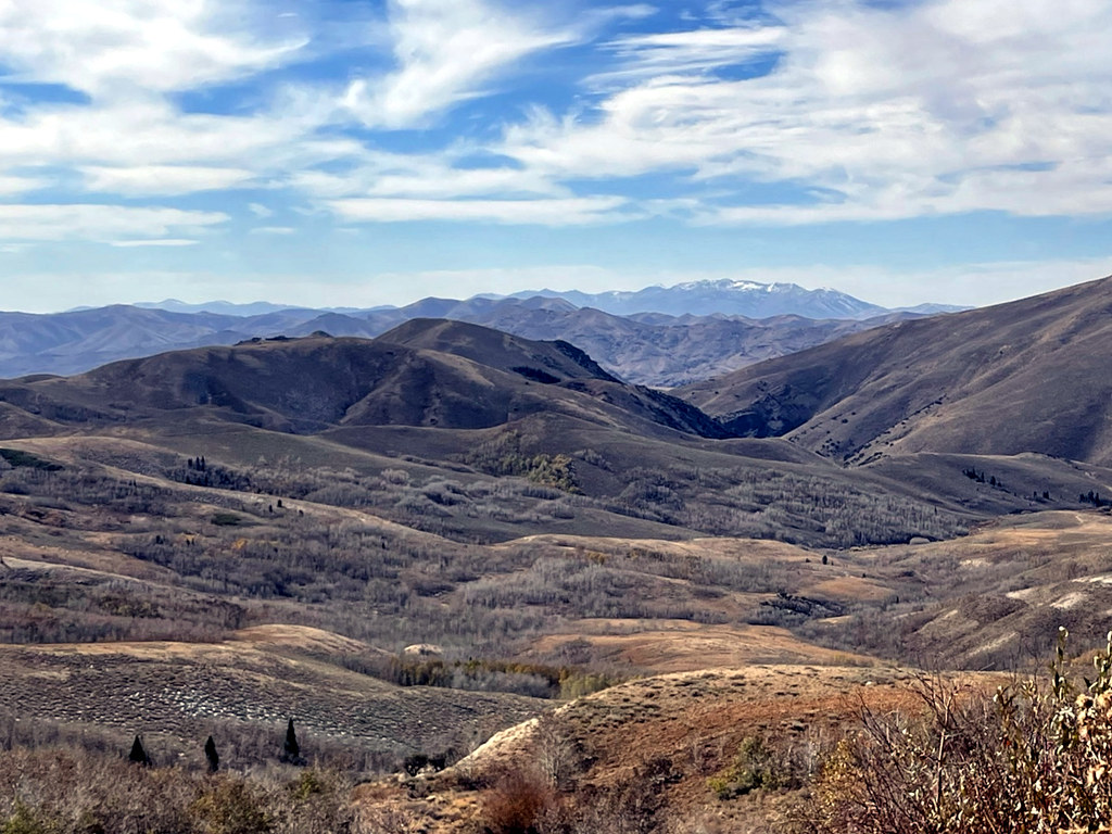
Copper Mountain is a summit of about 9,914 feet in Elko County, Nevada, within the Humboldt-Toiyabe National Forest's Mountain City-Ruby Mountains-Jarbidge Ranger District. The Forest Service manages the land, and the nearest town is Jarbidge, about 8.6 miles away. Coon Creek, Pine Creek and Danger Trail are hikes within about 3 miles of the peak. Pine Creek Campground sits roughly 6.6 miles away for anyone looking to camp nearby.
- summit
- 9,914 ft
- managed by
- Forest Service
Where it is: Mountain City-Ruby Mountains-Jarbidge Ranger District · Humboldt-Toiyabe National Forest
Near: Jackpot
Been here? Tell people how it was.
We don't know of a mapped trail or route to the summit of Copper Mountain. Plan the approach with local maps, a guidebook or a local guide, and check conditions before you go.
- Coon CreekHiking2.3 mi
 Pine CreekHikingPhoto: simonov, CC BY-SA 2.0 (via Flickr)2.9 mi
- Danger TrailHiking3.2 mi
- Pine Creek CampgroundCamping6.6 mi
- Lower Bluster CampgroundCamping6.9 mi
- Upper Bluster CampgroundCamping7 mi
- Jarbidge RiverRiver fishing8 mi
 Bruneau RiverCanoeingPhoto: BLM, Public domain (via Wikimedia Commons)8.1 mi
Conditions and forecast
Daily highs and lows, wind and the chance of precipitation at the summit for the next 7 days, from the Open-Meteo model.
Questions about Copper Mountain
How tall is Copper Mountain?
9,914 ft (3,022 m).
Is there a trail to the top of Copper Mountain?
We don't know of a mapped trail or route to the summit. Plan the approach with local maps, a guidebook or a local guide.


Ask about this place
Questions about Copper Mountain: conditions, access, timing. Answers say when something isn't known.
