Coolers Knob Mountain
At a glance
Coolers Knob Mountain is a summit of 940 feet in the Birkhead Mountains Wilderness, part of the Uwharrie Ranger District of the National Forests in North Carolina. The nearest town is Asheboro, about 8 miles away. Spring and fall are the most comfortable times to visit. Typical averages from a nearby weather station in Asheboro show October highs around 71°F with lows near 48°F, and April highs around 72°F. That station sits at a similar elevation to the summit, so temperatures on the knob should run about the same. The Birkhead Mountain Trail starts less than a mile away, and the Camp 3 Trail and Robbins Branch Trail are both within about 2 miles. For paddling, the Little River is roughly 7.6 miles off.
- summit
- 940 ft
- ways up
- 2
- best months
- Mar–Jun, Sep–Nov
Where it is: Birkhead Mountains Wilderness · Uwharrie Ranger District
Near: Asheboro · 8 mi
Best time to visit Coolers Knob Mountain
Best months: March–June and September–November. Best months have typical highs of 55–85 °F, lows of 30 °F or warmer (32 °F where the station doesn't record snow), at most one snowy day and no more than 12 wet days.
Jan
50°
29°
11 wet
Feb
54°
32°
10 wet
Mar
62°
39°
11 wet
Apr
72°
47°
10 wet
May
78°
55°
11 wet
Jun
85°
63°
11 wet
Jul
88°
67°
12 wet
Aug
87°
66°
11 wet
Sep
81°
60°
9 wet
Oct
71°
48°
9 wet
Nov
61°
38°
9 wet
Dec
53°
32°
11 wet
Typical high / low (°F) and days with rain or snow, 1991–2020. Measured at Asheboro 2 W, NC, 7 mi away at 870 ft. This station doesn't record snowfall. Source: NOAA NCEI U.S. Climate Normals 1991–2020.
Been here? Tell people how it was.
- Birkhead Mountain TrailModerateabout 1,029 ft of climbing7.3 mi round trip
- BIRKHEAD MOUNTAINModerateabout 1,334 ft of climbing9.8 mi round trip
Compare the routes Birkhead Mountain Trail BIRKHEAD MOUNTAIN Climbing About 1,029 ft About 1,334 ft Round trip 7.3 mi 9.8 mi Difficulty Moderate Moderate Terrain Hike Hike Map © Mapbox © OpenStreetMap contributors - King Mountain1,009 ft · North Carolina1 route7.8 mi away
- Middle Mountain830 ft · North Carolina1 route8.1 mi away
- Little Long Mountain923 ft · North Carolina1 route8.8 mi away
- Bunnel Mountain612 ft · North Carolina1 route14 mi away
- Daniel Mountain871 ft · North Carolina1 route16 mi away
- Bald Mountain950 ft · North Carolina1 route17 mi away
 Pisgah HillSummitPhoto: EmCnNC, CC BY-SA 3.0 (via Wikimedia Commons)~59 min drive
- King MountainSummit~13 min drive
- Middle MountainSummit~14 min drive
- Little Long MountainSummit~15 min drive
- Horse MountainSummit~20 min drive
- Bunnel MountainSummit~24 min drive
- Daniel MountainSummit~28 min drive
- Bald MountainSummit~29 min drive
- Lick MountainSummit~32 min drive
- Fall MountainSummit~32 min drive
Also worth it near here
 Little Long Mountain ShelterCampingPhoto: Ken Thomas, Public domain (via Wikimedia Commons)~15 min drive
- Helen's LoopMountain biking~24 min drive
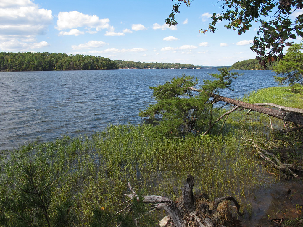 GREG'S LOOPHikingPhoto: pmuellr, CC BY 2.0 (via Flickr)~25 min drive
 Deep RiverCanoeingPhoto: Burnie Batchelor, Photographer, Public domain (via Wikimedia Commons)~26 min drive
Conditions and forecast
Caution todayAgency alerts are in effect for this area; a fire perimeter is near this locationUSFS, nifc_wfigs · checked 10 min agoDaily highs and lows, wind and the chance of precipitation at the summit and route start for the next 7 days, from the Open-Meteo model.
Questions about Coolers Knob Mountain
How tall is Coolers Knob Mountain?
940 ft (287 m).
How many routes go to the summit of Coolers Knob Mountain?
2: Birkhead Mountain Trail and BIRKHEAD MOUNTAIN.
What is the shortest route up Coolers Knob Mountain?
Birkhead Mountain Trail, about 7.3 mi round trip.
Ask about this place
Questions about Coolers Knob Mountain: conditions, access, timing. Answers say when something isn't known.
