Mary E Campground
Campground
0.9 mi from the trail
Coal Chutes is a 1.34-mile loop trail in Colorado managed by the Forest Service. The route follows a loop shape through the Colorado backcountry.
Near: Telluride
Best months: June–July and September. Best months have typical highs of 55–85 °F, lows of 30 °F or warmer (32 °F where the station doesn't record snow), at most one snowy day and no more than 12 wet days.
Jan
36°
0°
10 wet
Feb
38°
5°
9 wet
Mar
44°
13°
10 wet
Apr
51°
22°
9 wet
May
60°
29°
9 wet
Jun
73°
34°
7 wet
Jul
77°
41°
12 wet
Aug
74°
40°
15 wet
Sep
68°
34°
11 wet
Oct
57°
23°
8 wet
Nov
45°
13°
8 wet
Dec
36°
2°
9 wet
Typical high / low (°F) and days with rain or snow, 1991–2020. Measured at Telluride 4wnw, CO, 2.1 mi away at 8,646 ft. We don't have this place's elevation, so higher spots nearby can run cooler. This station doesn't record snowfall. Source: NOAA NCEI U.S. Climate Normals 1991–2020.
Been here? Tell people how it was.
 WampusMountain bikingPhoto: Miles Buddy, CC BY-SA 3.0 (via Wikimedia Commons)~6 min drive
 WasatchMountain bikingPhoto: Miles Buddy, CC BY-SA 3.0 (via Wikimedia Commons)~9 min driveEast Fork Bear CreekMountain bikingPhoto: Miles Buddy, CC BY-SA 3.0 (via Wikimedia Commons)~9 min drive
 Magic MeadowsMountain bikingPhoto: Jeffrey Beall, CC BY 4.0 (via Wikimedia Commons)~5 min driveValley FloorMountain bikingPhoto: Miles Buddy, CC BY-SA 3.0 (via Wikimedia Commons)~7 min driveAlta LakesMountain bikingPhoto: Jeffrey Beall, CC BY 4.0 (via Wikimedia Commons)~7 min driveAltaMountain bikingPhoto: Jeffrey Beall, CC BY 4.0 (via Wikimedia Commons)~7 min drive
 Jud Wiebe Memorial TrailMountain bikingPhoto: dmtilley, CC BY 3.0 (via Wikimedia Commons)~9 min drive
Also worth it near here
 BoulevardCross-country skiingPhoto: Ken Lund from Reno, Nevada, USA, CC BY-SA 2.0 (via Wikimedia Commons)~3 min drive
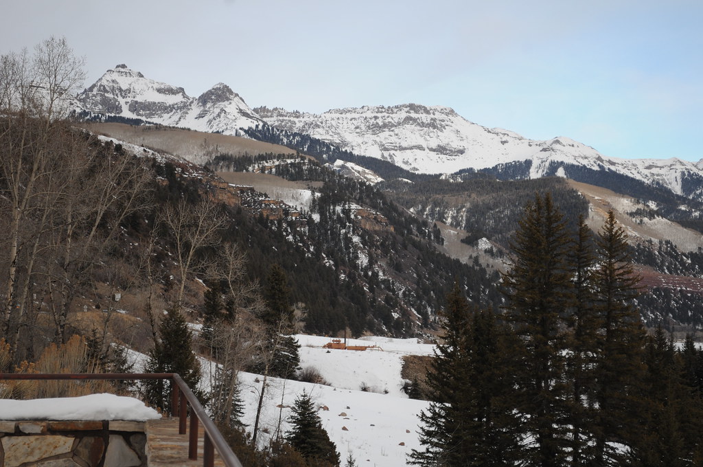 Penelope's TrailHikingPhoto: Chiara Coetzee, Public Domain Dedication (CC0) (via Flickr)~3 min drive
 Telluride Ski AreaDownhill skiingPhoto: Murray Foubister, CC BY-SA 2.0 (via Wikimedia Commons)~6 min drive
Daily highs and lows, wind and the chance of precipitation at Start for the next 7 days, from the Open-Meteo model.
Questions about Coal Chutes: conditions, access, timing. Answers say when something isn't known.
Mary E Campground
Campground
Telluride Arts District
Gallery
Places © OpenStreetMap contributors, Places © Overture Maps Foundation
More in TellurideNot on Roamze yet. Their page has how to reach them.
