Cemetery Hill
At a glance
Cemetery Hill is a summit in Pennsylvania, rising to 628 feet about 0.8 miles from the town of Gettysburg. Its elevation is modest, and its closeness to town makes it an easy addition to a day spent exploring the Gettysburg area. For comfortable weather, aim for late spring or early fall. Typical averages from a nearby weather station show May highs around 73°F and September highs around 78°F, with July the warmest month at about 86°F. Several other outdoor spots sit within a short drive. Rock Creek, a canoeing route, is about 1.2 miles away, and the Wheatfield Trail and Little Round Top Sidewalk are both within about 2 miles. Climbers can head to Devils Den, Main, roughly 2 miles off.
- summit
- 628 ft
- best months
- Apr–Jun, Aug–Nov
Near: Gettysburg · 0.8 mi
Best time to visit Cemetery Hill
Best months: April–June and August–November. Best months have typical highs of 55–85 °F, lows of 30 °F or warmer (32 °F where the station doesn't record snow), at most one snowy day and no more than 12 wet days.
Jan
40°
21°
8 wet
Feb
43°
22°
7 wet
Mar
52°
30°
9 wet
Apr
64°
40°
10 wet
May
73°
49°
11 wet
Jun
82°
57°
10 wet
Jul
86°
63°
9 wet
Aug
85°
61°
8 wet
Sep
78°
54°
8 wet
Oct
66°
43°
8 wet
Nov
56°
32°
8 wet
Dec
45°
26°
8 wet
Typical high / low (°F) and days with rain or snow, 1991–2020. Measured at Eisenhower Nhs, PA, 1 mi away at 540 ft. This station doesn't record snowfall. Source: NOAA NCEI U.S. Climate Normals 1991–2020.
Been here? Tell people how it was.
We don't know of a mapped trail or route to the summit of Cemetery Hill. Plan the approach with local maps, a guidebook or a local guide, and check conditions before you go.
- Culps Hill631 ft · Pennsylvania1 route0.6 mi away
- Little Round Top668 ft · Pennsylvania2 routes1.9 mi away
- Round Top783 ft · Pennsylvania2 routes2.3 mi away
- Quincy Mountain1,737 ft · Pennsylvania1 route17 mi away
 Chimney Rock1,397 ft · Maryland2 routes17 mi awayPhoto: Unknown authorUnknown author or not provided, Public domain (via Wikimedia Commons)
- Straight Hill611 ft · Pennsylvania1 route25 mi away
- Rock CreekCanoeing1.2 mi
- Wheatfield TrailHiking1.8 mi
- Little Round Top SidewalkHiking2 mi
 Devils Den, MainRock climbingPhoto: Ron Shawley, CC BY 3.0 (via Wikimedia Commons)2 mi
 Plum RunRock climbingPhoto: Ron Shawley, CC BY 3.0 (via Wikimedia Commons)2 mi
 Electric Railway Bed TrailHikingPhoto: John Brighenti, CC BY 2.0 (via Flickr)2.1 mi
- Historic Bushman House (Gettysburg)Camping2.3 mi
- Marsh CreekCanoeing5.9 mi
- Chimney RockSummitPhoto: Unknown authorUnknown author or not provided, Public domain (via Wikimedia Commons)~29 min drive
 Catoctin MountainSummitPhoto: Vegemighty (talk), CC0 (via Wikimedia Commons)~30 min drive
 Black RockSummitPhoto: Zeete, CC BY-SA 4.0 (via Wikimedia Commons)~44 min drive
 Clarks KnobSummitPhoto: Calzarette at en.wikipedia, Public domain (via Wikimedia Commons)~54 min drive
 Lambs KnollSummitPhoto: Joe Calzarette, Public domain (via Wikimedia Commons)~57 min drive
 Big MountainSummitPhoto: Calzarette at en.wikipedia, Public domain (via Wikimedia Commons)~1h 6m drive
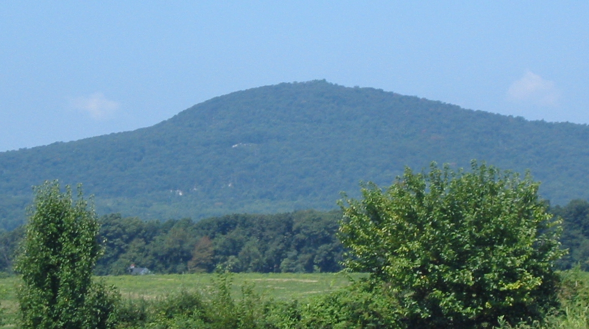 Sugar Loaf MountainSummitPhoto: Lowell Silverman at English Wikipedia, Public domain (via Wikimedia Commons)~1h 7m drive
 Short Hill MountainSummitPhoto: Arbogastlw, CC BY-SA 3.0 (via Wikimedia Commons)~1h 18m drive
 High RockSummitPhoto: Acroterion, CC BY-SA 4.0 (via Wikimedia Commons)~31 min drive
 Monument KnobSummitPhoto: Zeete, CC BY-SA 4.0 (via Wikimedia Commons)~52 min drive
Conditions and forecast
Daily highs and lows, wind and the chance of precipitation at the summit for the next 7 days, from the Open-Meteo model.
Questions about Cemetery Hill
How tall is Cemetery Hill?
628 ft (191 m).
Is there a trail to the top of Cemetery Hill?
We don't know of a mapped trail or route to the summit. Plan the approach with local maps, a guidebook or a local guide.
Ask about this place
Questions about Cemetery Hill: conditions, access, timing. Answers say when something isn't known.
