Cedar Point Tidelands Nrt A
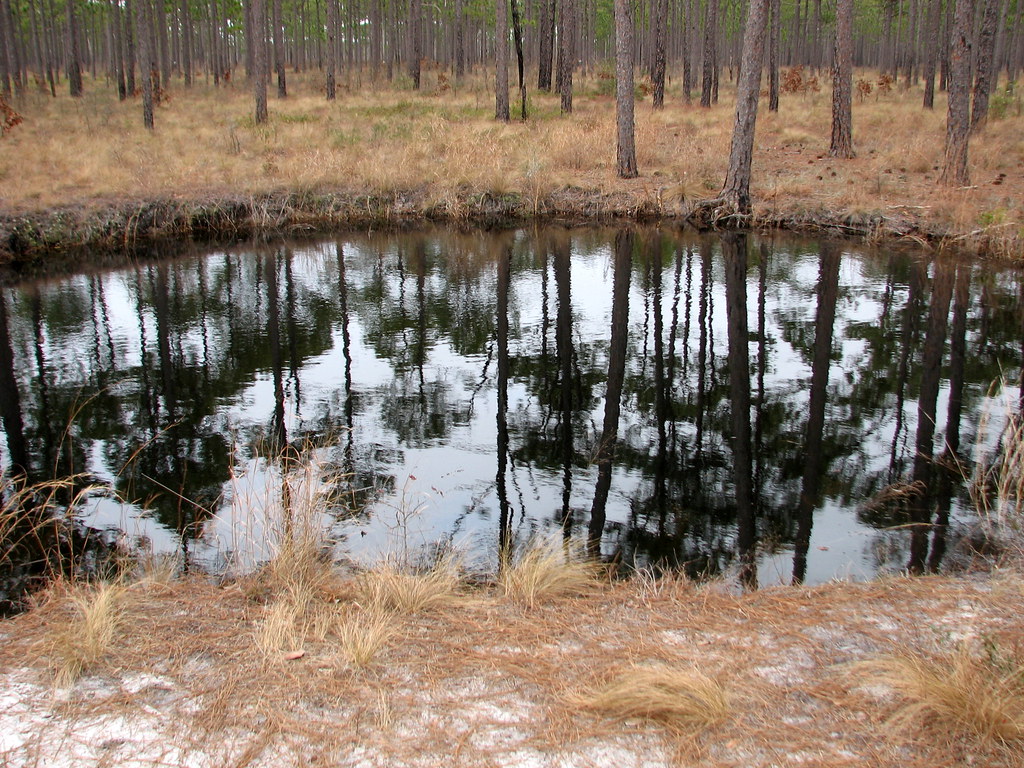
 Photo: pmuellr, CC BY 2.0 (via Flickr)
At a glance
Cedar Point Tidelands Nrt A is a short, easy hike in the Croatan Ranger District of the National Forests in North Carolina, managed by the Forest Service. The route is about 0.8 miles long and gains only about 10 feet in elevation, so it is a gentle walk rather than a climb. Spring and fall are the most comfortable times to go. Typical averages from a nearby weather station show May highs around 78°F and October highs around 74°F, while July and August average highs near 87°F with more wet days. The hike sits close to Cedar Point Campground and the full Cedar Point Tidelands Nrt, both about 0.2 miles away. Farther out, the Bear Island Trail offers paddling about 4 miles off, and the Patsy Pond Green Loop is roughly 7 miles away.
- loop
- 0.8 mi
- climb
- 10 ft
- route
- Loop
- difficulty
- Easy
- best months
- Feb–Jun, Sep–Dec
Where it is: Croatan Ranger District · National Forests in North Carolina
Near: Cedar Point
Best time to visit Cedar Point Tidelands Nrt A
Best months: February–June and September–December. Best months have typical highs of 55–85 °F, lows of 30 °F or warmer (32 °F where the station doesn't record snow), at most one snowy day and no more than 12 wet days.
Jan
54°
34°
11 wet
Feb
57°
36°
11 wet
Mar
63°
41°
11 wet
Apr
71°
50°
10 wet
May
78°
59°
10 wet
Jun
84°
67°
12 wet
Jul
87°
71°
12 wet
Aug
87°
70°
14 wet
Sep
82°
65°
12 wet
Oct
74°
54°
10 wet
Nov
65°
43°
10 wet
Dec
59°
37°
11 wet
Typical high / low (°F) and days with rain or snow, 1991–2020. Measured at Newport/Morehead City Wfo, NC, 13.2 mi away at 30 ft. We don't have this place's elevation, so higher spots nearby can run cooler. This station doesn't record snowfall. Source: NOAA NCEI U.S. Climate Normals 1991–2020.
Been here? Tell people how it was.
- Cedar Point Tidelands NrtHikingPhoto: pmuellr, CC BY 2.0 (via Flickr)0.2 mi
- Cedar Point CampgroundCamping0.2 mi
 Walking pathHikingPhoto: jjmusgrove, CC BY 2.0 (via Flickr)2.6 mi
- Bear Island TrailCanoeing3.9 mi
- PATSY POND GREEN LOOPHiking7.2 mi
 PATSY POND ORANGE LOOPHikingPhoto: Austin Pursley, CC0 (via Wikimedia Commons)7.3 mi
- Blue TrailHikingPhoto: Austin Pursley, CC0 (via Wikimedia Commons)7.3 mi
- PATSY POND BLUE LOOPHikingPhoto: Austin Pursley, CC0 (via Wikimedia Commons)7.3 mi
- Cedar Point Tidelands NrtHikingPhoto: pmuellr, CC BY 2.0 (via Flickr)Next door
 Yellow TrailHikingPhoto: bobistraveling, CC BY 2.0 (via Flickr)~13 min drive
- Weetock TrailHiking~16 min drive
- Walking pathHikingPhoto: jjmusgrove, CC BY 2.0 (via Flickr)~4 min drive
 PINECLIFF HORSE TRAIL CHikingPhoto: pmuellr, CC BY 2.0 (via Flickr)~37 min drive
- Neusiok TrailHiking~36 min drive
- PATSY POND ORANGE LOOPHikingPhoto: Austin Pursley, CC0 (via Wikimedia Commons)~12 min drive
- Weetock TrailHiking~17 min drive
- Blue TrailHikingPhoto: Austin Pursley, CC0 (via Wikimedia Commons)~12 min drive
- PINECLIFF HORSE TRAIL BHiking~36 min drive
Conditions and forecast
Caution todayAgency alerts are in effect for this areaUSFS · checked 1 min agoDaily highs and lows, wind and the chance of precipitation at Start for the next 7 days, from the Open-Meteo model.
Ask about this place
Questions about Cedar Point Tidelands Nrt A: conditions, access, timing. Answers say when something isn't known.
