Walking path
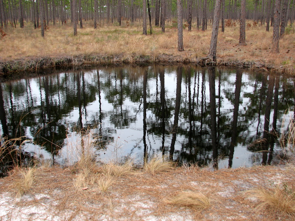
 Photo: jjmusgrove, CC BY 2.0 (via Flickr)
- 0.5 mi
- loop
- 46 ft
- climb
- 63 ft
- high point
- Loop
- route
- Sep–Jun
- best months
This short walking path is a 0.54-mile loop within Onslow County Park in North Carolina, on county land. It's an easy, low-elevation route that starts and ends at about 63 feet, with a total climb of 46 feet. The path is flat for most of the way, with a slight rise at about 0.48 miles where the grade reaches 5 percent. The trip takes about half an hour. Spring and fall are the most comfortable times to go. Typical averages from a nearby weather station show October highs around 73°F and April highs around 73°F, while July highs reach about 88°F. The station sits at a similar elevation, so temperatures here run roughly comparable to those figures. The Cedar Point Tidelands Nrt A and Cedar Point Campground are both about 2.6 miles away. Bear Island Trail, a paddling route, is about 3 miles off, and the Hubert By-Pass Jogging Trail is about 6.6 miles away.
 Cedar Point Tidelands Nrt AHikingPhoto: pmuellr, CC BY 2.0 (via Flickr)2.6 mi
- Cedar Point CampgroundCamping2.6 mi
- Cedar Point Tidelands NrtHikingPhoto: pmuellr, CC BY 2.0 (via Flickr)2.6 mi
- Bear Island TrailCanoeing3 mi
- Hubert By-Pass Jogging TrailHiking6.6 mi
- Weetock TrailHiking8 mi
- PATSY POND GREEN LOOPHiking9.7 mi
 PATSY POND ORANGE LOOPHikingPhoto: Austin Pursley, CC0 (via Wikimedia Commons)9.7 mi
Source: Roamze catalog (indexable pages within 10 miles, PostGIS distance)
- Cedar Point Tidelands Nrt AHiking · ~4 min drivePhoto: pmuellr, CC BY 2.0 (via Flickr)
 Yellow TrailHiking · ~17 min drivePhoto: bobistraveling, CC BY 2.0 (via Flickr)
- Neusiok TrailHiking · ~39 min drive
- Cedar Point Tidelands NrtHiking · ~4 min drivePhoto: pmuellr, CC BY 2.0 (via Flickr)
 PINECLIFF HORSE TRAIL CHiking · ~40 min drivePhoto: pmuellr, CC BY 2.0 (via Flickr)
- Weetock TrailHiking · ~14 min drive
- PATSY POND ORANGE LOOPHiking · ~17 min drivePhoto: Austin Pursley, CC0 (via Wikimedia Commons)
- Weetock TrailHiking · ~15 min drive
- Blue TrailHiking · ~17 min drivePhoto: Austin Pursley, CC0 (via Wikimedia Commons)
- PINECLIFF HORSE TRAIL BHiking · ~39 min drive
Best time to visit Walking path
Best months: September–June. Best months have typical highs of 55–85 °F, lows of 30 °F or warmer (32 °F where the station doesn't record snow), at most one snowy day and no more than 12 wet days.
Jan
55° / 32°
10 wet
Feb
57° / 33°
10 wet
Mar
64° / 38°
10 wet
Apr
73° / 47°
9 wet
May
79° / 55°
10 wet
Jun
85° / 64°
11 wet
Jul
88° / 68°
13 wet
Aug
86° / 66°
12 wet
Sep
81° / 62°
11 wet
Oct
73° / 50°
9 wet
Nov
64° / 39°
8 wet
Dec
57° / 34°
10 wet
Typical high / low (°F) and days with rain or snow, 1991–2020. Measured at Hofmann Forest, NC, 13.7 mi away at 47 ft. This station doesn't record snowfall. Source: NOAA NCEI U.S. Climate Normals 1991–2020.
Map and trail data © OpenStreetMap contributors
