Poplar Grove Youth Group Campground
Campground
0.4 mi from the trail
 Photo: Vegemighty (talk), CC0 (via Wikimedia Commons)
Catoctin Mountain is a summit of 1,880 feet in Catoctin Mountain Park, a National Park Service unit in Maryland, about 3.6 miles from the town of Sabillasville. The most comfortable time to visit is late spring or early fall. Typical averages from a nearby weather station show May highs around 73°F and September highs around 75°F, with July the warmest month at about 84°F. That station sits roughly 270 feet below the summit, so temperatures on top run a little cooler. Several other destinations sit within about half a mile. Poplar Grove Youth Group Campground is 0.4 miles away, and the Hog Rock Nature Trail and the Hog Rock climbing area are both about 0.5 miles off. Adirondack Shelters, another camping option, is about 1.1 miles away.
Where it is: Catoctin Mountain Park
Near: Thurmont
Best months: April and June–October. Best months have typical highs of 55–85 °F, lows of 30 °F or warmer (32 °F where the station doesn't record snow), at most one snowy day and no more than 12 wet days.
Jan
39°
23°
10 wet
Feb
42°
25°
9 wet
Mar
52°
31°
12 wet
Apr
65°
42°
12 wet
May
73°
52°
14 wet
Jun
80°
60°
12 wet
Jul
84°
65°
12 wet
Aug
81°
63°
12 wet
Sep
75°
58°
11 wet
Oct
65°
46°
11 wet
Nov
53°
36°
11 wet
Dec
43°
28°
10 wet
Typical high / low (°F) and days with rain or snow, 1991–2020. Measured at Catoctin Mtn Park, MD, 0.9 mi away at 1,610 ft. This station doesn't record snowfall. Source: NOAA NCEI U.S. Climate Normals 1991–2020.
Catoctin Mountain Park announces temporary closures November 13 - 15, 2026
Catoctin Mountain Park · seen Sep 17, 2026 → lifted Nov 15, 2026 · National Park Service
Been here? Tell people how it was.
We don't know of a mapped trail or route to the summit of Catoctin Mountain. Plan the approach with local maps, a guidebook or a local guide, and check conditions before you go.

 TR-13 Spicebush TrailHikingPhoto: beyond_the_sea01, Public Domain Mark (via Flickr)0.5 mi
 Hog Rock Nature TrailHikingPhoto: beyond_the_sea01, Public Domain Mark (via Flickr)0.5 mi
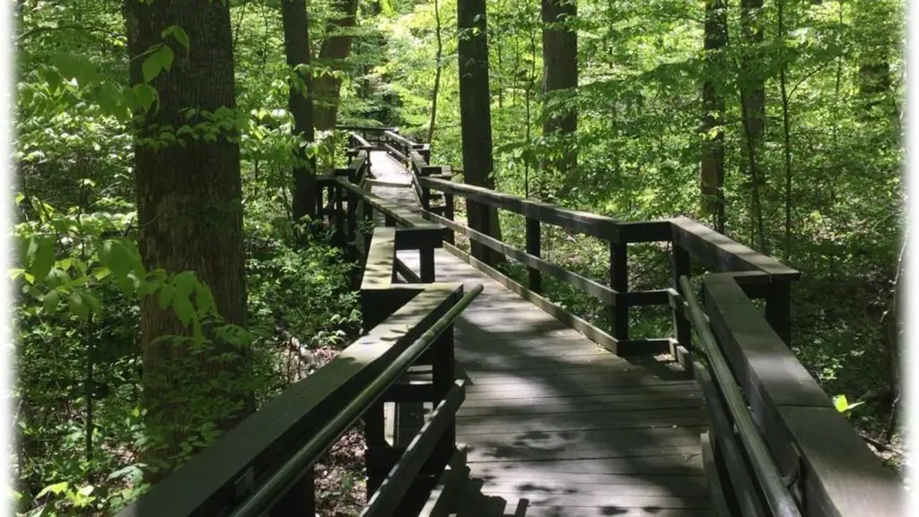 Adirondack SheltersCampingPhoto: Recreation.gov (RIDB) / public domain1.1 miChimney RockSummitPhoto: Unknown authorUnknown author or not provided, Public domain (via Wikimedia Commons)~4 min drive
 High RockSummitPhoto: Acroterion, CC BY-SA 4.0 (via Wikimedia Commons)~8 min drive
 Black RockSummitPhoto: Zeete, CC BY-SA 4.0 (via Wikimedia Commons)~15 min drive
 Monument KnobSummitPhoto: Zeete, CC BY-SA 4.0 (via Wikimedia Commons)~23 min drive
 Lambs KnollSummitPhoto: Joe Calzarette, Public domain (via Wikimedia Commons)~28 min drive
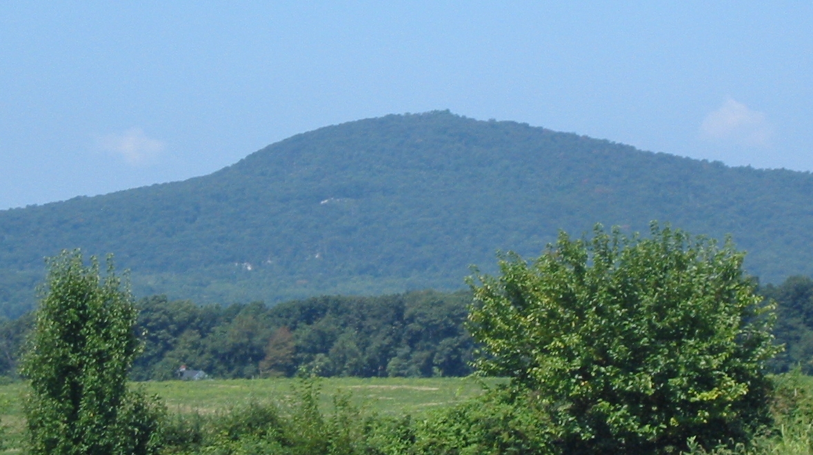 Sugar Loaf MountainSummitPhoto: Lowell Silverman at English Wikipedia, Public domain (via Wikimedia Commons)~46 min drive
 Furnace MountainSummitPhoto: Arbogastlw at English Wikipedia, Public domain (via Wikimedia Commons)~46 min drive
 Short Hill MountainSummitPhoto: Arbogastlw, CC BY-SA 3.0 (via Wikimedia Commons)~50 min drive
 Clarks KnobSummitPhoto: Calzarette at en.wikipedia, Public domain (via Wikimedia Commons)~54 min drive
 Big MountainSummitPhoto: Calzarette at en.wikipedia, Public domain (via Wikimedia Commons)~56 min drive
Also worth it near here
TR-13 Spicebush TrailHikingPhoto: beyond_the_sea01, Public Domain Mark (via Flickr)Next door Camp Greentop Historic DistrictCampingPhoto: Acroterion, CC BY-SA 4.0 (via Wikimedia Commons)~1 min drive
 Chief BlockRock climbingPhoto: Jarek Tuszyński, CC BY 4.0 (via Wikimedia Commons)~2 min drive
Daily highs and lows, wind and the chance of precipitation at the summit for the next 7 days, from the Open-Meteo model.
1,880 ft (573 m).
We don't know of a mapped trail or route to the summit. Plan the approach with local maps, a guidebook or a local guide.
Questions about Catoctin Mountain: conditions, access, timing. Answers say when something isn't known.
Poplar Grove Youth Group Campground
Campground
 If it rainsAcroterion, CC BY-SA 4.0 · Wikimedia Commons
Schifferstadt Architectural Museum
Museum
Places © OpenStreetMap contributors · Photos: Acroterion, CC BY-SA 4.0 (commons)
More in Ballenger Creek