Steele Creek Park & Family Campground
Campground
5.3 mi from the trail
The Camel is a climbing area in the Linville Gorge Wilderness, part of the Grandfather Ranger District of the National Forests in North Carolina. The Forest Service manages the land, and the area sits within designated wilderness, which sets it apart as a backcountry destination rather than a developed recreation site. The climbing here is all trad, with six routes spread across a range of grades from 5.5 to 5.11. Camel Access and Camel Trader are the easiest, both at 5.5, while The North Face and Southeast Arete top out at 5.11. The North Face was first climbed by Steve Pope and Phil Bennett in 1990, and Southeast Arete by Nathan Brown and Wesley Calkins. The most comfortable months for a visit are late spring and early fall. Typical averages from a nearby weather station at Spruce Pine run from highs around 71°F in May to 74°F in September, with July the warmest at about 81°F. North Carolina Wall lies just 0.1 mile away, and Amphitheater is about half a mile off. Table Rock Summit and Shortoff are both roughly 0.7 mile away.
6 routes · 5.5 – 5.11- · Trad
Where it is: Linville Gorge Wilderness · Grandfather Ranger District
Near: Morganton
Best months: March–October. Best months have typical highs of 55–85 °F, lows of 30 °F or warmer (32 °F where the station doesn't record snow), at most one snowy day and no more than 12 wet days.
Jan
45°
24°
Feb
47°
26°
Mar
55°
32°
Apr
64°
39°
May
71°
48°
Jun
78°
57°
Jul
81°
60°
Aug
80°
59°
Sep
74°
53°
Oct
65°
42°
Nov
56°
31°
Dec
48°
27°
Typical high / low (°F) and days with rain or snow, 1991–2020. Measured at Spruce Pine 2 Ne, NC, 7.3 mi away at 2,850 ft. This station doesn't record snowfall. Source: NOAA NCEI U.S. Climate Normals 1991–2020.
Been here? Tell people how it was.
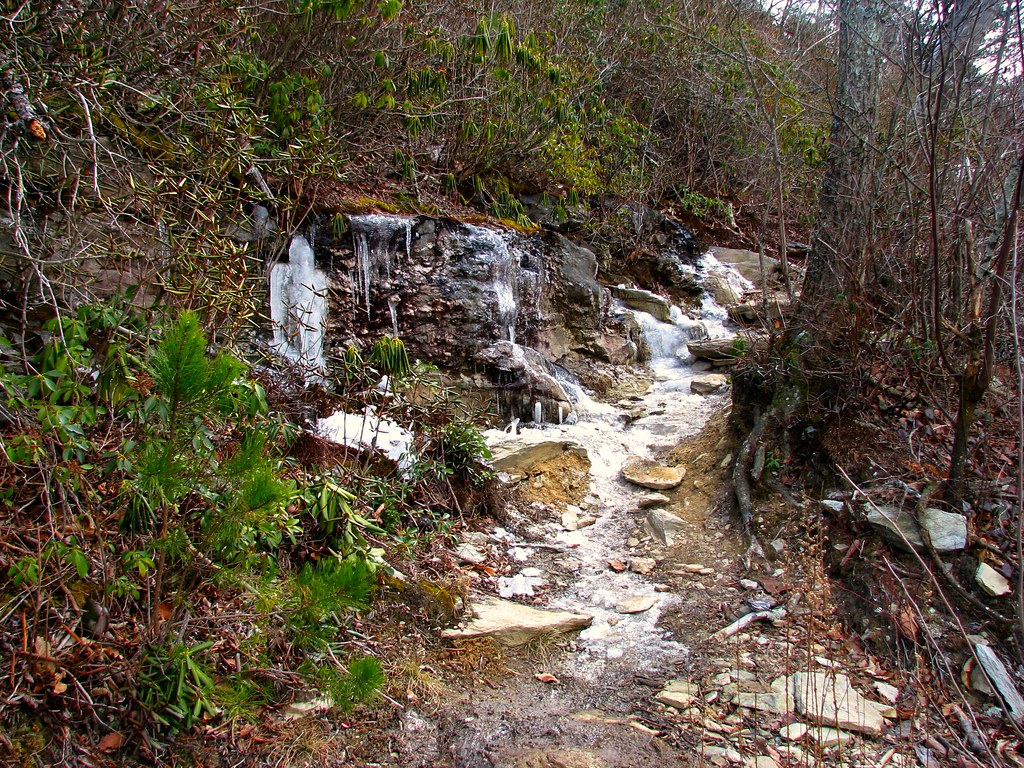 Table Rock SummitHikingPhoto: LetTheCardsFall, CC BY-SA 2.0 (via Flickr)0.7 miShortoffHikingPhoto: LetTheCardsFall, CC BY-SA 2.0 (via Flickr)0.7 mi
 Henson Creek CanyonRock climbingPhoto: LetTheCardsFall, CC BY-SA 2.0 (via Flickr)~1 min driveTable RockRock climbingPhoto: LetTheCardsFall, CC BY-SA 2.0 (via Flickr)~1 min drive
 Wiseman's ViewRock climbingPhoto: msprague, CC BY-SA 2.0 (via Flickr)~3 min drive
 Middle HawksbillRock climbingPhoto: npdoty, CC BY 2.0 (via Flickr)~4 min driveLower HawksbillRock climbingPhoto: npdoty, CC BY 2.0 (via Flickr)~4 min drive
 Main WallRock climbingPhoto: npdoty, CC BY 2.0 (via Flickr)~4 min driveHawksbill MtnRock climbingPhoto: npdoty, CC BY 2.0 (via Flickr)~4 min drive
 Sunken TreasureRock climbingPhoto: pmuellr, CC BY 2.0 (via Flickr)~27 min driveUpper TierRock climbingPhoto: pmuellr, CC BY 2.0 (via Flickr)~27 min driveConley CoveRock climbingPhoto: LetTheCardsFall, CC BY-SA 2.0 (via Flickr)~1 min drive
Also worth it near here
Table Rock SummitHikingPhoto: LetTheCardsFall, CC BY-SA 2.0 (via Flickr)~1 min drive Table Rock MountainSummitPhoto: Omarcheeseboro, CC BY-SA 3.0 (via Wikimedia Commons)~2 min drive
 Linville FallsWaterfallPhoto: Ken Thomas, Public domain (via Wikimedia Commons)~9 min drive
Daily highs and lows, wind and the chance of precipitation at The Camel for the next 7 days, from the Open-Meteo model.
Questions about The Camel: conditions, access, timing. Answers say when something isn't known.
Steele Creek Park & Family Campground
Campground
Famous Louise's Rock House Restaurant
Restaurant
Gem Mountain Gemstone Mine
Attraction
Places © OpenStreetMap contributors
More in Spruce Pine