Free — you'll pick up right here.
Watch this water
Sign up to watch it — saving subscribes you to gate, closure and report changes.
Arkansas
Caddo/Womble Ranger District
No verdict for this water
We won't guess. Here is exactly what we do and don't know.
What we do know
Inside Ouachita National Forest
2 managing-area boundaries mapped — agency alerts for them feed this page automatically.
Boundary data
What's missing
No access route mapped
We don't yet know which road reaches this trailhead, so we can't tell you if it's gated.
Nobody's filed a report here yet — be the first.
Why you'll love it

Here's your day on the water, mapped
Caddo/Womble Ranger District
AI-suggested draft · review before you go
Gear for the day
Photos
Directions & GPX
About this water
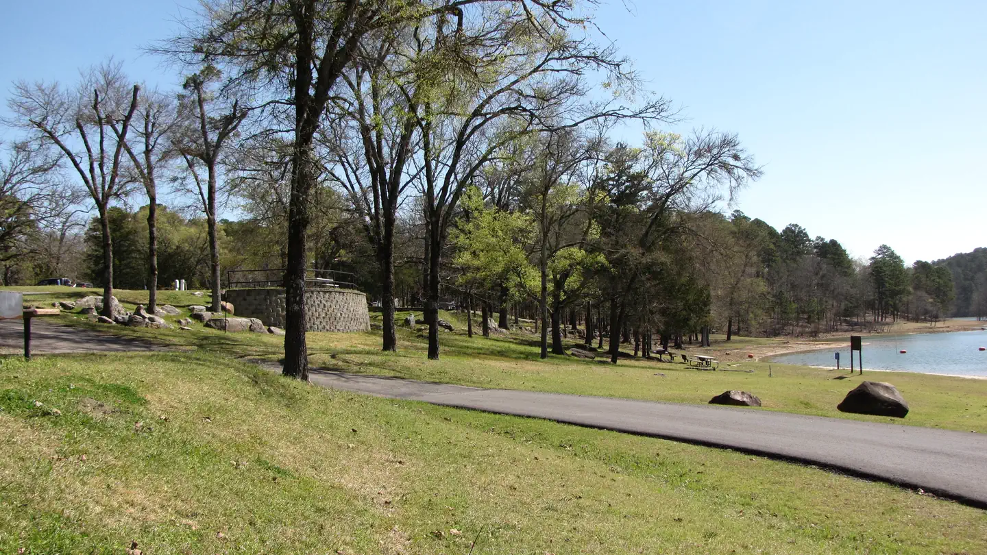
Caddo/Womble Office1523 Hwy 270EMount Ida, AR 71957(870)867-2101The Caddo-Womble Ranger District consists of approximately 310,000 acres located in the Ouachita Mountains. The district has very diverse natural resource and recreational programs. Annually, there are timber sales of 18 to 20 MMBF (million board feet), prescribed burns of 25,000 – 30,000 acres, diverse wildlife and fisheries programs, and a unique quartz minerals program. The district office is located in Mount Ida, a small rural community of 900 people surrounded by national forest, Corps of Engineers managed lands, and Lake Ouachita. Lake Ouachita, at 40,000 acres, is one of the largest, cleanest, and most beautiful lakes in the Southern Region of the USDA Forest Service. Hiking, camping, fishing, hunting, canoeing, and water sports such as swimming, scuba diving, and boating attract people from all over the south and midwest to the district. Come visit the Caddo-Womble District to experience our beautiful scenery, vast natural resources, and developed and dispersed recreation programs!Recreation sites within the Caddo/Womble Ranger District.
Add to a trip & share
Keep exploring — more waters worth the drive
Cowhide Cove
~44 min drive
A worthwhile stop near Arkansas.
Outlet Area
~1h 6m drive
A worthwhile stop near Arkansas.
Little Fir Landing
~9 min drive
A worthwhile stop near Arkansas.
Shouse Ford
~45 min drive
A worthwhile stop near Arkansas.
Jefferson Ridge
~1h 9m drive
A worthwhile stop near Arkansas.
Little Fir Recreation Area
~11 min drive
A worthwhile stop near Arkansas.
Parker Creek
~49 min drive
A worthwhile stop near Arkansas.
Cove Lake Recreation Area
~1h 21m drive
A worthwhile stop near Arkansas.
Highway 27 Fishing Village
~12 min drive
A worthwhile stop near Arkansas.
Alpine Ridge
~50 min drive
A worthwhile stop near Arkansas.

