
Ribbonwood Equestrian Cg
Campground
0.6 mi from the trail
 Photo: bossco, CC BY-SA 2.0 (via Flickr)
Cactus Springs is a hard out-and-back hike in California's San Bernardino National Forest, within the San Jacinto Ranger District. The trail is about 19.4 miles long, with an elevation gain of 1,936 feet, and the climb makes it a demanding day on foot. The most comfortable months for this hike are winter and early spring, when typical averages from a nearby weather station run from highs around 70°F in December and January to about 80°F in March. Summer is much hotter, with typical highs near 106°F in July. Ribbonwood Equestrian Campground sits just 0.6 miles away, and the Pinyon Trail and Sawmill hikes are both within about 2 miles. Palm Canyon lies roughly 3 miles off.
Where it is: San Jacinto Ranger District · San Bernardino National Forest
Near: Palm Desert
Best time to go: Nov–Mar. The mildest months here, with typical highs of 69–80°F and lows of 45–57°F.
Typical monthly averages (not a forecast) from the Indio Fire Stn, CA weather station, 16 mi away. High / low in °F, and days with snow.
Been here? Tell people how it was.
 Ribbonwood Equestrian CgCampingPhoto: Recreation.gov (RIDB) / public domain0.6 mi
 Pinyon TrailHikingPhoto: Lukáš Lalinský, CC BY-SA 2.0 (via Flickr)1.3 mi
 SawmillHikingPhoto: rmalouf, CC BY 2.0 (via Flickr)2 mi
 Palm CanyonHikingPhoto: USFWS Pacific Southwest Region, Public Domain Mark (via Flickr)3.1 miPinyon TrailHikingPhoto: Lukáš Lalinský, CC BY-SA 2.0 (via Flickr)~2 min drive
 Hopalong Cassidy TrailHikingPhoto: docentjoyce, CC BY 2.0 (via Flickr)~11 min drive
 Dry Wash TrailHikingPhoto: Martin Haeusler, CC BY-SA 3.0 (via Wikimedia Commons)~18 min drive
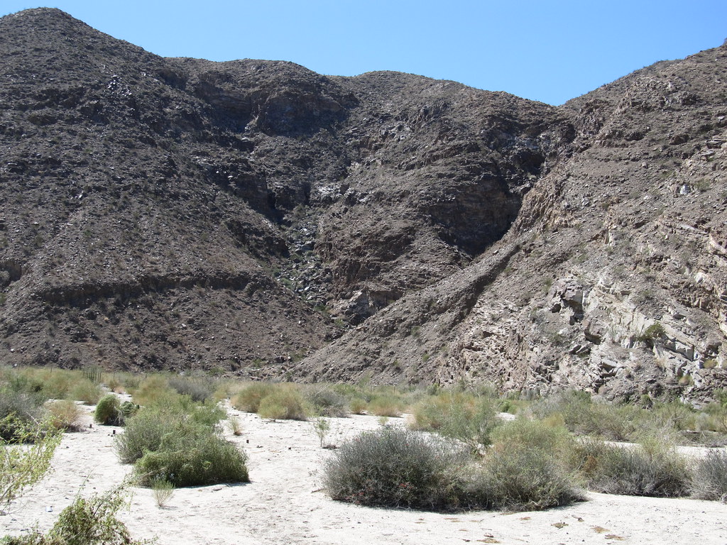 Carrizo CanyonHikingPhoto: Ken Lund, CC BY-SA 2.0 (via Flickr)~11 min drive
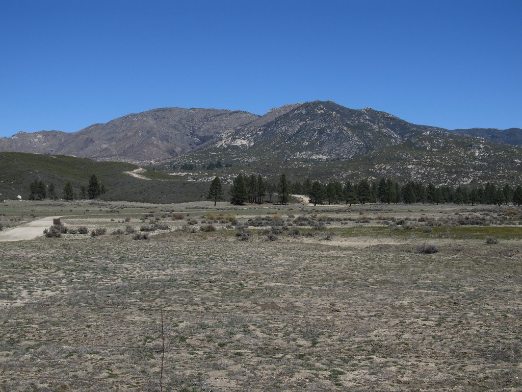 RamonaHikingPhoto: Ken Lund, CC BY-SA 2.0 (via Flickr)~19 min driveSawmillHikingPhoto: rmalouf, CC BY 2.0 (via Flickr)~3 min driveDead Indian CanyonHikingPhoto: Ken Lund, CC BY-SA 2.0 (via Flickr)~11 min drivePalm CanyonHikingPhoto: USFWS Pacific Southwest Region, Public Domain Mark (via Flickr)~5 min drive
Daily highs and lows, wind and the chance of precipitation at Start for the next 7 days, from the Open-Meteo model.
Questions about Cactus Springs: conditions, access, timing. Answers say when something isn't known.
Ribbonwood Equestrian Cg
Campground
The Pour House
Restaurant
Children's museum in Rancho Mirage, California
Places © OpenStreetMap contributors, Places © Overture Maps Foundation
More in CoachellaNot on Roamze yet. Their page has how to reach them.
