Bottomland Nature Trail
At a glance
Bottomland Nature Trail is a 2.4-mile out-and-back trail in Kansas managed by the National Park Service. The trail gains 30 feet of elevation.
- round trip
- 1.2 mi
- climb
- 30 ft
- route
- Out and back
- difficulty
- Easy
- best months
- Mar–May, Sep–Nov
Near: Emporia
Is Bottomland Nature Trail open right now?
Closure reported
The National Park Service lists a closure that covers Bottomland Nature Trail.
Bottomland Nature Trail Closed for Repair Starting November 16th
Park closure covering Tallgrass Prairie National Preserve · NPS · Tallgrass Prairie National Preserve
West Traps Pasture Hiking Trails Closed Until December 4
Park closure covering Tallgrass Prairie National Preserve · NPS · Tallgrass Prairie National Preserve
Visitor Center Closed on Mondays and Tuesdays in Winter Months
Park closure covering Tallgrass Prairie National Preserve · NPS · Tallgrass Prairie National Preserve
Dangerous Highway Crossing
Park alert covering Tallgrass Prairie National Preserve · NPS · Tallgrass Prairie National Preserve
As of · Source: NPS · Tallgrass Prairie National Preserve. Agencies don't list every closure — check before you go.
Best time to visit Bottomland Nature Trail
Best months: March–May and September–November. Best months have typical highs of 55–85 °F, lows of 30 °F or warmer (32 °F where the station doesn't record snow), at most one snowy day and no more than 12 wet days.
Jan
43°
18°
4 wet · 2 snow
Feb
47°
23°
5 wet · 2 snow
Mar
58°
32°
7 wet · 1 snow
Apr
68°
43°
8 wet
May
76°
54°
9 wet
Jun
86°
64°
8 wet
Jul
92°
69°
7 wet
Aug
91°
67°
7 wet
Sep
82°
57°
6 wet
Oct
71°
44°
6 wet
Nov
57°
33°
4 wet
Dec
45°
23°
4 wet · 2 snow
Typical high / low (°F) and days with rain or snow, 1991–2020. Measured at Tallgrass Prairie Np, KS, 1.9 mi away at 1,250 ft. We don't have this place's elevation, so higher spots nearby can run cooler. Source: NOAA NCEI U.S. Climate Normals 1991–2020.
Closures we've recorded since August 2026
Bottomland Nature Trail Closed for Repair Starting November 16th
Tallgrass Prairie National Preserve · seen Nov 5, 2026, no lift recorded · National Park Service
Been here? Tell people how it was.
 Z Bar SpurHikingPhoto: xiquinhosilva, CC BY 2.0 (via Flickr)~3 min drive
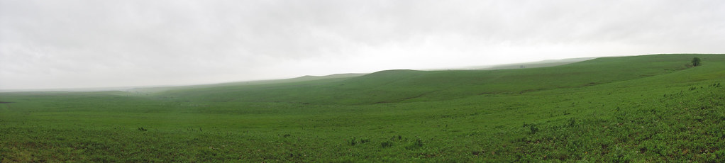 Prairie Fire LoopHikingPhoto: cm195902, CC BY 2.0 (via Flickr)~7 min drive
- Ranch Legacy TrailHikingPhoto: xiquinhosilva, CC BY 2.0 (via Flickr)~3 min drive
- Southwind Nature TrailHikingPhoto: xiquinhosilva, CC BY 2.0 (via Flickr)~4 min drive
- Scenic Overlook TrailHikingPhoto: cm195902, CC BY 2.0 (via Flickr)~7 min drive
 Cusher Hill LoopHikingPhoto: cm195902, CC BY 2.0 (via Flickr)~3 min drive
- Gas House CutoffHikingPhoto: cm195902, CC BY 2.0 (via Flickr)~8 min drive
- Fox Creek TrailHiking~1 min drive
- Two Section TrailHiking~5 min drive
- Davis TrailHiking~5 min drive
Conditions and forecast
Daily highs and lows, wind and the chance of precipitation at Start for the next 7 days, from the Open-Meteo model.
Ask about this place
Questions about Bottomland Nature Trail: conditions, access, timing. Answers say when something isn't known.
